Property Record
830 Brickell Plz, Miami, FL 33131

Save to a Folder
{{folder.Name}}
{{folder.ListingIds.length}} Properties
{{folder.ListingIds.length}} Property
Create a New Folder
Property Detail
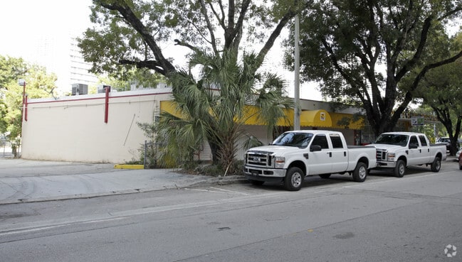
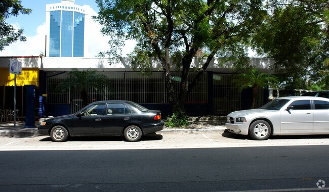
830 Brickell Plz
01-0205-050-1120
CITY OF MIAMI SOUTH PB B-41 LOT 12 LESS S 0.43FT OF E 48.01FT BLK 55 & LOT 13 & LOTS 1, 2 & 3 LESS N 10FT FOR R/W BLK 55 LOT SIZE 35938 SQ FT M/L
Officebuilding
Miami-Dade
6408
Florida
AE The base floodplain where base flood elevations are provided. AE Zones are now used on new format FIRMs instead of A1-A30 Zones.
13,12
2025
0.83 AC
2025
Brickell
006718
South Florida
1,050,691 SF
Miami-Miami Beach-Kendall, FL
NEARBY LISTINGS FOR SALE OR LEASE
DEMOGRAPHICS near 830 Brickell Plz
1 mile
3 mile
5 mile
2025 Total Population
80,465
255,445
521,994
2030 Population
88,343
278,723
568,440
Pop Growth 2025-2030
+ 9.79%
+ 9.11%
+ 8.90%
Average Age
39
40
41
2025 Total Households
40,898
117,041
231,135
HH Growth 2025-2030
+ 9.50%
+ 9.33%
+ 9.24%
Median Household Inc
$110,327
$77,918
$70,273
Avg Household Size
1.90
2.10
2.20
2025 Avg HH Vehicles
1.00
1.00
1.00
Median Home Value
$701,214
$693,317
$658,752
Median Year Built
2004
1997
1979
Nearby Places
Map Layers
Map Styles
 Street
 Aerial
Layers
 Traffic
 Biking
Places
Listings with unknown addresses are not visible on the map
- Restaurants
- Banks
- Shops
- Fitness
- Groceries
PUBLIC TRANSPORTATION
TRANSIT/SUBWAY
Eighth Street (Metromover Brickell Loop - Miami-Dade Transit (Metrorail/Metromover))
Drive
Walk
Distance
Eighth Street (Metromover Brickell Loop - Miami-Dade Transit (Metrorail/Metromover))
1 min
1 min
0.1 mi
Tenth Street/Promenade (Metromover Brickell Loop - Miami-Dade Transit (Metrorail/Metromover))
Drive
Walk
Distance
Tenth Street/Promenade (Metromover Brickell Loop - Miami-Dade Transit (Metrorail/Metromover))
1 min
3 min
0.1 mi
Fifth Street (Metromover Brickell Loop - Miami-Dade Transit (Metrorail/Metromover))
Drive
Walk
Distance
Fifth Street (Metromover Brickell Loop - Miami-Dade Transit (Metrorail/Metromover))
2 min
5 min
0.3 mi
Brickell (Metrorail) (Metrorail Green Line - Miami-Dade Transit (Metrorail/Metromover))
Drive
Walk
Distance
Brickell (Metrorail) (Metrorail Green Line - Miami-Dade Transit (Metrorail/Metromover))
1 min
6 min
0.3 mi
Brickell (Metromover) (Metromover Brickell Loop - Miami-Dade Transit (Metrorail/Metromover))
Drive
Walk
Distance
Brickell (Metromover) (Metromover Brickell Loop - Miami-Dade Transit (Metrorail/Metromover))
1 min
7 min
0.4 mi
COMMUTER RAIL
Brickell (Metrorail) (Metrorail Green Line - Miami-Dade Transit (Metrorail/Metromover))
Drive
Walk
Distance
Brickell (Metrorail) (Metrorail Green Line - Miami-Dade Transit (Metrorail/Metromover))
1 min
7 min
0.3 mi
Government Center (Metromover Brickell Loop - Miami-Dade Transit (Metrorail/Metromover), Metromover Downtown Loop - Miami-Dade Transit (Metrorail/Metromover), Metromover Omni Loop - Miami-Dade Transit (Metrorail/Metromover), Metrorail Green Line - Miami-Dade Transit (Metrorail/Metromover))
Drive
Walk
Distance
Government Center (Metromover Brickell Loop - Miami-Dade Transit (Metrorail/Metromover), Metromover Downtown Loop - Miami-Dade Transit (Metrorail/Metromover), Metromover Omni Loop - Miami-Dade Transit (Metrorail/Metromover), Metrorail Green Line - Miami-Dade Transit (Metrorail/Metromover))
4 min
18 min
0.9 mi
AIRPORT
Miami International
Drive
Walk
Distance
Miami International
24 min
12.7 mi
Fort Lauderdale/Hollywood International
Drive
Walk
Distance
Fort Lauderdale/Hollywood International
35 min
24.4 mi
Freight Ports
Port of Miami
Drive
Walk
Distance
Port of Miami
8 min
2.8 mi
Nearby Properties
Address
Land Use
TOTAL SIZE
Lot Size
Zoning
Address
Land Use
TOTAL SIZE
Lot Size
Zoning
4,758,614 SF
810.91 AC
8000
Address
Land Use
TOTAL SIZE
Lot Size
Zoning
955,966 SF
38.91 AC
9600
Address
Land Use
TOTAL SIZE
Lot Size
Zoning
2,559,318 SF
2.21 AC
6407
Address
Land Use
TOTAL SIZE
Lot Size
Zoning
2,039,308 SF
2.46 AC
6401
Address
Land Use
TOTAL SIZE
Lot Size
Zoning
928,000 SF
14.30 AC
8000
Address
Land Use
TOTAL SIZE
Lot Size
Zoning
1,110,657 SF
3.83 AC
6407
Address
Land Use
TOTAL SIZE
Lot Size
Zoning
1,346,294 SF
1.89 AC
6408
Address
Land Use
TOTAL SIZE
Lot Size
Zoning
2,403,353 SF
7.37 AC
6100
Address
Land Use
TOTAL SIZE
Lot Size
Zoning
1,938,271 SF
6.62 AC
6402
Address
Land Use
TOTAL SIZE
Lot Size
Zoning
1,162,113 SF
1.92 AC
6407
Address
Land Use
TOTAL SIZE
Lot Size
Zoning
1,075,124 SF
1.61 AC
6405
Address
Land Use
TOTAL SIZE
Lot Size
Zoning
1,544,491 SF
0.97 AC
6401
Address
Land Use
TOTAL SIZE
Lot Size
Zoning
782,686 SF
0.06 AC
6401
Address
Land Use
TOTAL SIZE
Lot Size
Zoning
1,657,362 SF
1.15 AC
6401
Address
Land Use
TOTAL SIZE
Lot Size
Zoning
1,072,012 SF
1.78 AC
6407
Address
Land Use
TOTAL SIZE
Lot Size
Zoning
244,533 SF
3.53 AC
6600
Address
Land Use
TOTAL SIZE
Lot Size
Zoning
694,863 SF
1.90 AC
6407
Address
Land Use
TOTAL SIZE
Lot Size
Zoning
656,821 SF
2.06 AC
6407
Address
Land Use
TOTAL SIZE
Lot Size
Zoning
303,989 SF
1.47 AC
6600
Address
Land Use
TOTAL SIZE
Lot Size
Zoning
416,675 SF
6.48 AC
6401
Address
Land Use
TOTAL SIZE
Lot Size
Zoning
1,004,006 SF
0.92 AC
6401
Address
Land Use
TOTAL SIZE
Lot Size
Zoning
2.50 AC
6407
Address
Land Use
TOTAL SIZE
Lot Size
Zoning
585,775 SF
1.86 AC
6101
Address
Land Use
TOTAL SIZE
Lot Size
Zoning
868,860 SF
2.14 AC
6402
Address
Land Use
TOTAL SIZE
Lot Size
Zoning
491,308 SF
0.14 AC
6401
Address
Land Use
TOTAL SIZE
Lot Size
Zoning
903,993 SF
0.60 AC
6412
Address
Land Use
TOTAL SIZE
Lot Size
Zoning
872,245 SF
0.56 AC
6401
Address
Land Use
TOTAL SIZE
Lot Size
Zoning
727,757 SF
0.64 AC
6408
Address
Land Use
TOTAL SIZE
Lot Size
Zoning
615,785 SF
3.81 AC
4604
The World's #1 Commercial Real Estate Marketplace
Connect with us
© 2026 CoStar Group
The information above has been obtained from sources believed reliable. While we do not doubt its accuracy we have not verified it and make no guarantee, warranty or representation about it. It is your responsibility to independently confirm its accuracy and completeness. Any projections, opinions, assumptions, or estimates used are for example only and do not represent the current or future performance of the property. The value of this transaction to you depends on tax and other factors which should be evaluated by your tax, financial, and legal advisors. You and your advisors should conduct a careful, independent investigation of the property to determine to your satisfaction the suitability of the property for your needs.