Property Record
8315 Beechmont Ave, Cincinnati, OH 45255
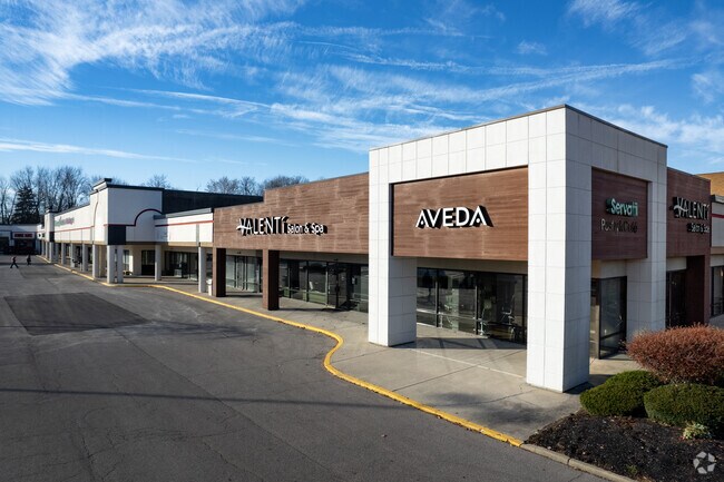
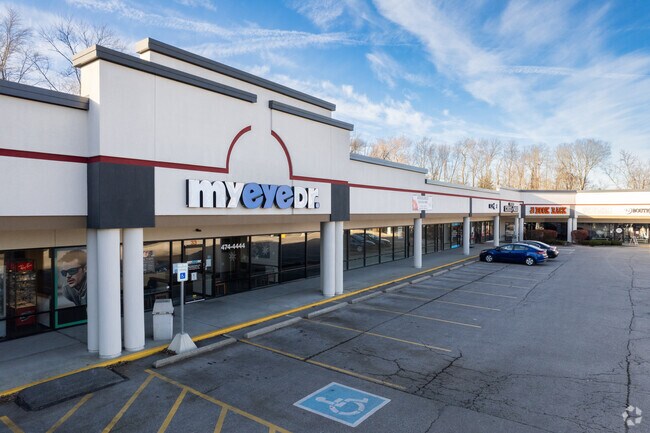
Property Detail
8315 Beechmont Ave
Cincinnati, OH-KY-IN
SS BEECHMONT AVE 7.743 ACMS HITE 608 PT LOTS 4-5 J BENNETTS SUB PAR 13, ST EASE14 CONS
500-0123-0015
Hamilton
Regionalshoppingcenterormallwithanchorstore
Ohio
B and X Area of moderate flood hazard, usually the area between the limits of the 100-year and 500-year floods.
4-5
2025
0.79 AC
2025
Eastgate/Anderson Twp
025103
Cincinnati/Dayton
10,275 SF
NEARBY LISTINGS FOR SALE OR LEASE
DEMOGRAPHICS near 8315 Beechmont Ave
1 mile
3 mile
5 mile
2025 Total Population
10,965
54,715
114,512
2030 Population
11,056
55,108
115,889
Pop Growth 2025-2030
+ 0.83%
+ 0.72%
+ 1.20%
Average Age
41
41
41
2025 Total Households
4,449
21,868
47,358
HH Growth 2025-2030
+ 1.17%
+ 0.94%
+ 1.44%
Median Household Inc
$92,888
$90,635
$84,924
Avg Household Size
2.40
2.40
2.40
2025 Avg HH Vehicles
2.00
2.00
2.00
Median Home Value
$299,274
$309,964
$295,220
Median Year Built
1978
1978
1978
Nearby Places
Map Layers
Map Styles
 Street
 Aerial
Layers
 Traffic
 Biking
Places
Listings with unknown addresses are not visible on the map
- Restaurants
- Banks
- Shops
- Fitness
- Groceries
PUBLIC TRANSPORTATION
AIRPORT
Cincinnati/Northern Kentucky International
Drive
Walk
Distance
Cincinnati/Northern Kentucky International
37 min
22.6 mi
Freight Ports
Port of Toledo
Drive
Walk
Distance
Port of Toledo
249 min
213.8 mi
SALE & LEASE HISTORY
LISTING DATE
SALE/LEASE

Sep 25, 2016
For Lease
Sep 21, 2017
For Lease
Aug 09, 2024
For Lease
Nearby Properties
Address
Land Use
TOTAL SIZE
Lot Size
Zoning
Address
Land Use
TOTAL SIZE
Lot Size
Zoning
26.42 AC
Address
Land Use
TOTAL SIZE
Lot Size
Zoning
50,382 SF
33.05 AC
Address
Land Use
TOTAL SIZE
Lot Size
Zoning
3.87 AC
Address
Land Use
TOTAL SIZE
Lot Size
Zoning
25.31 AC
Address
Land Use
TOTAL SIZE
Lot Size
Zoning
25.27 AC
Address
Land Use
TOTAL SIZE
Lot Size
Zoning
Address
Land Use
TOTAL SIZE
Lot Size
Zoning
52,178 SF
5.98 AC
Address
Land Use
TOTAL SIZE
Lot Size
Zoning
11.96 AC
Address
Land Use
TOTAL SIZE
Lot Size
Zoning
5.09 AC
Address
Land Use
TOTAL SIZE
Lot Size
Zoning
36.96 AC
Address
Land Use
TOTAL SIZE
Lot Size
Zoning
12,505 SF
37.33 AC
SF6
Address
Land Use
TOTAL SIZE
Lot Size
Zoning
16.77 AC
Address
Land Use
TOTAL SIZE
Lot Size
Zoning
1,680 SF
13.55 AC
Address
Land Use
TOTAL SIZE
Lot Size
Zoning
72,272 SF
20.31 AC
Address
Land Use
TOTAL SIZE
Lot Size
Zoning
14.12 AC
Address
Land Use
TOTAL SIZE
Lot Size
Zoning
12,000 SF
22.66 AC
Address
Land Use
TOTAL SIZE
Lot Size
Zoning
25.59 AC
Address
Land Use
TOTAL SIZE
Lot Size
Zoning
26,637 SF
6.97 AC
Address
Land Use
TOTAL SIZE
Lot Size
Zoning
55,848 SF
12.51 AC
Address
Land Use
TOTAL SIZE
Lot Size
Zoning
9,088 SF
42.09 AC
Address
Land Use
TOTAL SIZE
Lot Size
Zoning
980 SF
5.01 AC
Address
Land Use
TOTAL SIZE
Lot Size
Zoning
50,212 SF
10.61 AC
Address
Land Use
TOTAL SIZE
Lot Size
Zoning
14.17 AC
Address
Land Use
TOTAL SIZE
Lot Size
Zoning
Address
Land Use
TOTAL SIZE
Lot Size
Zoning
3,803 SF
21.34 AC
Address
Land Use
TOTAL SIZE
Lot Size
Zoning
44,047 SF
3.37 AC
Address
Land Use
TOTAL SIZE
Lot Size
Zoning
79,064 SF
6.27 AC
Address
Land Use
TOTAL SIZE
Lot Size
Zoning
Address
Land Use
TOTAL SIZE
Lot Size
Zoning
11,442 SF
9.70 AC
Address
Land Use
TOTAL SIZE
Lot Size
Zoning
110,954 SF
9.61 AC
The World's #1 Commercial Real Estate Marketplace
Connect with us
© 2026 CoStar Group
The information above has been obtained from sources believed reliable. While we do not doubt its accuracy we have not verified it and make no guarantee, warranty or representation about it. It is your responsibility to independently confirm its accuracy and completeness. Any projections, opinions, assumptions, or estimates used are for example only and do not represent the current or future performance of the property. The value of this transaction to you depends on tax and other factors which should be evaluated by your tax, financial, and legal advisors. You and your advisors should conduct a careful, independent investigation of the property to determine to your satisfaction the suitability of the property for your needs.