Property Record
8335 Mcclure Cir, Charlotte, NC 28216

Property Detail
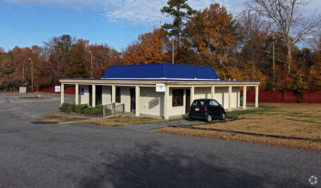
8335 Mcclure Cir
035-172-13
L3 M30-169
Commercialnec
MECKLENBURG
B1SCD
North Carolina
B and X Area of moderate flood hazard, usually the area between the limits of the 100-year and 500-year floods.
3
2024
6.35 AC
2025
Northwest Charlotte
006110
Charlotte
48,889 SF
Charlotte-Concord-Gastonia, NC-SC
NEARBY LISTINGS FOR SALE OR LEASE
DEMOGRAPHICS near 8335 Mcclure Cir
1 mile
3 mile
5 mile
2025 Total Population
5,432
50,824
121,132
2030 Population
5,877
55,386
131,696
Pop Growth 2025-2030
+ 8.19%
+ 8.98%
+ 8.72%
Average Age
38
37
38
2025 Total Households
1,896
18,273
43,912
HH Growth 2025-2030
+ 8.33%
+ 9.12%
+ 8.84%
Median Household Inc
$85,865
$83,897
$74,219
Avg Household Size
2.70
2.70
2.70
2025 Avg HH Vehicles
2.00
2.00
2.00
Median Home Value
$332,473
$337,615
$327,148
Median Year Built
1990
2000
1996
Nearby Places
Map Layers
Map Styles
 Street
 Aerial
Layers
 Traffic
 Biking
Places
Listings with unknown addresses are not visible on the map
- Restaurants
- Banks
- Shops
- Fitness
- Groceries
PUBLIC TRANSPORTATION
COMMUTER RAIL
Drive
Walk
Distance
15 min
9.0 mi
AIRPORT
Charlotte/Douglas International
Drive
Walk
Distance
Charlotte/Douglas International
21 min
7.9 mi
Concord-Padgett Regional
Drive
Walk
Distance
Concord-Padgett Regional
24 min
16.6 mi
Nearby Properties
Address
Land Use
TOTAL SIZE
Lot Size
Zoning
Address
Land Use
TOTAL SIZE
Lot Size
Zoning
15.94 AC
Address
Land Use
TOTAL SIZE
Lot Size
Zoning
282,374 SF
11.58 AC
Address
Land Use
TOTAL SIZE
Lot Size
Zoning
197,874 SF
11.71 AC
Address
Land Use
TOTAL SIZE
Lot Size
Zoning
226,973 SF
16.97 AC
R17MFCD
Address
Land Use
TOTAL SIZE
Lot Size
Zoning
214,824 SF
18.78 AC
R12MFCD
Address
Land Use
TOTAL SIZE
Lot Size
Zoning
450,580 SF
36.74 AC
I-2(CD)
Address
Land Use
TOTAL SIZE
Lot Size
Zoning
3,428 SF
13.21 AC
R-17MF
Address
Land Use
TOTAL SIZE
Lot Size
Zoning
346,795 SF
110.06 AC
I2
Address
Land Use
TOTAL SIZE
Lot Size
Zoning
89,113 SF
14.56 AC
R-3
Address
Land Use
TOTAL SIZE
Lot Size
Zoning
2,967 SF
9.01 AC
R-17MF
Address
Land Use
TOTAL SIZE
Lot Size
Zoning
401,879 SF
20.57 AC
I-1
Address
Land Use
TOTAL SIZE
Lot Size
Zoning
186,364 SF
18.43 AC
R-3
Address
Land Use
TOTAL SIZE
Lot Size
Zoning
273,455 SF
43.63 AC
I2
Address
Land Use
TOTAL SIZE
Lot Size
Zoning
960 SF
24.24 AC
CC
Address
Land Use
TOTAL SIZE
Lot Size
Zoning
136,318 SF
4.13 AC
I1
Address
Land Use
TOTAL SIZE
Lot Size
Zoning
80,799 SF
7.10 AC
NS
Address
Land Use
TOTAL SIZE
Lot Size
Zoning
Address
Land Use
TOTAL SIZE
Lot Size
Zoning
109,626 SF
164.43 AC
I2
Address
Land Use
TOTAL SIZE
Lot Size
Zoning
107,298 SF
8.71 AC
R17MF
Address
Land Use
TOTAL SIZE
Lot Size
Zoning
75,208 SF
15.55 AC
R-3
Address
Land Use
TOTAL SIZE
Lot Size
Zoning
14,942 SF
50.61 AC
I2
Address
Land Use
TOTAL SIZE
Lot Size
Zoning
58,553 SF
7.78 AC
B1CD
Address
Land Use
TOTAL SIZE
Lot Size
Zoning
63,651 SF
7.81 AC
B1CD
Address
Land Use
TOTAL SIZE
Lot Size
Zoning
40,822 SF
7.13 AC
B1
Address
Land Use
TOTAL SIZE
Lot Size
Zoning
41,414 SF
4.85 AC
CC
Address
Land Use
TOTAL SIZE
Lot Size
Zoning
78,660 SF
5.88 AC
O1CD
Address
Land Use
TOTAL SIZE
Lot Size
Zoning
65,721 SF
3.39 AC
I2
Address
Land Use
TOTAL SIZE
Lot Size
Zoning
101,187 SF
5.90 AC
B1CD
Address
Land Use
TOTAL SIZE
Lot Size
Zoning
20.02 AC
R-12MF(CD)
Address
Land Use
TOTAL SIZE
Lot Size
Zoning
11,490 SF
17.14 AC
R-4
The World's #1 Commercial Real Estate Marketplace
Connect with us
© 2026 CoStar Group
The information above has been obtained from sources believed reliable. While we do not doubt its accuracy we have not verified it and make no guarantee, warranty or representation about it. It is your responsibility to independently confirm its accuracy and completeness. Any projections, opinions, assumptions, or estimates used are for example only and do not represent the current or future performance of the property. The value of this transaction to you depends on tax and other factors which should be evaluated by your tax, financial, and legal advisors. You and your advisors should conduct a careful, independent investigation of the property to determine to your satisfaction the suitability of the property for your needs.