Property Record
8370 Camby Rd, Plainfield, IN 46168
NEARBY LISTINGS FOR SALE OR LEASE
Property Detail
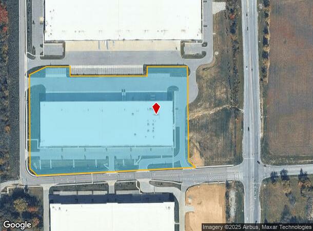
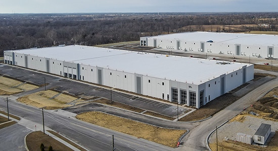
8370 Camby Rd
Indianapolis
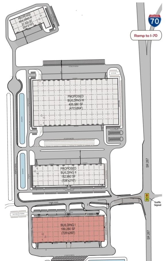
Plainfield Logistics Park Ii
Indianapolis-Carmel-Anderson, IN
PLAINFIELD LOGISTICS PARK II LOT-2 12.570AC DBA: HANZO LOGISTICS, AZENTA LIFE SCIENCES
32-15-12-305-001.000-012
Hendricks
Warehouse
Indiana
2024
12.57 AC
2024
Plainfield
210608
DEMOGRAPHICS near 8370 Camby Rd
1 Mile
3 Mile
5 Mile
2024 Total Population
1,584
21,110
70,412
2029 Population
1,746
23,160
75,999
Pop Growth 2024-2029
+ 10.23%
+ 9.71%
+ 7.93%
Average Age
43
40
39
2024 Total Households
571
7,352
26,073
HH Growth 2024-2029
+ 10.33%
+ 9.66%
+ 8.03%
Median Household Inc
$112,626
$80,874
$76,267
Avg Household Size
2.80
2.50
2.50
2024 Avg HH Vehicles
3.00
2.00
2.00
Median Home Value
$260,533
$225,399
$218,620
Median Year Built
1983
1982
1994
Nearby Places
Map Layers
Map Styles
 Street
 Aerial
- Restaurants
- Banks
- Shops
- Fitness
- Groceries
PUBLIC TRANSPORTATION
AIRPORT
Indianapolis International
DRIVE
WALK
Distance
Indianapolis International
13 min
6.2 mi
Freight Ports
Port of Toledo
DRIVE
WALK
Distance
Port of Toledo
291 min
241.2 mi
SALE & LEASE HISTORY
LISTING DATE
SALE/LEASE

Dec 05, 2019
For Lease
Nearby Properties
Address
Land Use
TOTAL SIZE
Lot Size
Zoning
Address
Land Use
TOTAL SIZE
Lot Size
Zoning
923,980 SF
60.08 AC
Address
Land Use
TOTAL SIZE
Lot Size
Zoning
822,500 SF
45.66 AC
Address
Land Use
TOTAL SIZE
Lot Size
Zoning
799,264 SF
43.44 AC
Address
Land Use
TOTAL SIZE
Lot Size
Zoning
750,820 SF
64.15 AC
Address
Land Use
TOTAL SIZE
Lot Size
Zoning
747,256 SF
41.32 AC
Address
Land Use
TOTAL SIZE
Lot Size
Zoning
650,960 SF
31.95 AC
Address
Land Use
TOTAL SIZE
Lot Size
Zoning
651,610 SF
63.52 AC
Address
Land Use
TOTAL SIZE
Lot Size
Zoning
292,315 SF
28.97 AC
Address
Land Use
TOTAL SIZE
Lot Size
Zoning
24.62 AC
Address
Land Use
TOTAL SIZE
Lot Size
Zoning
518,536 SF
25.66 AC
Address
Land Use
TOTAL SIZE
Lot Size
Zoning
551,424 SF
31.39 AC
Address
Land Use
TOTAL SIZE
Lot Size
Zoning
599,744 SF
34.65 AC
Address
Land Use
TOTAL SIZE
Lot Size
Zoning
595,100 SF
28.35 AC
Address
Land Use
TOTAL SIZE
Lot Size
Zoning
695,702 SF
39.68 AC
ZO03
Address
Land Use
TOTAL SIZE
Lot Size
Zoning
480,000 SF
40.60 AC
Address
Land Use
TOTAL SIZE
Lot Size
Zoning
462,275 SF
25.83 AC
ZO01
Address
Land Use
TOTAL SIZE
Lot Size
Zoning
500,000 SF
28.58 AC
Address
Land Use
TOTAL SIZE
Lot Size
Zoning
357,000 SF
27.34 AC
Address
Land Use
TOTAL SIZE
Lot Size
Zoning
476,720 SF
28.97 AC
Address
Land Use
TOTAL SIZE
Lot Size
Zoning
475,277 SF
29.61 AC
Address
Land Use
TOTAL SIZE
Lot Size
Zoning
442,201 SF
21.48 AC
Address
Land Use
TOTAL SIZE
Lot Size
Zoning
482,016 SF
26.70 AC
Address
Land Use
TOTAL SIZE
Lot Size
Zoning
448,625 SF
23.82 AC
Address
Land Use
TOTAL SIZE
Lot Size
Zoning
454,260 SF
29.55 AC
Address
Land Use
TOTAL SIZE
Lot Size
Zoning
426,088 SF
23.11 AC
Address
Land Use
TOTAL SIZE
Lot Size
Zoning
423,757 SF
28.71 AC
Address
Land Use
TOTAL SIZE
Lot Size
Zoning
465,480 SF
34.07 AC
Address
Land Use
TOTAL SIZE
Lot Size
Zoning
5,881 SF
17.35 AC
Address
Land Use
TOTAL SIZE
Lot Size
Zoning
401,751 SF
24.05 AC
Address
Land Use
TOTAL SIZE
Lot Size
Zoning
442,215 SF
24.69 AC
The World's #1 Commercial Real Estate Marketplace
Connect with us
© 2025 CoStar Group
The information above has been obtained from sources believed reliable. While we do not doubt its accuracy we have not verified it and make no guarantee, warranty or representation about it. It is your responsibility to independently confirm its accuracy and completeness. Any projections, opinions, assumptions, or estimates used are for example only and do not represent the current or future performance of the property. The value of this transaction to you depends on tax and other factors which should be evaluated by your tax, financial, and legal advisors. You and your advisors should conduct a careful, independent investigation of the property to determine to your satisfaction the suitability of the property for your needs.