Property Record
8395 W Se Regner Rd, Gresham, OR 97080
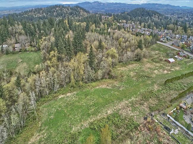

Property Detail
8395 W Se Regner Rd
R340889
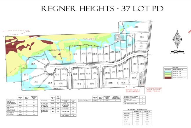
SECTION 21 1S 3E, TL 1500 0.01 ACRES
Residentialacreage
MULTNOMAH
CFU
Oregon
B and X Area of moderate flood hazard, usually the area between the limits of the 100-year and 500-year floods.
0.01 AC
0
Gresham
2025
Portland
009907
Portland-Vancouver-Hillsboro, OR-WA
NEARBY LISTINGS FOR SALE OR LEASE
-
-
-
-
-
No Photo
-
View all Gresham listings for sale on LoopNet.com
DEMOGRAPHICS near 8395 W Se Regner Rd
1 mile
3 mile
5 mile
2024 Total Population
2,647
54,227
202,284
2029 Population
2,640
53,371
200,128
Pop Growth 2024-2029
(0.26%)
(1.58%)
(1.07%)
Average Age
43
40
39
2024 Total Households
870
19,182
69,474
HH Growth 2024-2029
(0.80%)
(1.98%)
(1.41%)
Median Household Inc
$121,363
$77,170
$73,383
Avg Household Size
2.90
2.70
2.80
2024 Avg HH Vehicles
3.00
2.00
2.00
Median Home Value
$576,056
$444,881
$430,132
Median Year Built
1996
1985
1984
Nearby Places
Map Layers
Map Styles
 Street
 Aerial
Transit
 Traffic
 Biking
Places
Listings with unknown addresses are not visible on the map
- Restaurants
- Banks
- Shops
- Fitness
- Groceries
PUBLIC TRANSPORTATION
AIRPORT
Portland International
Drive
Walk
Distance
Portland International
31 min
17.2 mi
Freight Ports
Port of Portland
Drive
Walk
Distance
Port of Portland
37 min
20.3 mi
SALE & LEASE HISTORY
LISTING DATE
SALE/LEASE

Aug 22, 2018
For Sale
Apr 25, 2019
For Sale
Nearby Properties
Address
Land Use
TOTAL SIZE
Lot Size
Zoning
Address
Land Use
TOTAL SIZE
Lot Size
Zoning
3.20 AC
DEM
Address
Land Use
TOTAL SIZE
Lot Size
Zoning
75,850 SF
11.55 AC
LDR-5
Address
Land Use
TOTAL SIZE
Lot Size
Zoning
258,564 SF
20.56 AC
LDR7
Address
Land Use
TOTAL SIZE
Lot Size
Zoning
238,492 SF
13.10 AC
CMF
Address
Land Use
TOTAL SIZE
Lot Size
Zoning
222,022 SF
11.64 AC
CMF
Address
Land Use
TOTAL SIZE
Lot Size
Zoning
83,072 SF
9.58 AC
LDR-5
Address
Land Use
TOTAL SIZE
Lot Size
Zoning
235,728 SF
6.64 AC
MDR-24
Address
Land Use
TOTAL SIZE
Lot Size
Zoning
141,899 SF
13.51 AC
DMU
Address
Land Use
TOTAL SIZE
Lot Size
Zoning
87,429 SF
0.95 AC
DTM
Address
Land Use
TOTAL SIZE
Lot Size
Zoning
97,430 SF
13.91 AC
HI
Address
Land Use
TOTAL SIZE
Lot Size
Zoning
64,934 SF
9.89 AC
LDR-7
Address
Land Use
TOTAL SIZE
Lot Size
Zoning
188,870 SF
17.13 AC
CC
Address
Land Use
TOTAL SIZE
Lot Size
Zoning
199,805 SF
4.96 AC
MDR-24
Address
Land Use
TOTAL SIZE
Lot Size
Zoning
203,148 SF
8.58 AC
MDR-24
Address
Land Use
TOTAL SIZE
Lot Size
Zoning
187,027 SF
9.09 AC
MDR-24
Address
Land Use
TOTAL SIZE
Lot Size
Zoning
31.05 AC
MDR12
Address
Land Use
TOTAL SIZE
Lot Size
Zoning
60,530 SF
19.55 AC
LDR
Address
Land Use
TOTAL SIZE
Lot Size
Zoning
Address
Land Use
TOTAL SIZE
Lot Size
Zoning
103,090 SF
4.12 AC
CMF
Address
Land Use
TOTAL SIZE
Lot Size
Zoning
143,039 SF
8.02 AC
MDR24
Address
Land Use
TOTAL SIZE
Lot Size
Zoning
166,296 SF
8.80 AC
RM1
Address
Land Use
TOTAL SIZE
Lot Size
Zoning
121,428 SF
5.81 AC
CMF
Address
Land Use
TOTAL SIZE
Lot Size
Zoning
45,331 SF
5.25 AC
MDR24
Address
Land Use
TOTAL SIZE
Lot Size
Zoning
48,947 SF
6.55 AC
CUC
Address
Land Use
TOTAL SIZE
Lot Size
Zoning
1,963 SF
86.37 AC
IND-SW
Address
Land Use
TOTAL SIZE
Lot Size
Zoning
224,358 SF
5.63 AC
MDR24
Address
Land Use
TOTAL SIZE
Lot Size
Zoning
94,898 SF
10.58 AC
CC
Address
Land Use
TOTAL SIZE
Lot Size
Zoning
123,420 SF
7.06 AC
CMF
Address
Land Use
TOTAL SIZE
Lot Size
Zoning
70,320 SF
3.79 AC
MDR24
Address
Land Use
TOTAL SIZE
Lot Size
Zoning
57,050 SF
7.62 AC
DMU
The World's #1 Commercial Real Estate Marketplace
Connect with us
© 2026 CoStar Group
The information above has been obtained from sources believed reliable. While we do not doubt its accuracy we have not verified it and make no guarantee, warranty or representation about it. It is your responsibility to independently confirm its accuracy and completeness. Any projections, opinions, assumptions, or estimates used are for example only and do not represent the current or future performance of the property. The value of this transaction to you depends on tax and other factors which should be evaluated by your tax, financial, and legal advisors. You and your advisors should conduct a careful, independent investigation of the property to determine to your satisfaction the suitability of the property for your needs.