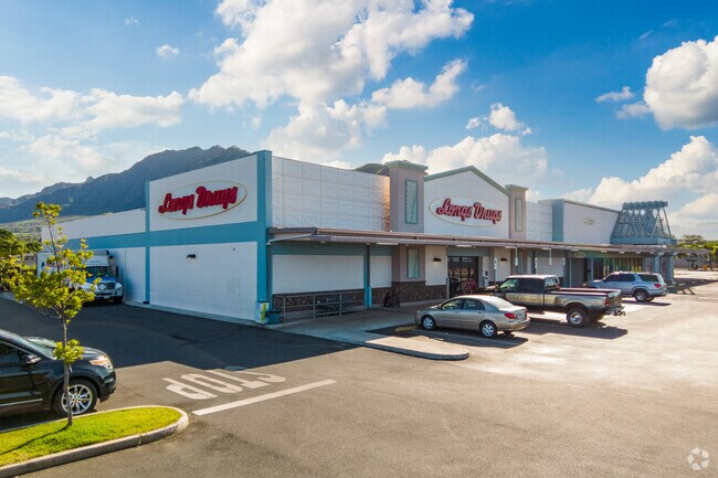
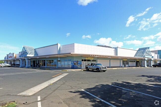
Property Record
84 Farrington Hwy, Waianae, HI 96792
NEARBY LISTINGS FOR SALE OR LEASE
Property Detail
84 Farrington Hwy
1-8-4-011-038-0002
Marketplace Unit Makaha Gateway Makai
Commercialnec
UNIT 0003 MAKAHA GATEWAY MAKAI CM 2394 UND 16.100% INT IN COMMON ELEMENTS
AE
Honolulu
15003C0183H
Hawaii
2024
1.02 AC
2025
Waianae
009804
Hawaii
23,010 SF
Urban Honolulu, HI
DEMOGRAPHICS near 84 Farrington Hwy
1 Mile
3 Mile
5 Mile
2024 Total Population
7,391
22,865
34,006
2029 Population
7,055
21,823
32,205
Pop Growth 2024-2029
(4.55%)
(4.56%)
(5.30%)
Average Age
37
38
37
2024 Total Households
2,060
5,985
8,555
HH Growth 2024-2029
(4.61%)
(4.63%)
(5.68%)
Median Household Inc
$48,567
$63,917
$76,350
Avg Household Size
3.30
3.20
3.40
2024 Avg HH Vehicles
2.00
2.00
2.00
Median Home Value
$540,568
$453,168
$496,479
Median Year Built
1976
1976
1977
Nearby Places
Map Layers
Map Styles
 Street
 Aerial
- Restaurants
- Banks
- Shops
- Fitness
- Groceries
PUBLIC TRANSPORTATION
AIRPORT
Daniel K Inouye International
DRIVE
WALK
Distance
Daniel K Inouye International
51 min
30.0 mi
Freight Ports
Honolulu Harbor, Oahu
DRIVE
WALK
Distance
Honolulu Harbor, Oahu
60 min
34.1 mi
SALE & LEASE HISTORY
LISTING DATE
SALE/LEASE

Sep 25, 2016
For Lease
Nearby Properties
Address
Land Use
TOTAL SIZE
Lot Size
Zoning
Address
Land Use
TOTAL SIZE
Lot Size
Zoning
89,685 SF
14.35 AC
B-2
Address
Land Use
TOTAL SIZE
Lot Size
Zoning
177,221 SF
11 AC
B-2
Address
Land Use
TOTAL SIZE
Lot Size
Zoning
63,315 SF
3.06 AC
B-2
Address
Land Use
TOTAL SIZE
Lot Size
Zoning
18.04 AC
I-2
Address
Land Use
TOTAL SIZE
Lot Size
Zoning
18,877 SF
1.72 AC
B-2
Address
Land Use
TOTAL SIZE
Lot Size
Zoning
12,600 SF
23.80 AC
P-2
Address
Land Use
TOTAL SIZE
Lot Size
Zoning
28,724 SF
19.43 AC
Resort
Address
Land Use
TOTAL SIZE
Lot Size
Zoning
81,920 SF
1.93 AC
B-2
Address
Land Use
TOTAL SIZE
Lot Size
Zoning
32.78 AC
Resort
Address
Land Use
TOTAL SIZE
Lot Size
Zoning
26,296 SF
145.40 AC
P-2
Address
Land Use
TOTAL SIZE
Lot Size
Zoning
24,958 SF
0.57 AC
R-5
Address
Land Use
TOTAL SIZE
Lot Size
Zoning
6,728 SF
26.03 AC
Resort
Address
Land Use
TOTAL SIZE
Lot Size
Zoning
14,204 SF
3.88 AC
P-2
Address
Land Use
TOTAL SIZE
Lot Size
Zoning
6,349 SF
2.69 AC
B-2
Address
Land Use
TOTAL SIZE
Lot Size
Zoning
14.06 AC
P-2
Address
Land Use
TOTAL SIZE
Lot Size
Zoning
167.09 AC
C/62/90
Address
Land Use
TOTAL SIZE
Lot Size
Zoning
8.48 AC
Resort
Address
Land Use
TOTAL SIZE
Lot Size
Zoning
61,200 SF
1.26 AC
B-2
Address
Land Use
TOTAL SIZE
Lot Size
Zoning
18,204 SF
1.27 AC
B-2
Address
Land Use
TOTAL SIZE
Lot Size
Zoning
880 SF
7.07 AC
AG-2
Address
Land Use
TOTAL SIZE
Lot Size
Zoning
7.69 AC
I-2
Address
Land Use
TOTAL SIZE
Lot Size
Zoning
12,788 SF
1.03 AC
B-2
Address
Land Use
TOTAL SIZE
Lot Size
Zoning
87.44 AC
U/62/90
Address
Land Use
TOTAL SIZE
Lot Size
Zoning
31,514 SF
1.03 AC
B-2
Address
Land Use
TOTAL SIZE
Lot Size
Zoning
18,416 SF
1.06 AC
B-2
Address
Land Use
TOTAL SIZE
Lot Size
Zoning
9,084 SF
0.97 AC
B-2
Address
Land Use
TOTAL SIZE
Lot Size
Zoning
1,728 SF
23.96 AC
P-1
Address
Land Use
TOTAL SIZE
Lot Size
Zoning
10,000 SF
18.90 AC
P-2
Address
Land Use
TOTAL SIZE
Lot Size
Zoning
17,568 SF
0.72 AC
B-2
Address
Land Use
TOTAL SIZE
Lot Size
Zoning
2.67 AC
I-2
The World's #1 Commercial Real Estate Marketplace
Connect with us
© 2025 CoStar Group
The information above has been obtained from sources believed reliable. While we do not doubt its accuracy we have not verified it and make no guarantee, warranty or representation about it. It is your responsibility to independently confirm its accuracy and completeness. Any projections, opinions, assumptions, or estimates used are for example only and do not represent the current or future performance of the property. The value of this transaction to you depends on tax and other factors which should be evaluated by your tax, financial, and legal advisors. You and your advisors should conduct a careful, independent investigation of the property to determine to your satisfaction the suitability of the property for your needs.