Property Record
8401 S 48Th St, Lincoln, NE 68516


NEARBY LISTINGS FOR SALE OR LEASE
-
-
View all Lincoln listings for sale on LoopNet.com
Property Detail
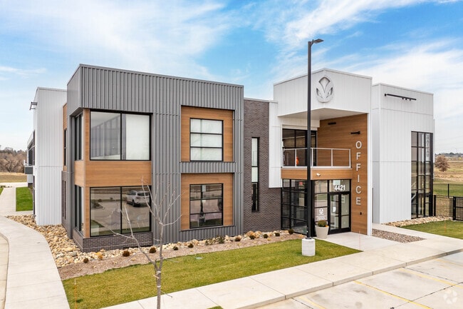
8401 S 48Th St
Lincoln, NE
Chateau Yankee Hill Addition
16-20-303-002-000
CHATEAU YANKEE HILL ADDITION, LOT 2
Commercialnec
Lancaster
X
Nebraska
31109C0432F
2
2024
4.57 AC
2025
South Lincoln
003715
Lincoln
188,540 SF
DEMOGRAPHICS near 8401 S 48Th St
1 Mile
3 Mile
5 Mile
2024 Total Population
7,692
55,550
113,461
2029 Population
7,962
57,433
117,306
Pop Growth 2024-2029
+ 3.51%
+ 3.39%
+ 3.39%
Average Age
40
39
40
2024 Total Households
2,956
22,123
46,537
HH Growth 2024-2029
+ 3.59%
+ 3.40%
+ 3.43%
Median Household Inc
$110,629
$94,708
$85,609
Avg Household Size
2.60
2.50
2.40
2024 Avg HH Vehicles
2.00
2.00
2.00
Median Home Value
$326,715
$298,925
$277,839
Median Year Built
2002
1995
1986
Nearby Places
Map Layers
Map Styles
 Street
 Aerial
- Restaurants
- Banks
- Shops
- Fitness
- Groceries
PUBLIC TRANSPORTATION
COMMUTER RAIL
Lincoln Amtrak Station (California Zephyr - Amtrak)
DRIVE
WALK
Distance
Lincoln Amtrak Station (California Zephyr - Amtrak)
17 min
8.8 mi
AIRPORT
Lincoln
DRIVE
WALK
Distance
Lincoln
22 min
14.0 mi
Freight Ports
Tulsa Port Of Catoosa
DRIVE
WALK
Distance
Tulsa Port Of Catoosa
461 min
387.0 mi
Nearby Properties
Address
Land Use
TOTAL SIZE
Lot Size
Zoning
Address
Land Use
TOTAL SIZE
Lot Size
Zoning
48,378 SF
9.53 AC
R5
Address
Land Use
TOTAL SIZE
Lot Size
Zoning
213,738 SF
14.97 AC
B5
Address
Land Use
TOTAL SIZE
Lot Size
Zoning
61,818 SF
12.38 AC
B5
Address
Land Use
TOTAL SIZE
Lot Size
Zoning
185,015 SF
38.72 AC
AGR
Address
Land Use
TOTAL SIZE
Lot Size
Zoning
17,070 SF
8.95 AC
R3
Address
Land Use
TOTAL SIZE
Lot Size
Zoning
75,371 SF
12.46 AC
R3
Address
Land Use
TOTAL SIZE
Lot Size
Zoning
126,172 SF
5.46 AC
B2
Address
Land Use
TOTAL SIZE
Lot Size
Zoning
172,989 SF
6.16 AC
Address
Land Use
TOTAL SIZE
Lot Size
Zoning
35,972 SF
10.13 AC
O3
Address
Land Use
TOTAL SIZE
Lot Size
Zoning
44,957 SF
7.93 AC
R4
Address
Land Use
TOTAL SIZE
Lot Size
Zoning
90,362 SF
2.53 AC
B3
Address
Land Use
TOTAL SIZE
Lot Size
Zoning
57,434 SF
15.62 AC
R4
Address
Land Use
TOTAL SIZE
Lot Size
Zoning
169,890 SF
3.05 AC
O3
Address
Land Use
TOTAL SIZE
Lot Size
Zoning
32,854 SF
22.09 AC
NULL
Address
Land Use
TOTAL SIZE
Lot Size
Zoning
81,149 SF
6.46 AC
R5
Address
Land Use
TOTAL SIZE
Lot Size
Zoning
22,324 SF
16.59 AC
NULL
Address
Land Use
TOTAL SIZE
Lot Size
Zoning
14,637 SF
18.90 AC
NULL
Address
Land Use
TOTAL SIZE
Lot Size
Zoning
16,284 SF
8.77 AC
NULL
Address
Land Use
TOTAL SIZE
Lot Size
Zoning
39,968 SF
13.41 AC
NULL
Address
Land Use
TOTAL SIZE
Lot Size
Zoning
67,029 SF
17.26 AC
R3
Address
Land Use
TOTAL SIZE
Lot Size
Zoning
129,038 SF
17.43 AC
O3
Address
Land Use
TOTAL SIZE
Lot Size
Zoning
63,298 SF
10.15 AC
R1
Address
Land Use
TOTAL SIZE
Lot Size
Zoning
78,993 SF
3.56 AC
H4
Address
Land Use
TOTAL SIZE
Lot Size
Zoning
68,764 SF
10.45 AC
R3
Address
Land Use
TOTAL SIZE
Lot Size
Zoning
22,650 SF
5.59 AC
R3
Address
Land Use
TOTAL SIZE
Lot Size
Zoning
149,431 SF
13.38 AC
O3
Address
Land Use
TOTAL SIZE
Lot Size
Zoning
71,860 SF
13.19 AC
R3
Address
Land Use
TOTAL SIZE
Lot Size
Zoning
45,057 SF
37.07 AC
NULL
Address
Land Use
TOTAL SIZE
Lot Size
Zoning
28,126 SF
7.27 AC
NULL
The World's #1 Commercial Real Estate Marketplace
Connect with us
© 2025 CoStar Group
The information above has been obtained from sources believed reliable. While we do not doubt its accuracy we have not verified it and make no guarantee, warranty or representation about it. It is your responsibility to independently confirm its accuracy and completeness. Any projections, opinions, assumptions, or estimates used are for example only and do not represent the current or future performance of the property. The value of this transaction to you depends on tax and other factors which should be evaluated by your tax, financial, and legal advisors. You and your advisors should conduct a careful, independent investigation of the property to determine to your satisfaction the suitability of the property for your needs.