Property Record
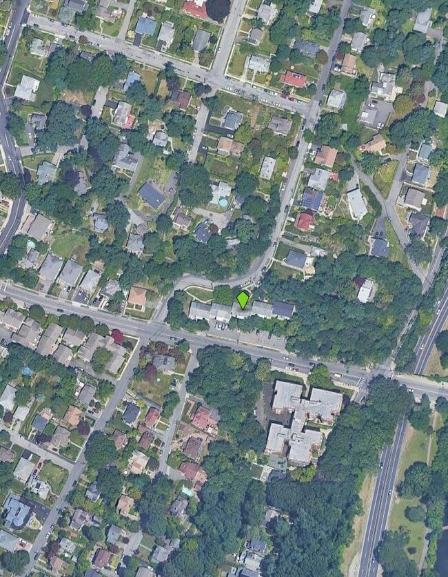
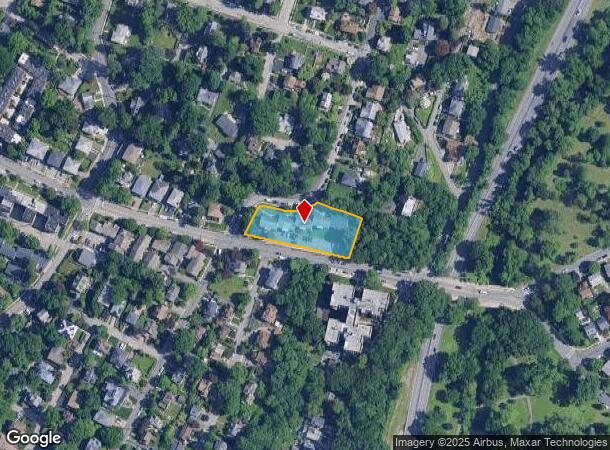
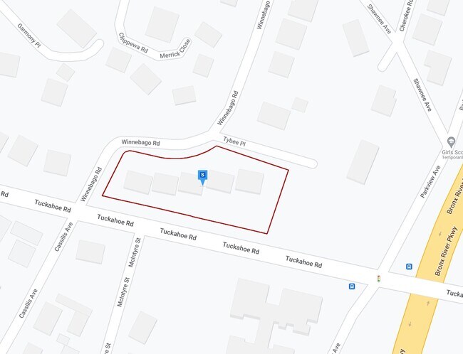
841 Tuckahoe Rd, Yonkers, NY 10710
NEARBY LISTINGS FOR SALE OR LEASE
Property Detail
841 Tuckahoe Rd
1800-004-000-04500-000-0001-12
Westchester
Apartment
New York
X
1.012
36119C0329F
0.79 AC
2025
Northeast Yonkers
2024
Westchester/So Connecticut
002000
New York-Jersey City-White Plains, NY-NJ
23,796 SF
DEMOGRAPHICS near 841 Tuckahoe Rd
1 Mile
3 Mile
5 Mile
2024 Total Population
29,210
218,631
586,150
2029 Population
28,785
212,711
564,285
Pop Growth 2024-2029
(1.45%)
(2.71%)
(3.73%)
Average Age
45
42
41
2024 Total Households
12,736
83,451
216,775
HH Growth 2024-2029
(1.58%)
(2.80%)
(3.85%)
Median Household Inc
$113,520
$97,749
$86,969
Avg Household Size
2.20
2.50
2.60
2024 Avg HH Vehicles
1.00
1.00
1.00
Median Home Value
$545,962
$560,605
$617,215
Median Year Built
1954
1952
1952
Nearby Places
Map Layers
Map Styles
 Street
 Aerial
- Restaurants
- Banks
- Shops
- Fitness
- Groceries
PUBLIC TRANSPORTATION
COMMUTER RAIL
Tuckahoe Station (Harlem Line - Metro-North Commuter Railroad Company (Metro-North))
DRIVE
WALK
Distance
Tuckahoe Station (Harlem Line - Metro-North Commuter Railroad Company (Metro-North))
1 min
10 min
0.5 mi
Bronxville Station (Harlem Line - Metro-North Commuter Railroad Company (Metro-North))
DRIVE
WALK
Distance
Bronxville Station (Harlem Line - Metro-North Commuter Railroad Company (Metro-North))
2 min
19 min
0.9 mi
AIRPORT
Westchester County
DRIVE
WALK
Distance
Westchester County
24 min
15.2 mi
LaGuardia
DRIVE
WALK
Distance
LaGuardia
30 min
17.5 mi
John F Kennedy International
DRIVE
WALK
Distance
John F Kennedy International
37 min
25.1 mi
Freight Ports
NY - Red Hook Container Terminal
DRIVE
WALK
Distance
NY - Red Hook Container Terminal
43 min
26.4 mi
Nearby Properties
Address
Land Use
TOTAL SIZE
Lot Size
Zoning
Address
Land Use
TOTAL SIZE
Lot Size
Zoning
18,000 SF
13.85 AC
A
Address
Land Use
TOTAL SIZE
Lot Size
Zoning
201,590 SF
4.13 AC
BA
Address
Land Use
TOTAL SIZE
Lot Size
Zoning
301,156 SF
13.94 AC
A
Address
Land Use
TOTAL SIZE
Lot Size
Zoning
70,737 SF
1.67 AC
BB
Address
Land Use
TOTAL SIZE
Lot Size
Zoning
64,165 SF
3.24 AC
B
Address
Land Use
TOTAL SIZE
Lot Size
Zoning
5,170 SF
9.08 AC
B
Address
Land Use
TOTAL SIZE
Lot Size
Zoning
Address
Land Use
TOTAL SIZE
Lot Size
Zoning
7,855 SF
1.10 AC
C
Address
Land Use
TOTAL SIZE
Lot Size
Zoning
136,050 SF
1.42 AC
PUD-1
Address
Land Use
TOTAL SIZE
Lot Size
Zoning
5.50 AC
R-20
Address
Land Use
TOTAL SIZE
Lot Size
Zoning
3.52 AC
CA
Address
Land Use
TOTAL SIZE
Lot Size
Zoning
29,405 SF
0.80 AC
A3
Address
Land Use
TOTAL SIZE
Lot Size
Zoning
Address
Land Use
TOTAL SIZE
Lot Size
Zoning
5.69 AC
CA
Address
Land Use
TOTAL SIZE
Lot Size
Zoning
122.38 AC
R-30
Address
Land Use
TOTAL SIZE
Lot Size
Zoning
12,093 SF
0.50 AC
A5
Address
Land Use
TOTAL SIZE
Lot Size
Zoning
36,413 SF
0.89 AC
A
Address
Land Use
TOTAL SIZE
Lot Size
Zoning
34,560 SF
0.28 AC
BA
Address
Land Use
TOTAL SIZE
Lot Size
Zoning
23,116 SF
1.82 AC
C
Address
Land Use
TOTAL SIZE
Lot Size
Zoning
5.19 AC
CA
Address
Land Use
TOTAL SIZE
Lot Size
Zoning
Address
Land Use
TOTAL SIZE
Lot Size
Zoning
7,771 SF
1.21 AC
A
Address
Land Use
TOTAL SIZE
Lot Size
Zoning
1,658 SF
3.28 AC
A
Address
Land Use
TOTAL SIZE
Lot Size
Zoning
36,000 SF
0.28 AC
BA
Address
Land Use
TOTAL SIZE
Lot Size
Zoning
15,132 SF
0.28 AC
A
Address
Land Use
TOTAL SIZE
Lot Size
Zoning
27,699 SF
0.74 AC
BA
Address
Land Use
TOTAL SIZE
Lot Size
Zoning
60,689 SF
0.35 AC
RA2
Address
Land Use
TOTAL SIZE
Lot Size
Zoning
66,549 SF
4.74 AC
OFF1
Address
Land Use
TOTAL SIZE
Lot Size
Zoning
41,910 SF
0.65 AC
C
Address
Land Use
TOTAL SIZE
Lot Size
Zoning
29,420 SF
0.97 AC
BA
The World's #1 Commercial Real Estate Marketplace
Connect with us
© 2025 CoStar Group
The information above has been obtained from sources believed reliable. While we do not doubt its accuracy we have not verified it and make no guarantee, warranty or representation about it. It is your responsibility to independently confirm its accuracy and completeness. Any projections, opinions, assumptions, or estimates used are for example only and do not represent the current or future performance of the property. The value of this transaction to you depends on tax and other factors which should be evaluated by your tax, financial, and legal advisors. You and your advisors should conduct a careful, independent investigation of the property to determine to your satisfaction the suitability of the property for your needs.