Property Record
842 W China Grade Loop, Bakersfield, CA 93308
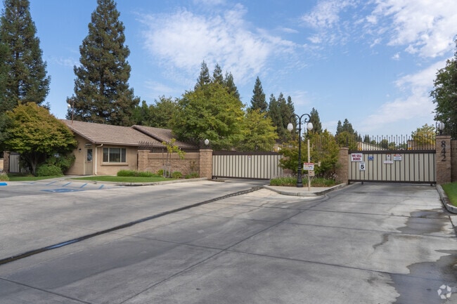

Property Detail
842 W China Grade Loop
491-011-42-00-2
SECTION 1 , TOWNSHIP 29 , RANGE 27 , QUARTER
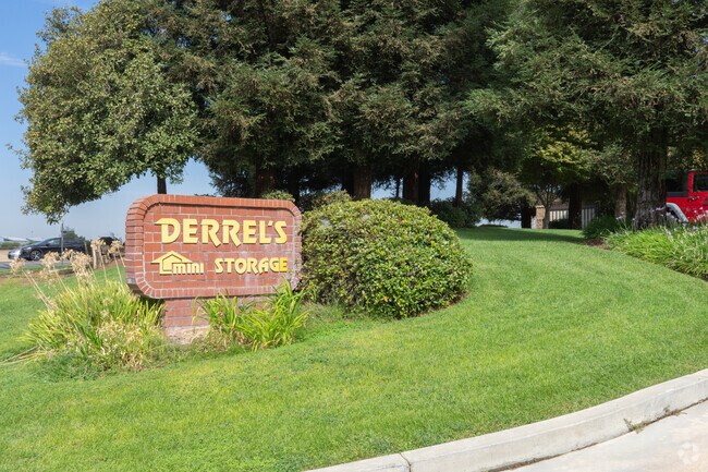
Publicstorage
KERN
C2
California
B and X Area of moderate flood hazard, usually the area between the limits of the 100-year and 500-year floods.
15.55 AC
2024
North Bakersfield
2025
Bakersfield
000105
Bakersfield-Delano, CA
138,000 SF
NEARBY LISTINGS FOR SALE OR LEASE
DEMOGRAPHICS near 842 W China Grade Loop
1 mile
3 mile
5 mile
2025 Total Population
15,441
56,888
152,859
2030 Population
15,725
57,770
154,665
Pop Growth 2025-2030
+ 1.84%
+ 1.55%
+ 1.18%
Average Age
35
37
36
2025 Total Households
5,444
20,708
52,551
HH Growth 2025-2030
+ 1.80%
+ 1.53%
+ 1.24%
Median Household Inc
$63,832
$54,757
$59,313
Avg Household Size
2.80
2.70
2.80
2025 Avg HH Vehicles
2.00
2.00
2.00
Median Home Value
$278,301
$311,698
$345,793
Median Year Built
1985
1976
1975
Nearby Places
Map Layers
Map Styles
 Street
 Aerial
Transit
 Traffic
 Biking
Places
Listings with unknown addresses are not visible on the map
- Restaurants
- Banks
- Shops
- Fitness
- Groceries
PUBLIC TRANSPORTATION
COMMUTER RAIL
Bakersfield (San Joaquins - Amtrak)
Drive
Walk
Distance
Bakersfield (San Joaquins - Amtrak)
10 min
5.5 mi
AIRPORT
Meadows Field
Drive
Walk
Distance
Meadows Field
11 min
3.3 mi
Freight Ports
The Port of Hueneme
Drive
Walk
Distance
The Port of Hueneme
157 min
125.8 mi
Nearby Properties
Address
Land Use
TOTAL SIZE
Lot Size
Zoning
Address
Land Use
TOTAL SIZE
Lot Size
Zoning
2,645,250 SF
64.24 AC
M-2 PD H
Address
Land Use
TOTAL SIZE
Lot Size
Zoning
85,971 SF
5.31 AC
C-2
Address
Land Use
TOTAL SIZE
Lot Size
Zoning
16.04 AC
NR
Address
Land Use
TOTAL SIZE
Lot Size
Zoning
112,849 SF
5.31 AC
C-2
Address
Land Use
TOTAL SIZE
Lot Size
Zoning
30,326 SF
19 AC
M3
Address
Land Use
TOTAL SIZE
Lot Size
Zoning
2,032 SF
11.08 AC
M3
Address
Land Use
TOTAL SIZE
Lot Size
Zoning
10,064 SF
13.44 AC
R3
Address
Land Use
TOTAL SIZE
Lot Size
Zoning
63,428 SF
5.18 AC
C-2
Address
Land Use
TOTAL SIZE
Lot Size
Zoning
41,394 SF
14.74 AC
Address
Land Use
TOTAL SIZE
Lot Size
Zoning
Address
Land Use
TOTAL SIZE
Lot Size
Zoning
2,129 SF
11.42 AC
M-2
Address
Land Use
TOTAL SIZE
Lot Size
Zoning
151,797 SF
4.42 AC
R3
Address
Land Use
TOTAL SIZE
Lot Size
Zoning
3,383 SF
19.40 AC
M-2
Address
Land Use
TOTAL SIZE
Lot Size
Zoning
8 AC
M-3
Address
Land Use
TOTAL SIZE
Lot Size
Zoning
72,726 SF
13.15 AC
M2
Address
Land Use
TOTAL SIZE
Lot Size
Zoning
54,960 SF
15.83 AC
M-2
Address
Land Use
TOTAL SIZE
Lot Size
Zoning
168,559 SF
5.34 AC
M-2
Address
Land Use
TOTAL SIZE
Lot Size
Zoning
37,784 SF
0.76 AC
PCD
Address
Land Use
TOTAL SIZE
Lot Size
Zoning
141,662 SF
9.39 AC
R-2
Address
Land Use
TOTAL SIZE
Lot Size
Zoning
154,142 SF
8.04 AC
C2
Address
Land Use
TOTAL SIZE
Lot Size
Zoning
55,215 SF
3.93 AC
C-2
Address
Land Use
TOTAL SIZE
Lot Size
Zoning
8.58 AC
M-3
Address
Land Use
TOTAL SIZE
Lot Size
Zoning
12,000 SF
11.90 AC
M-2 PD
Address
Land Use
TOTAL SIZE
Lot Size
Zoning
357,609 SF
21.80 AC
M2
Address
Land Use
TOTAL SIZE
Lot Size
Zoning
3,239 SF
32 AC
R1
Address
Land Use
TOTAL SIZE
Lot Size
Zoning
3,934 SF
8.58 AC
M-3
Address
Land Use
TOTAL SIZE
Lot Size
Zoning
226,463 SF
11.01 AC
R3
Address
Land Use
TOTAL SIZE
Lot Size
Zoning
2,542 SF
5 AC
M1
Address
Land Use
TOTAL SIZE
Lot Size
Zoning
7,196 SF
2.24 AC
Address
Land Use
TOTAL SIZE
Lot Size
Zoning
97,493 SF
5.25 AC
C2
The World's #1 Commercial Real Estate Marketplace
Connect with us
© 2026 CoStar Group
The information above has been obtained from sources believed reliable. While we do not doubt its accuracy we have not verified it and make no guarantee, warranty or representation about it. It is your responsibility to independently confirm its accuracy and completeness. Any projections, opinions, assumptions, or estimates used are for example only and do not represent the current or future performance of the property. The value of this transaction to you depends on tax and other factors which should be evaluated by your tax, financial, and legal advisors. You and your advisors should conduct a careful, independent investigation of the property to determine to your satisfaction the suitability of the property for your needs.