Property Record
8440 Placida Rd, Placida, FL 33946


NEARBY LISTINGS FOR SALE OR LEASE
Property Detail
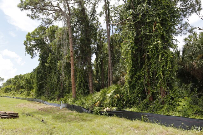
8440 Placida Rd
412034351001
34 41 20 P-6 10A M/L TRACT 18 BEG SW CORNER SEC 34 N ALG W SEC LINE 530FT FOR POB CONT N ALG SEC LINE 1880FT M/L TO S ROW SR775 SELY 500FT M/L S PAR TO SEC LINE 1860FT TO S SEC LINE NE ALG IC W/W TO POB P6 1096/1041 DC3132/2072-JWK 3132/2073
Residentialacreage
Charlotte
AE
Florida
12015C0356G
10 AC
2024
Charlotte County
2025
Southwest Florida
030402
Punta Gorda, FL
DEMOGRAPHICS near 8440 Placida Rd
1 Mile
3 Mile
5 Mile
2024 Total Population
1,827
9,409
30,311
2029 Population
2,222
11,434
36,951
Pop Growth 2024-2029
+ 21.62%
+ 21.52%
+ 21.91%
Average Age
63
60
59
2024 Total Households
1,028
4,877
15,025
HH Growth 2024-2029
+ 21.89%
+ 21.71%
+ 22.12%
Median Household Inc
$56,288
$54,666
$60,343
Avg Household Size
1.80
1.90
2.00
2024 Avg HH Vehicles
1.00
2.00
2.00
Median Home Value
$293,670
$275,722
$286,799
Median Year Built
1988
1988
1994
Nearby Places
Map Layers
Map Styles
 Street
 Aerial
- Restaurants
- Banks
- Shops
- Fitness
- Groceries
PUBLIC TRANSPORTATION
AIRPORT
Punta Gorda
DRIVE
WALK
Distance
Punta Gorda
51 min
30.9 mi
Freight Ports
Port Manatee
DRIVE
WALK
Distance
Port Manatee
84 min
61.4 mi
SALE & LEASE HISTORY
LISTING DATE
SALE/LEASE

Aug 21, 2017
For Sale
Nearby Properties
Address
Land Use
TOTAL SIZE
Lot Size
Zoning
Address
Land Use
TOTAL SIZE
Lot Size
Zoning
2,387.99 AC
ES
Address
Land Use
TOTAL SIZE
Lot Size
Zoning
105,990 SF
17.30 AC
RMF15
Address
Land Use
TOTAL SIZE
Lot Size
Zoning
70,336 SF
29.71 AC
II
Address
Land Use
TOTAL SIZE
Lot Size
Zoning
38,036 SF
9.09 AC
RMF15
Address
Land Use
TOTAL SIZE
Lot Size
Zoning
32,041 SF
202.06 AC
CT
Address
Land Use
TOTAL SIZE
Lot Size
Zoning
101,160 SF
2.39 AC
CG
Address
Land Use
TOTAL SIZE
Lot Size
Zoning
25,685 SF
126.18 AC
RMF-T
Address
Land Use
TOTAL SIZE
Lot Size
Zoning
55,760 SF
3.18 AC
CG
Address
Land Use
TOTAL SIZE
Lot Size
Zoning
14.21 AC
II
Address
Land Use
TOTAL SIZE
Lot Size
Zoning
324 SF
11.52 AC
CT
Address
Land Use
TOTAL SIZE
Lot Size
Zoning
40,376 SF
11.18 AC
CG
Address
Land Use
TOTAL SIZE
Lot Size
Zoning
24,708 SF
14.89 AC
CT
Address
Land Use
TOTAL SIZE
Lot Size
Zoning
3,935 SF
36.92 AC
RMF10
Address
Land Use
TOTAL SIZE
Lot Size
Zoning
50,080 SF
5.09 AC
CG
Address
Land Use
TOTAL SIZE
Lot Size
Zoning
15.79 AC
CT
Address
Land Use
TOTAL SIZE
Lot Size
Zoning
5.61 AC
II
Address
Land Use
TOTAL SIZE
Lot Size
Zoning
25,130 SF
21.98 AC
RE1
Address
Land Use
TOTAL SIZE
Lot Size
Zoning
27,501 SF
3.82 AC
CG
Address
Land Use
TOTAL SIZE
Lot Size
Zoning
20,160 SF
3.04 AC
CG
Address
Land Use
TOTAL SIZE
Lot Size
Zoning
5,980 SF
0.40 AC
BBI
Address
Land Use
TOTAL SIZE
Lot Size
Zoning
15,190 SF
154.40 AC
RSF5
Address
Land Use
TOTAL SIZE
Lot Size
Zoning
8.47 AC
RMF10
Address
Land Use
TOTAL SIZE
Lot Size
Zoning
33.01 AC
CG
Address
Land Use
TOTAL SIZE
Lot Size
Zoning
18.62 AC
RMF15
Address
Land Use
TOTAL SIZE
Lot Size
Zoning
25,827 SF
9.34 AC
RMF15
Address
Land Use
TOTAL SIZE
Lot Size
Zoning
7.86 AC
CG
Address
Land Use
TOTAL SIZE
Lot Size
Zoning
6,959 SF
1.13 AC
CG
Address
Land Use
TOTAL SIZE
Lot Size
Zoning
16,017 SF
169.47 AC
RSF5
Address
Land Use
TOTAL SIZE
Lot Size
Zoning
58,000 SF
7.85 AC
CG
The World's #1 Commercial Real Estate Marketplace
Connect with us
© 2026 CoStar Group
The information above has been obtained from sources believed reliable. While we do not doubt its accuracy we have not verified it and make no guarantee, warranty or representation about it. It is your responsibility to independently confirm its accuracy and completeness. Any projections, opinions, assumptions, or estimates used are for example only and do not represent the current or future performance of the property. The value of this transaction to you depends on tax and other factors which should be evaluated by your tax, financial, and legal advisors. You and your advisors should conduct a careful, independent investigation of the property to determine to your satisfaction the suitability of the property for your needs.