Property Record
8448 A1a S, Saint Augustine, FL 32080


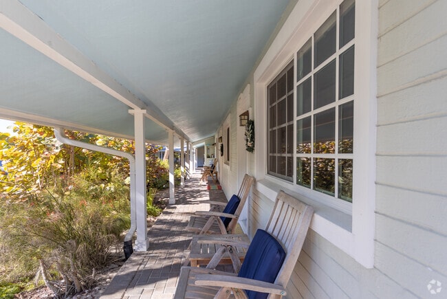
Property Detail
8448 A1a S
186510-0000
8-11 NORTH MATANZAS SHORES LOT 24 (EX PARCEL B IN OR3886/1076) OR3639/569
Residentialacreage
ST. JOHNS
RS2
Florida
AE The base floodplain where base flood elevations are provided. AE Zones are now used on new format FIRMs instead of A1-A30 Zones.
24
2025
0.52 AC
2026
Jacksonville Beaches
021209
Jacksonville (Florida)
4,866 SF
Jacksonville, FL
NEARBY LISTINGS FOR SALE OR LEASE
-
-
View all Saint Augustine listings for sale on LoopNet.com
DEMOGRAPHICS near 8448 A1a S
1 mile
3 mile
5 mile
2025 Total Population
1,519
3,055
8,240
2030 Population
1,868
3,755
9,986
Pop Growth 2025-2030
+ 22.98%
+ 22.91%
+ 21.19%
Average Age
55
55
54
2025 Total Households
738
1,509
3,932
HH Growth 2025-2030
+ 23.71%
+ 23.53%
+ 21.80%
Median Household Inc
$128,535
$116,395
$90,645
Avg Household Size
2.00
2.00
2.00
2025 Avg HH Vehicles
2.00
2.00
2.00
Median Home Value
$616,771
$661,873
$641,631
Median Year Built
1987
1984
1988
Nearby Places
Map Layers
Map Styles
 Street
 Aerial
Transit
 Traffic
 Biking
Places
Listings with unknown addresses are not visible on the map
- Restaurants
- Banks
- Shops
- Fitness
- Groceries
Nearby Properties
Address
Land Use
TOTAL SIZE
Lot Size
Zoning
Address
Land Use
TOTAL SIZE
Lot Size
Zoning
55.11 AC
OR
Address
Land Use
TOTAL SIZE
Lot Size
Zoning
10,178 SF
1.44 AC
CHT/R3
Address
Land Use
TOTAL SIZE
Lot Size
Zoning
6,464 SF
0.80 AC
RS2
Address
Land Use
TOTAL SIZE
Lot Size
Zoning
6,738 SF
16.19 AC
OR
Address
Land Use
TOTAL SIZE
Lot Size
Zoning
6,750 SF
0.84 AC
RS2
Address
Land Use
TOTAL SIZE
Lot Size
Zoning
7,122 SF
1.01 AC
OR
Address
Land Use
TOTAL SIZE
Lot Size
Zoning
4,988 SF
0.79 AC
RS2
Address
Land Use
TOTAL SIZE
Lot Size
Zoning
4,104 SF
0.79 AC
RS2
Address
Land Use
TOTAL SIZE
Lot Size
Zoning
4,331 SF
0.87 AC
RS2
Address
Land Use
TOTAL SIZE
Lot Size
Zoning
6,943 SF
1.87 AC
RS2
Address
Land Use
TOTAL SIZE
Lot Size
Zoning
4,824 SF
30 AC
OR
Address
Land Use
TOTAL SIZE
Lot Size
Zoning
1,800 SF
2.93 AC
CHT
Address
Land Use
TOTAL SIZE
Lot Size
Zoning
2,232 SF
1.26 AC
RS2
Address
Land Use
TOTAL SIZE
Lot Size
Zoning
597 AC
OR
Address
Land Use
TOTAL SIZE
Lot Size
Zoning
1.78 AC
RS2
Address
Land Use
TOTAL SIZE
Lot Size
Zoning
2,548 SF
1.04 AC
RS2
Address
Land Use
TOTAL SIZE
Lot Size
Zoning
0.85 AC
RS2
Address
Land Use
TOTAL SIZE
Lot Size
Zoning
0.95 AC
RS2
Address
Land Use
TOTAL SIZE
Lot Size
Zoning
0.76 AC
RS2
Address
Land Use
TOTAL SIZE
Lot Size
Zoning
1,665 SF
0.77 AC
RS2
Address
Land Use
TOTAL SIZE
Lot Size
Zoning
0.80 AC
RS2
Address
Land Use
TOTAL SIZE
Lot Size
Zoning
0.87 AC
OR
Address
Land Use
TOTAL SIZE
Lot Size
Zoning
1.18 AC
RS2
Address
Land Use
TOTAL SIZE
Lot Size
Zoning
501 AC
OR
Address
Land Use
TOTAL SIZE
Lot Size
Zoning
1.14 AC
RS2
Address
Land Use
TOTAL SIZE
Lot Size
Zoning
515 AC
OR
Address
Land Use
TOTAL SIZE
Lot Size
Zoning
4,374 SF
0.72 AC
RS3
Address
Land Use
TOTAL SIZE
Lot Size
Zoning
479.21 AC
OR
Address
Land Use
TOTAL SIZE
Lot Size
Zoning
896 SF
1.59 AC
RS2
Address
Land Use
TOTAL SIZE
Lot Size
Zoning
501 AC
OR
The World's #1 Commercial Real Estate Marketplace
Connect with us
© 2026 CoStar Group
The information above has been obtained from sources believed reliable. While we do not doubt its accuracy we have not verified it and make no guarantee, warranty or representation about it. It is your responsibility to independently confirm its accuracy and completeness. Any projections, opinions, assumptions, or estimates used are for example only and do not represent the current or future performance of the property. The value of this transaction to you depends on tax and other factors which should be evaluated by your tax, financial, and legal advisors. You and your advisors should conduct a careful, independent investigation of the property to determine to your satisfaction the suitability of the property for your needs.