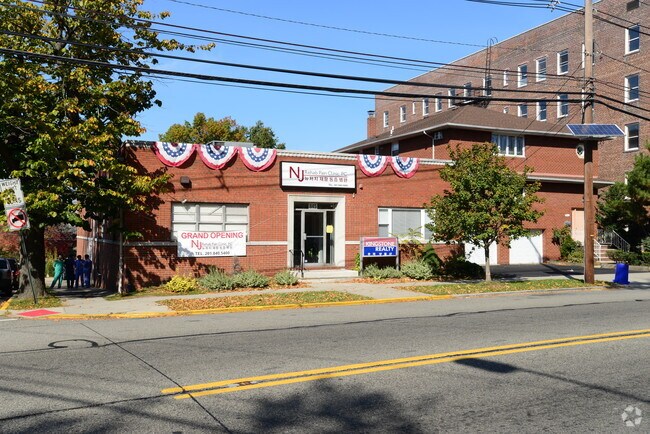
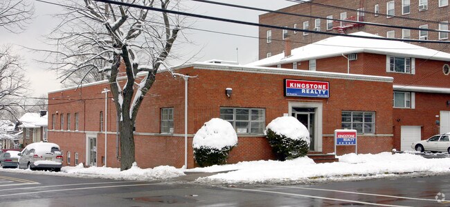
Property Record
845 Broad Ave, Ridgefield, NJ 07657

NEARBY LISTINGS FOR SALE OR LEASE
Property Detail
845 Broad Ave
49-00402-0000-00013
50X114 IRR 25,26
Commercialnec
Bergen
X
New Jersey
34003C0259H
13
2024
0.18 AC
2025
GW Bridge
045200
Northern New Jersey
7,695 SF
New York-Jersey City-White Plains, NY-NJ
DEMOGRAPHICS near 845 Broad Ave
1 Mile
3 Mile
5 Mile
2024 Total Population
27,757
251,352
1,489,540
2029 Population
26,826
245,129
1,404,373
Pop Growth 2024-2029
(3.35%)
(2.48%)
(5.72%)
Average Age
41
42
41
2024 Total Households
9,979
98,651
600,886
HH Growth 2024-2029
(3.40%)
(2.29%)
(6.07%)
Median Household Inc
$78,878
$83,243
$63,678
Avg Household Size
2.70
2.40
2.30
2024 Avg HH Vehicles
2.00
1.00
1.00
Median Home Value
$616,812
$484,902
$623,178
Median Year Built
1964
1961
1953
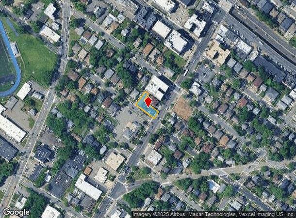
Nearby Places
Map Layers
Map Styles
 Street
 Aerial
- Restaurants
- Banks
- Shops
- Fitness
- Groceries
PUBLIC TRANSPORTATION
COMMUTER RAIL
Teterboro (Pascack Valley Line - NJ Transit Commuter Rail (NJ Transit))
DRIVE
WALK
Distance
Teterboro (Pascack Valley Line - NJ Transit Commuter Rail (NJ Transit))
7 min
3.7 mi
Essex Street (Pascack Valley Line - NJ Transit Commuter Rail (NJ Transit))
DRIVE
WALK
Distance
Essex Street (Pascack Valley Line - NJ Transit Commuter Rail (NJ Transit))
8 min
4.2 mi
AIRPORT
LaGuardia
DRIVE
WALK
Distance
LaGuardia
25 min
13.8 mi
Newark Liberty International
DRIVE
WALK
Distance
Newark Liberty International
20 min
15.4 mi
John F Kennedy International
DRIVE
WALK
Distance
John F Kennedy International
39 min
24.9 mi
Freight Ports
NY - Red Hook Container Terminal
DRIVE
WALK
Distance
NY - Red Hook Container Terminal
31 min
16.0 mi
Nearby Properties
Address
Land Use
TOTAL SIZE
Lot Size
Zoning
Address
Land Use
TOTAL SIZE
Lot Size
Zoning
Address
Land Use
TOTAL SIZE
Lot Size
Zoning
174 AC
P2
Address
Land Use
TOTAL SIZE
Lot Size
Zoning
26.93 AC
R8
Address
Land Use
TOTAL SIZE
Lot Size
Zoning
35.58 AC
I
Address
Land Use
TOTAL SIZE
Lot Size
Zoning
4.87 AC
R11
Address
Land Use
TOTAL SIZE
Lot Size
Zoning
7.64 AC
Address
Land Use
TOTAL SIZE
Lot Size
Zoning
Address
Land Use
TOTAL SIZE
Lot Size
Zoning
45.60 AC
Address
Land Use
TOTAL SIZE
Lot Size
Zoning
2.61 AC
D5
Address
Land Use
TOTAL SIZE
Lot Size
Zoning
478,842 SF
3.56 AC
C6-1
Address
Land Use
TOTAL SIZE
Lot Size
Zoning
20.07 AC
H
Address
Land Use
TOTAL SIZE
Lot Size
Zoning
3.60 AC
OR1
Address
Land Use
TOTAL SIZE
Lot Size
Zoning
23.12 AC
PARK
Address
Land Use
TOTAL SIZE
Lot Size
Zoning
489 SF
1.24 AC
B2A
Address
Land Use
TOTAL SIZE
Lot Size
Zoning
13.09 AC
Address
Land Use
TOTAL SIZE
Lot Size
Zoning
555 SF
32 AC
H
Address
Land Use
TOTAL SIZE
Lot Size
Zoning
1,390,324 SF
6.87 AC
R8
Address
Land Use
TOTAL SIZE
Lot Size
Zoning
3.75 AC
Address
Land Use
TOTAL SIZE
Lot Size
Zoning
26 AC
H
Address
Land Use
TOTAL SIZE
Lot Size
Zoning
42.68 AC
P1
Address
Land Use
TOTAL SIZE
Lot Size
Zoning
13.09 AC
C3
Address
Land Use
TOTAL SIZE
Lot Size
Zoning
3.62 AC
R5
Address
Land Use
TOTAL SIZE
Lot Size
Zoning
2 AC
R11
Address
Land Use
TOTAL SIZE
Lot Size
Zoning
2.55 AC
D5
Address
Land Use
TOTAL SIZE
Lot Size
Zoning
5.87 AC
R10
Address
Land Use
TOTAL SIZE
Lot Size
Zoning
Address
Land Use
TOTAL SIZE
Lot Size
Zoning
517,876 SF
1.83 AC
C6-1
Address
Land Use
TOTAL SIZE
Lot Size
Zoning
4.89 AC
R10
Address
Land Use
TOTAL SIZE
Lot Size
Zoning
3.20 AC
R5
Address
Land Use
TOTAL SIZE
Lot Size
Zoning
1.20 AC
R1
The World's #1 Commercial Real Estate Marketplace
Connect with us
© 2025 CoStar Group
The information above has been obtained from sources believed reliable. While we do not doubt its accuracy we have not verified it and make no guarantee, warranty or representation about it. It is your responsibility to independently confirm its accuracy and completeness. Any projections, opinions, assumptions, or estimates used are for example only and do not represent the current or future performance of the property. The value of this transaction to you depends on tax and other factors which should be evaluated by your tax, financial, and legal advisors. You and your advisors should conduct a careful, independent investigation of the property to determine to your satisfaction the suitability of the property for your needs.