Property Record
845 Dodd Rd, Saint Paul, MN 55118


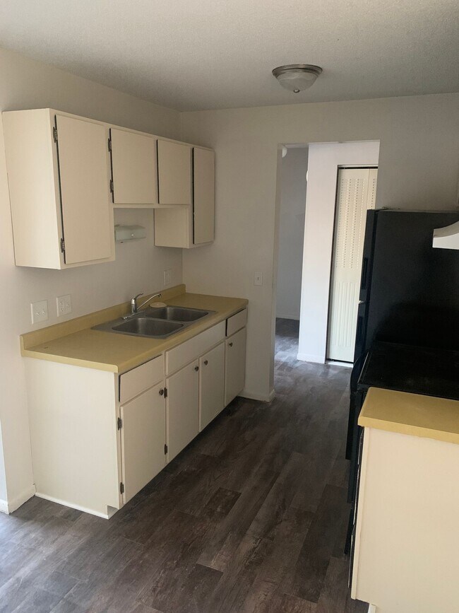
Property Detail
845 Dodd Rd
Minneapolis-St. Paul-Bloomington, MN-WI
SECTION 7 TWN 28 RANGE 22 7 28 22 PT OF SW 1/4 OF SE 1/4 COM 111.67 FT N OF SW COR NE ON N LINE DODD RD 437 FT TO BEG CONT NE ON RD R/W 242.2 FT N 41D40M W 140.75 FT TO S LINE BLK 4 CROWLEYS ADD W ON S LINE CROWLEYS ADD 55 FT S 39.77 FT S 50D20M W 16
42-00700-78-013
Dakota
Apartment
Minnesota
B and X Area of moderate flood hazard, usually the area between the limits of the 100-year and 500-year floods.
13
2025
0.85 AC
2025
South St Paul
060102
Minneapolis/St Paul
17,580 SF
NEARBY LISTINGS FOR SALE OR LEASE
DEMOGRAPHICS near 845 Dodd Rd
1 mile
3 mile
5 mile
2025 Total Population
17,858
117,639
331,364
2030 Population
17,953
118,759
331,847
Pop Growth 2025-2030
+ 0.53%
+ 0.95%
+ 0.15%
Average Age
38
40
38
2025 Total Households
6,893
51,497
131,832
HH Growth 2025-2030
+ 0.55%
+ 1.04%
+ 0.26%
Median Household Inc
$93,555
$76,651
$75,223
Avg Household Size
2.50
2.20
2.40
2025 Avg HH Vehicles
2.00
1.00
2.00
Median Home Value
$278,401
$312,548
$305,399
Median Year Built
1949
1959
1958
Nearby Places
Map Layers
Map Styles
 Street
 Aerial
Layers
 Traffic
 Biking
Places
Listings with unknown addresses are not visible on the map
- Restaurants
- Banks
- Shops
- Fitness
- Groceries
PUBLIC TRANSPORTATION
COMMUTER RAIL
St. Paul-Minneapolis (Empire Builder - Amtrak)
Drive
Walk
Distance
St. Paul-Minneapolis (Empire Builder - Amtrak)
7 min
2.9 mi
AIRPORT
Minneapolis-St Paul International/Wold-Chamberlain
Drive
Walk
Distance
Minneapolis-St Paul International/Wold-Chamberlain
16 min
9.2 mi
Freight Ports
Port Milwaukee
Drive
Walk
Distance
Port Milwaukee
368 min
331.6 mi
Nearby Properties
Address
Land Use
TOTAL SIZE
Lot Size
Zoning
Address
Land Use
TOTAL SIZE
Lot Size
Zoning
384,515 SF
18.04 AC
Address
Land Use
TOTAL SIZE
Lot Size
Zoning
384,515 SF
1.33 AC
Address
Land Use
TOTAL SIZE
Lot Size
Zoning
582,896 SF
14 AC
Address
Land Use
TOTAL SIZE
Lot Size
Zoning
825,463 SF
7.04 AC
Address
Land Use
TOTAL SIZE
Lot Size
Zoning
63.12 AC
Address
Land Use
TOTAL SIZE
Lot Size
Zoning
646,900 SF
7.66 AC
Address
Land Use
TOTAL SIZE
Lot Size
Zoning
32,854 SF
5.55 AC
Address
Land Use
TOTAL SIZE
Lot Size
Zoning
408.23 AC
Address
Land Use
TOTAL SIZE
Lot Size
Zoning
420,177 SF
2.13 AC
Address
Land Use
TOTAL SIZE
Lot Size
Zoning
516,325 SF
16.81 AC
Address
Land Use
TOTAL SIZE
Lot Size
Zoning
759,622 SF
2.66 AC
Address
Land Use
TOTAL SIZE
Lot Size
Zoning
786,042 SF
2.10 AC
Address
Land Use
TOTAL SIZE
Lot Size
Zoning
643,305 SF
1.93 AC
Address
Land Use
TOTAL SIZE
Lot Size
Zoning
7.41 AC
Address
Land Use
TOTAL SIZE
Lot Size
Zoning
793,465 SF
1.93 AC
Address
Land Use
TOTAL SIZE
Lot Size
Zoning
160,800 SF
5.05 AC
Address
Land Use
TOTAL SIZE
Lot Size
Zoning
393,443 SF
3.75 AC
Address
Land Use
TOTAL SIZE
Lot Size
Zoning
329,070 SF
5.75 AC
Address
Land Use
TOTAL SIZE
Lot Size
Zoning
173.22 AC
Address
Land Use
TOTAL SIZE
Lot Size
Zoning
260,739 SF
3.04 AC
Address
Land Use
TOTAL SIZE
Lot Size
Zoning
445,437 SF
7.80 AC
Address
Land Use
TOTAL SIZE
Lot Size
Zoning
265,736 SF
6.67 AC
Address
Land Use
TOTAL SIZE
Lot Size
Zoning
3.13 AC
Address
Land Use
TOTAL SIZE
Lot Size
Zoning
207.61 AC
Address
Land Use
TOTAL SIZE
Lot Size
Zoning
364,480 SF
8.33 AC
Address
Land Use
TOTAL SIZE
Lot Size
Zoning
444,819 SF
0.86 AC
Address
Land Use
TOTAL SIZE
Lot Size
Zoning
290,482 SF
1.46 AC
Address
Land Use
TOTAL SIZE
Lot Size
Zoning
401,435 SF
1.92 AC
Address
Land Use
TOTAL SIZE
Lot Size
Zoning
343,308 SF
2.90 AC
Address
Land Use
TOTAL SIZE
Lot Size
Zoning
406,352 SF
1.52 AC
The World's #1 Commercial Real Estate Marketplace
Connect with us
© 2026 CoStar Group
The information above has been obtained from sources believed reliable. While we do not doubt its accuracy we have not verified it and make no guarantee, warranty or representation about it. It is your responsibility to independently confirm its accuracy and completeness. Any projections, opinions, assumptions, or estimates used are for example only and do not represent the current or future performance of the property. The value of this transaction to you depends on tax and other factors which should be evaluated by your tax, financial, and legal advisors. You and your advisors should conduct a careful, independent investigation of the property to determine to your satisfaction the suitability of the property for your needs.