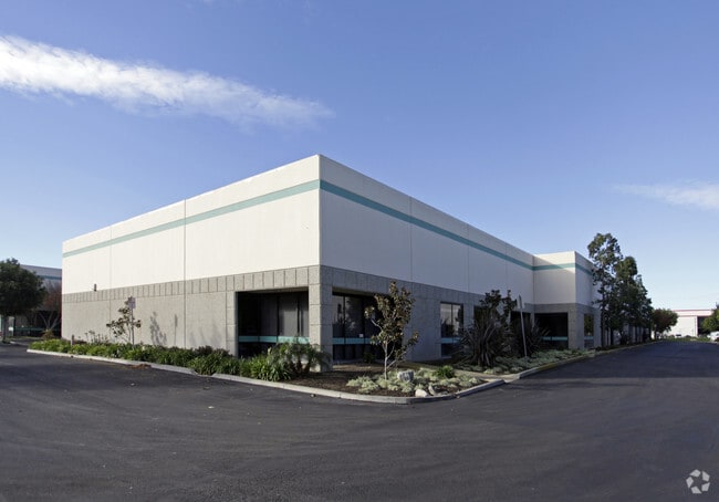
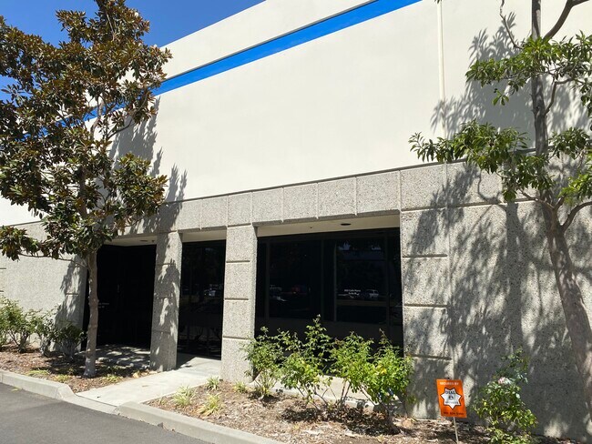
Property Record
850 Calle Plano, Camarillo, CA 93012

NEARBY LISTINGS FOR SALE OR LEASE
Property Detail
850 Calle Plano
234-0-040-490
Rancho Calleguas
Industrialgeneral
REF: 17 RM 16
AE
Ventura
06111C0934E
California
2024
5.76 AC
2025
Central Ventura
005602
Los Angeles
204 SF
Oxnard-Thousand Oaks-Ventura, CA
DEMOGRAPHICS near 850 Calle Plano
1 Mile
3 Mile
5 Mile
2024 Total Population
1,629
53,730
104,637
2029 Population
1,616
52,957
103,091
Pop Growth 2024-2029
(0.80%)
(1.44%)
(1.48%)
Average Age
46
43
42
2024 Total Households
643
19,485
37,723
HH Growth 2024-2029
(0.93%)
(1.52%)
(1.58%)
Median Household Inc
$94,027
$113,274
$115,733
Avg Household Size
2.50
2.60
2.70
2024 Avg HH Vehicles
2.00
2.00
2.00
Median Home Value
$693,548
$741,712
$779,243
Median Year Built
1985
1982
1979
Nearby Places
Map Layers
Map Styles
 Street
 Aerial
- Restaurants
- Banks
- Shops
- Fitness
- Groceries
PUBLIC TRANSPORTATION
COMMUTER RAIL
Camarillo (Ventura County Line - Southern California Regional Rail Authority (Metrolink))
DRIVE
WALK
Distance
Camarillo (Ventura County Line - Southern California Regional Rail Authority (Metrolink))
6 min
2.9 mi
Freight Ports
The Port of Hueneme
DRIVE
WALK
Distance
The Port of Hueneme
22 min
13.2 mi
SALE & LEASE HISTORY
LISTING DATE
SALE/LEASE

May 30, 2017
For Lease
Nearby Properties
Address
Land Use
TOTAL SIZE
Lot Size
Zoning
Address
Land Use
TOTAL SIZE
Lot Size
Zoning
15.13 AC
Address
Land Use
TOTAL SIZE
Lot Size
Zoning
67,766 SF
19.31 AC
M2
Address
Land Use
TOTAL SIZE
Lot Size
Zoning
45,587 SF
18.30 AC
Address
Land Use
TOTAL SIZE
Lot Size
Zoning
3.31 AC
Address
Land Use
TOTAL SIZE
Lot Size
Zoning
191,193 SF
31.89 AC
M1
Address
Land Use
TOTAL SIZE
Lot Size
Zoning
98,344 SF
7.40 AC
RPD3
Address
Land Use
TOTAL SIZE
Lot Size
Zoning
3.12 AC
Address
Land Use
TOTAL SIZE
Lot Size
Zoning
9.76 AC
Address
Land Use
TOTAL SIZE
Lot Size
Zoning
3.72 AC
CPD
Address
Land Use
TOTAL SIZE
Lot Size
Zoning
69,560 SF
3.47 AC
Address
Land Use
TOTAL SIZE
Lot Size
Zoning
39,607 SF
10.81 AC
LM
Address
Land Use
TOTAL SIZE
Lot Size
Zoning
19.69 AC
Address
Land Use
TOTAL SIZE
Lot Size
Zoning
129,242 SF
5.57 AC
Address
Land Use
TOTAL SIZE
Lot Size
Zoning
48,546 SF
4.01 AC
M1
Address
Land Use
TOTAL SIZE
Lot Size
Zoning
2.66 AC
Address
Land Use
TOTAL SIZE
Lot Size
Zoning
120,688 SF
6.44 AC
Address
Land Use
TOTAL SIZE
Lot Size
Zoning
117,342 SF
7.20 AC
Address
Land Use
TOTAL SIZE
Lot Size
Zoning
1,568 SF
9.87 AC
CPD
Address
Land Use
TOTAL SIZE
Lot Size
Zoning
114,645 SF
5.29 AC
RPD
Address
Land Use
TOTAL SIZE
Lot Size
Zoning
134,311 SF
7.15 AC
M1
Address
Land Use
TOTAL SIZE
Lot Size
Zoning
4.76 AC
Address
Land Use
TOTAL SIZE
Lot Size
Zoning
117,112 SF
9.03 AC
M-1
Address
Land Use
TOTAL SIZE
Lot Size
Zoning
Address
Land Use
TOTAL SIZE
Lot Size
Zoning
8.49 AC
Address
Land Use
TOTAL SIZE
Lot Size
Zoning
58,169 SF
3.55 AC
Address
Land Use
TOTAL SIZE
Lot Size
Zoning
60,952 SF
15.59 AC
Address
Land Use
TOTAL SIZE
Lot Size
Zoning
1,455 SF
4.27 AC
L-M
Address
Land Use
TOTAL SIZE
Lot Size
Zoning
86,502 SF
5.69 AC
RPD3
Address
Land Use
TOTAL SIZE
Lot Size
Zoning
414 SF
3.18 AC
Address
Land Use
TOTAL SIZE
Lot Size
Zoning
3,397 SF
9.22 AC
The World's #1 Commercial Real Estate Marketplace
Connect with us
© 2026 CoStar Group
The information above has been obtained from sources believed reliable. While we do not doubt its accuracy we have not verified it and make no guarantee, warranty or representation about it. It is your responsibility to independently confirm its accuracy and completeness. Any projections, opinions, assumptions, or estimates used are for example only and do not represent the current or future performance of the property. The value of this transaction to you depends on tax and other factors which should be evaluated by your tax, financial, and legal advisors. You and your advisors should conduct a careful, independent investigation of the property to determine to your satisfaction the suitability of the property for your needs.