Property Record
8500 Ne Flintlock Rd, Kansas City, MO 64157


NEARBY LISTINGS FOR SALE OR LEASE
Property Detail
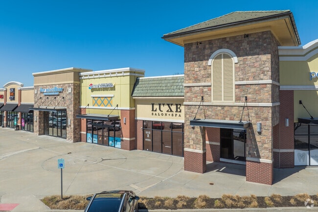
8500 Ne Flintlock Rd
Kansas City, MO-KS
Shoppes At Shoal Creek
14-313-00-01-010.00
SHOPPES AT SHOAL CREEK PT LT 1 LYING S OF PORTION DEEDED IN 5523-53
Commercialnec
Clay
AE
Missouri
29095C0152G
1
2024
6.27 AC
2025
I-35 Corridor
021309
Kansas City
DEMOGRAPHICS near 8500 Ne Flintlock Rd
1 Mile
3 Mile
5 Mile
2024 Total Population
6,131
52,899
106,214
2029 Population
6,452
55,488
111,549
Pop Growth 2024-2029
+ 5.24%
+ 4.89%
+ 5.02%
Average Age
39
38
38
2024 Total Households
2,594
19,878
39,904
HH Growth 2024-2029
+ 5.47%
+ 5.02%
+ 5.09%
Median Household Inc
$72,602
$88,649
$87,987
Avg Household Size
2.30
2.60
2.60
2024 Avg HH Vehicles
2.00
2.00
2.00
Median Home Value
$418,960
$290,659
$267,485
Median Year Built
2008
1997
1994
Nearby Places
Map Layers
Map Styles
 Street
 Aerial
- Restaurants
- Banks
- Shops
- Fitness
- Groceries
PUBLIC TRANSPORTATION
AIRPORT
Kansas City International
DRIVE
WALK
Distance
Kansas City International
23 min
17.5 mi
Freight Ports
Tulsa Port Of Catoosa
DRIVE
WALK
Distance
Tulsa Port Of Catoosa
286 min
253.1 mi
SALE & LEASE HISTORY
LISTING DATE
SALE/LEASE

Mar 23, 2017
For Lease
Jan 29, 2018
For Lease
Jan 23, 2018
For Lease
Jan 18, 2018
For Lease
Feb 05, 2024
For Lease
Nearby Properties
Address
Land Use
TOTAL SIZE
Lot Size
Zoning
Address
Land Use
TOTAL SIZE
Lot Size
Zoning
Address
Land Use
TOTAL SIZE
Lot Size
Zoning
36.93 AC
Address
Land Use
TOTAL SIZE
Lot Size
Zoning
64.34 AC
Address
Land Use
TOTAL SIZE
Lot Size
Zoning
50.52 AC
Address
Land Use
TOTAL SIZE
Lot Size
Zoning
Address
Land Use
TOTAL SIZE
Lot Size
Zoning
Address
Land Use
TOTAL SIZE
Lot Size
Zoning
9.72 AC
Address
Land Use
TOTAL SIZE
Lot Size
Zoning
18.03 AC
Address
Land Use
TOTAL SIZE
Lot Size
Zoning
26.52 AC
Address
Land Use
TOTAL SIZE
Lot Size
Zoning
255.96 AC
Address
Land Use
TOTAL SIZE
Lot Size
Zoning
Address
Land Use
TOTAL SIZE
Lot Size
Zoning
1.56 AC
Address
Land Use
TOTAL SIZE
Lot Size
Zoning
Address
Land Use
TOTAL SIZE
Lot Size
Zoning
10.90 AC
Address
Land Use
TOTAL SIZE
Lot Size
Zoning
21.19 AC
Address
Land Use
TOTAL SIZE
Lot Size
Zoning
16.84 AC
Address
Land Use
TOTAL SIZE
Lot Size
Zoning
Address
Land Use
TOTAL SIZE
Lot Size
Zoning
4.94 AC
Address
Land Use
TOTAL SIZE
Lot Size
Zoning
0.67 AC
Address
Land Use
TOTAL SIZE
Lot Size
Zoning
20.04 AC
Address
Land Use
TOTAL SIZE
Lot Size
Zoning
1.44 AC
Address
Land Use
TOTAL SIZE
Lot Size
Zoning
5.96 AC
Address
Land Use
TOTAL SIZE
Lot Size
Zoning
15.48 AC
Address
Land Use
TOTAL SIZE
Lot Size
Zoning
Address
Land Use
TOTAL SIZE
Lot Size
Zoning
8.79 AC
Address
Land Use
TOTAL SIZE
Lot Size
Zoning
11.66 AC
Address
Land Use
TOTAL SIZE
Lot Size
Zoning
8.35 AC
Address
Land Use
TOTAL SIZE
Lot Size
Zoning
10.71 AC
Address
Land Use
TOTAL SIZE
Lot Size
Zoning
6.48 AC
Address
Land Use
TOTAL SIZE
Lot Size
Zoning
5.89 AC
The World's #1 Commercial Real Estate Marketplace
Connect with us
© 2026 CoStar Group
The information above has been obtained from sources believed reliable. While we do not doubt its accuracy we have not verified it and make no guarantee, warranty or representation about it. It is your responsibility to independently confirm its accuracy and completeness. Any projections, opinions, assumptions, or estimates used are for example only and do not represent the current or future performance of the property. The value of this transaction to you depends on tax and other factors which should be evaluated by your tax, financial, and legal advisors. You and your advisors should conduct a careful, independent investigation of the property to determine to your satisfaction the suitability of the property for your needs.