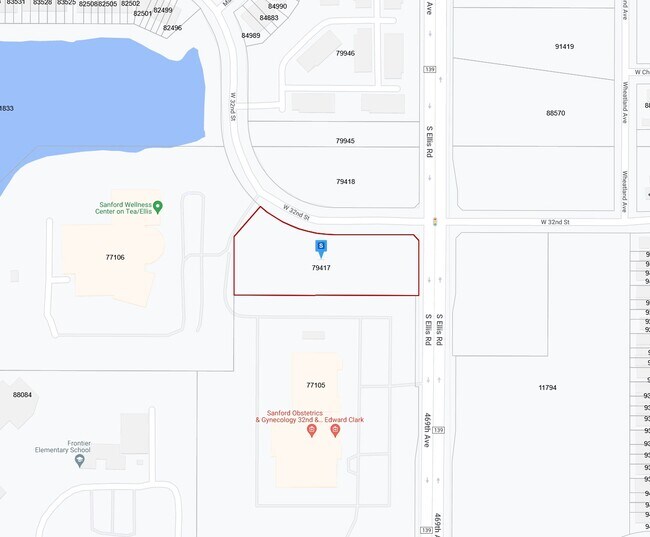
Property Record
8501 W 32Nd St, Sioux Falls, SD 57106


Property Detail
8501 W 32Nd St
Sioux Falls, SD-MN
(EX LOT H1) 5A BLOCK 1 WESTWOOD VALLEY ADDN TO CITY OF SIOUX FALLS
79417
MINNEHAHA
Commercialacreage
South Dakota
B and X Area of moderate flood hazard, usually the area between the limits of the 100-year and 500-year floods.
5a
2024
2.47 AC
2024
Sioux Falls
010406
Other Market Areas
NEARBY LISTINGS FOR SALE OR LEASE
DEMOGRAPHICS near 8501 W 32Nd St
1 mile
3 mile
5 mile
2025 Total Population
11,614
51,959
103,288
2030 Population
12,373
55,034
110,394
Pop Growth 2025-2030
+ 6.54%
+ 5.92%
+ 6.88%
Average Age
35
37
37
2025 Total Households
4,477
20,579
42,467
HH Growth 2025-2030
+ 7.08%
+ 6.30%
+ 7.19%
Median Household Inc
$89,420
$79,835
$71,959
Avg Household Size
2.60
2.50
2.40
2025 Avg HH Vehicles
2.00
2.00
2.00
Median Home Value
$368,510
$290,701
$286,895
Median Year Built
2010
2000
1998
Nearby Places
Map Layers
Map Styles
 Street
 Aerial
Transit
 Traffic
 Biking
Places
Listings with unknown addresses are not visible on the map
- Restaurants
- Banks
- Shops
- Fitness
- Groceries
PUBLIC TRANSPORTATION
AIRPORT
Joe Foss Field
Drive
Walk
Distance
Joe Foss Field
29 min
10.4 mi
SALE & LEASE HISTORY
LISTING DATE
SALE/LEASE

Sep 30, 2022
For Sale
Sep 24, 2016
For Sale
Nearby Properties
Address
Land Use
TOTAL SIZE
Lot Size
Zoning
Address
Land Use
TOTAL SIZE
Lot Size
Zoning
639,393 SF
53.46 AC
FP;FP
Address
Land Use
TOTAL SIZE
Lot Size
Zoning
32,169 SF
9.91 AC
Address
Land Use
TOTAL SIZE
Lot Size
Zoning
55,998 SF
5.42 AC
FP;FP
Address
Land Use
TOTAL SIZE
Lot Size
Zoning
15.40 AC
MUNICIPALI
Address
Land Use
TOTAL SIZE
Lot Size
Zoning
15.89 AC
Address
Land Use
TOTAL SIZE
Lot Size
Zoning
100,053 SF
8.50 AC
FP;FP
Address
Land Use
TOTAL SIZE
Lot Size
Zoning
16.45 AC
MUNICIPALI
Address
Land Use
TOTAL SIZE
Lot Size
Zoning
1.66 AC
FP;FP
Address
Land Use
TOTAL SIZE
Lot Size
Zoning
23,832 SF
216 AC
Address
Land Use
TOTAL SIZE
Lot Size
Zoning
Address
Land Use
TOTAL SIZE
Lot Size
Zoning
26,601 SF
5.31 AC
Address
Land Use
TOTAL SIZE
Lot Size
Zoning
72,601 SF
15.33 AC
Address
Land Use
TOTAL SIZE
Lot Size
Zoning
21,060 SF
6.70 AC
FP;FP
Address
Land Use
TOTAL SIZE
Lot Size
Zoning
9.27 AC
MUNICIPALI
Address
Land Use
TOTAL SIZE
Lot Size
Zoning
8,768 SF
5.48 AC
Address
Land Use
TOTAL SIZE
Lot Size
Zoning
5,649 SF
9.13 AC
Address
Land Use
TOTAL SIZE
Lot Size
Zoning
9.16 AC
MUNICIPALI
Address
Land Use
TOTAL SIZE
Lot Size
Zoning
185,662 SF
18.09 AC
Address
Land Use
TOTAL SIZE
Lot Size
Zoning
72,820 SF
12.43 AC
Address
Land Use
TOTAL SIZE
Lot Size
Zoning
214,855 SF
14.65 AC
FP;FP
Address
Land Use
TOTAL SIZE
Lot Size
Zoning
1,796 SF
7.57 AC
Address
Land Use
TOTAL SIZE
Lot Size
Zoning
42,810 SF
11.57 AC
Address
Land Use
TOTAL SIZE
Lot Size
Zoning
72,342 SF
6.09 AC
FP;FP
Address
Land Use
TOTAL SIZE
Lot Size
Zoning
75,319 SF
2.92 AC
Address
Land Use
TOTAL SIZE
Lot Size
Zoning
2,197 SF
46.99 AC
FP;FP
Address
Land Use
TOTAL SIZE
Lot Size
Zoning
170,372 SF
8.22 AC
Address
Land Use
TOTAL SIZE
Lot Size
Zoning
14.66 AC
C4;GENERAL
Address
Land Use
TOTAL SIZE
Lot Size
Zoning
11.07 AC
MUNICIPALI
Address
Land Use
TOTAL SIZE
Lot Size
Zoning
57,801 SF
3.75 AC
Address
Land Use
TOTAL SIZE
Lot Size
Zoning
10.15 AC
The World's #1 Commercial Real Estate Marketplace
Connect with us
© 2026 CoStar Group
The information above has been obtained from sources believed reliable. While we do not doubt its accuracy we have not verified it and make no guarantee, warranty or representation about it. It is your responsibility to independently confirm its accuracy and completeness. Any projections, opinions, assumptions, or estimates used are for example only and do not represent the current or future performance of the property. The value of this transaction to you depends on tax and other factors which should be evaluated by your tax, financial, and legal advisors. You and your advisors should conduct a careful, independent investigation of the property to determine to your satisfaction the suitability of the property for your needs.