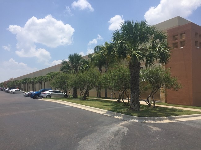
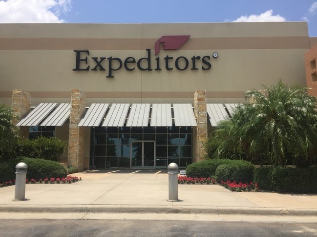
Property Record
8510 W Bob Bullock Loop, Laredo, TX 78045

Property Detail
8510 W Bob Bullock Loop
305417
EMBARCADERO, BLOCK 8, LOT 1A, PHASE 3A
Commercialnec
Webb
M1
Texas
B and X Area of moderate flood hazard, usually the area between the limits of the 100-year and 500-year floods.
1a
2024
16.56 AC
2025
Texas South Area
001715
Other Market Areas
253,180 SF
Laredo, TX
NEARBY LISTINGS FOR SALE OR LEASE
DEMOGRAPHICS near 8510 W Bob Bullock Loop
1 mile
3 mile
5 mile
2025 Total Population
1,950
51,421
103,287
2030 Population
2,029
52,537
105,699
Pop Growth 2025-2030
+ 4.05%
+ 2.17%
+ 2.34%
Average Age
30
35
36
2025 Total Households
567
15,736
32,273
HH Growth 2025-2030
+ 4.41%
+ 2.43%
+ 2.56%
Median Household Inc
$69,499
$79,909
$78,215
Avg Household Size
3.40
3.20
3.10
2025 Avg HH Vehicles
2.00
2.00
2.00
Median Home Value
$244,628
$237,285
$252,757
Median Year Built
2010
2001
2000
Nearby Places
Map Layers
Map Styles
 Street
 Aerial
Transit
 Traffic
 Biking
Places
Listings with unknown addresses are not visible on the map
- Restaurants
- Banks
- Shops
- Fitness
- Groceries
PUBLIC TRANSPORTATION
AIRPORT
Laredo International
Drive
Walk
Distance
Laredo International
15 min
10.2 mi
Nearby Properties
Address
Land Use
TOTAL SIZE
Lot Size
Zoning
Address
Land Use
TOTAL SIZE
Lot Size
Zoning
430,587 SF
30 AC
R1
Address
Land Use
TOTAL SIZE
Lot Size
Zoning
251,512 SF
57.32 AC
B4
Address
Land Use
TOTAL SIZE
Lot Size
Zoning
255,819 SF
50 AC
R1
Address
Land Use
TOTAL SIZE
Lot Size
Zoning
436,814 SF
27.66 AC
Address
Land Use
TOTAL SIZE
Lot Size
Zoning
649,220 SF
38.29 AC
M1
Address
Land Use
TOTAL SIZE
Lot Size
Zoning
562,944 SF
30 AC
M1
Address
Land Use
TOTAL SIZE
Lot Size
Zoning
370,800 SF
40.09 AC
Address
Land Use
TOTAL SIZE
Lot Size
Zoning
521,026 SF
30 AC
M1
Address
Land Use
TOTAL SIZE
Lot Size
Zoning
164,276 SF
43.92 AC
Address
Land Use
TOTAL SIZE
Lot Size
Zoning
286,008 SF
37.30 AC
Address
Land Use
TOTAL SIZE
Lot Size
Zoning
109,695 SF
3.73 AC
M1
Address
Land Use
TOTAL SIZE
Lot Size
Zoning
194,520 SF
11.18 AC
B3
Address
Land Use
TOTAL SIZE
Lot Size
Zoning
115,076 SF
32.87 AC
Address
Land Use
TOTAL SIZE
Lot Size
Zoning
192,203 SF
22.01 AC
B4
Address
Land Use
TOTAL SIZE
Lot Size
Zoning
218,415 SF
13.41 AC
R3
Address
Land Use
TOTAL SIZE
Lot Size
Zoning
122,752 SF
17.16 AC
R2
Address
Land Use
TOTAL SIZE
Lot Size
Zoning
170,632 SF
8.03 AC
B3
Address
Land Use
TOTAL SIZE
Lot Size
Zoning
257,516 SF
21.94 AC
Address
Land Use
TOTAL SIZE
Lot Size
Zoning
263,842 SF
22.20 AC
Address
Land Use
TOTAL SIZE
Lot Size
Zoning
243,399 SF
15.50 AC
Address
Land Use
TOTAL SIZE
Lot Size
Zoning
66,232 SF
47.65 AC
Address
Land Use
TOTAL SIZE
Lot Size
Zoning
162,013 SF
9.16 AC
B1
Address
Land Use
TOTAL SIZE
Lot Size
Zoning
246,003 SF
24.32 AC
Address
Land Use
TOTAL SIZE
Lot Size
Zoning
100,598 SF
26.22 AC
Address
Land Use
TOTAL SIZE
Lot Size
Zoning
118,124 SF
11.30 AC
R1A
Address
Land Use
TOTAL SIZE
Lot Size
Zoning
228,046 SF
13.58 AC
Address
Land Use
TOTAL SIZE
Lot Size
Zoning
96,665 SF
11.12 AC
R1A
Address
Land Use
TOTAL SIZE
Lot Size
Zoning
93,707 SF
12.29 AC
Address
Land Use
TOTAL SIZE
Lot Size
Zoning
264,984 SF
18.70 AC
The World's #1 Commercial Real Estate Marketplace
Connect with us
© 2026 CoStar Group
The information above has been obtained from sources believed reliable. While we do not doubt its accuracy we have not verified it and make no guarantee, warranty or representation about it. It is your responsibility to independently confirm its accuracy and completeness. Any projections, opinions, assumptions, or estimates used are for example only and do not represent the current or future performance of the property. The value of this transaction to you depends on tax and other factors which should be evaluated by your tax, financial, and legal advisors. You and your advisors should conduct a careful, independent investigation of the property to determine to your satisfaction the suitability of the property for your needs.