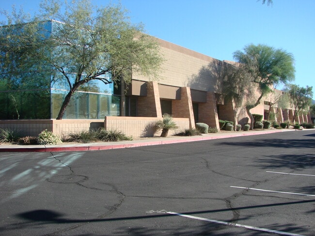
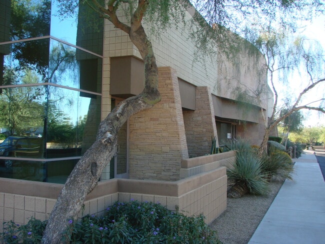
Property Record
8515 E Anderson Dr, Scottsdale, AZ 85255


Property Detail
8515 E Anderson Dr
215-07-212C
PT SE4 SEC 36 DAF COM C/L OF INTER-SEC PERIMETER DR WITH ANDERSON DR TH N 70D 35M E ALG C/L ANDERSON DR 65F S 19D 24M E 35F TO TPOB TH N 70D 35M E 589.92F S 487.62F W 480F TO PT ON CUR ON ELY R/W LN P ERIMETER DR TH NLY ALG ARC SD CUR TO LEFT 120.66F
Officebuilding
Maricopa
I-P
Arizona
AO River or stream flood hazard areas, and areas with a 1% or greater chance of shallow flooding each year. These areas have a 26% chance of flooding over the life of a 30-year mortgage.
4.79 AC
2025
Scottsdale/Salt River
2025
Phoenix
216845
Phoenix-Mesa-Chandler, AZ
53,086 SF
NEARBY LISTINGS FOR SALE OR LEASE
DEMOGRAPHICS near 8515 E Anderson Dr
1 mile
3 mile
5 mile
2025 Total Population
4,881
74,384
165,632
2030 Population
5,191
79,277
174,897
Pop Growth 2025-2030
+ 6.35%
+ 6.58%
+ 5.59%
Average Age
43
44
45
2025 Total Households
2,379
35,297
74,254
HH Growth 2025-2030
+ 6.64%
+ 6.91%
+ 5.93%
Median Household Inc
$100,531
$114,312
$119,257
Avg Household Size
2.00
2.10
2.20
2025 Avg HH Vehicles
2.00
2.00
2.00
Median Home Value
$855,769
$822,303
$814,386
Median Year Built
1998
1998
1994
Nearby Places
Map Layers
Map Styles
 Street
 Aerial
Layers
 Traffic
 Biking
Places
Listings with unknown addresses are not visible on the map
- Restaurants
- Banks
- Shops
- Fitness
- Groceries
PUBLIC TRANSPORTATION
AIRPORT
Phoenix Sky Harbor International
Drive
Walk
Distance
Phoenix Sky Harbor International
30 min
22.2 mi
Phoenix-Mesa Gateway
Drive
Walk
Distance
Phoenix-Mesa Gateway
50 min
37.2 mi
Freight Ports
Port of San Diego
Drive
Walk
Distance
Port of San Diego
423 min
378.8 mi
SALE & LEASE HISTORY
LISTING DATE
SALE/LEASE

Oct 30, 2018
For Lease
Nearby Properties
Address
Land Use
TOTAL SIZE
Lot Size
Zoning
Address
Land Use
TOTAL SIZE
Lot Size
Zoning
20.98 AC
Address
Land Use
TOTAL SIZE
Lot Size
Zoning
35.76 AC
R1-18
Address
Land Use
TOTAL SIZE
Lot Size
Zoning
14.58 AC
Address
Land Use
TOTAL SIZE
Lot Size
Zoning
1,293,284 SF
14.50 AC
C-R
Address
Land Use
TOTAL SIZE
Lot Size
Zoning
1,479,005 SF
12.55 AC
PC
Address
Land Use
TOTAL SIZE
Lot Size
Zoning
Address
Land Use
TOTAL SIZE
Lot Size
Zoning
3.15 AC
I-P
Address
Land Use
TOTAL SIZE
Lot Size
Zoning
667,688 SF
277.21 AC
Address
Land Use
TOTAL SIZE
Lot Size
Zoning
Address
Land Use
TOTAL SIZE
Lot Size
Zoning
694,644 SF
34.41 AC
C-C
Address
Land Use
TOTAL SIZE
Lot Size
Zoning
229,856 SF
7.71 AC
C-T
Address
Land Use
TOTAL SIZE
Lot Size
Zoning
794,304 SF
14.59 AC
WTP
Address
Land Use
TOTAL SIZE
Lot Size
Zoning
6.71 AC
PAD
Address
Land Use
TOTAL SIZE
Lot Size
Zoning
762,044 SF
16.66 AC
I1
Address
Land Use
TOTAL SIZE
Lot Size
Zoning
7,803 SF
2.31 AC
I-P
Address
Land Use
TOTAL SIZE
Lot Size
Zoning
368,657 SF
40.11 AC
Address
Land Use
TOTAL SIZE
Lot Size
Zoning
514,088 SF
6.70 AC
PAD
Address
Land Use
TOTAL SIZE
Lot Size
Zoning
533,288 SF
18.61 AC
I-P
Address
Land Use
TOTAL SIZE
Lot Size
Zoning
428,891 SF
6.48 AC
PAD
Address
Land Use
TOTAL SIZE
Lot Size
Zoning
707,542 SF
28.49 AC
R-3A
Address
Land Use
TOTAL SIZE
Lot Size
Zoning
421,002 SF
23.48 AC
Address
Land Use
TOTAL SIZE
Lot Size
Zoning
824,672 SF
11.52 AC
Address
Land Use
TOTAL SIZE
Lot Size
Zoning
487,786 SF
18.42 AC
S1
Address
Land Use
TOTAL SIZE
Lot Size
Zoning
884,258 SF
30.63 AC
PCD
Address
Land Use
TOTAL SIZE
Lot Size
Zoning
90.73 AC
O-S
Address
Land Use
TOTAL SIZE
Lot Size
Zoning
497,704 SF
6.77 AC
The World's #1 Commercial Real Estate Marketplace
Connect with us
© 2026 CoStar Group
The information above has been obtained from sources believed reliable. While we do not doubt its accuracy we have not verified it and make no guarantee, warranty or representation about it. It is your responsibility to independently confirm its accuracy and completeness. Any projections, opinions, assumptions, or estimates used are for example only and do not represent the current or future performance of the property. The value of this transaction to you depends on tax and other factors which should be evaluated by your tax, financial, and legal advisors. You and your advisors should conduct a careful, independent investigation of the property to determine to your satisfaction the suitability of the property for your needs.