Property Record
8565 Alanburg Rd, Millington, TN 38053
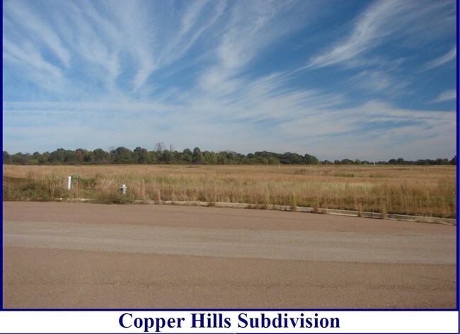


This Property Is For Sale
NEARBY LISTINGS FOR SALE OR LEASE
Property Detail
8565 Alanburg Rd
Memphis, TN-MS-AR
Cadence Bank Na Property
M0-116-0-0395
WS BETHUEL RD SEE MAP GRID# 27
Vacantlandnec
Shelby
X
Tennessee
47157C0180G
53.70 AC
2024
North
2025
Memphis
020302
DEMOGRAPHICS near 8565 Alanburg Rd
1 Mile
3 Mile
5 Mile
2024 Total Population
144
8,131
20,307
2029 Population
140
8,059
20,249
Pop Growth 2024-2029
(2.78%)
(0.89%)
(0.29%)
Average Age
39
39
40
2024 Total Households
50
3,169
7,815
HH Growth 2024-2029
(4.00%)
(0.98%)
(0.45%)
Median Household Inc
$64,285
$50,759
$59,705
Avg Household Size
2.40
2.50
2.50
2024 Avg HH Vehicles
2.00
2.00
2.00
Median Home Value
$250,000
$176,550
$203,187
Median Year Built
1954
1973
1981
Nearby Places
Map Layers
Map Styles
 Street
 Aerial
- Restaurants
- Banks
- Shops
- Fitness
- Groceries
PUBLIC TRANSPORTATION
AIRPORT
Memphis International
DRIVE
WALK
Distance
Memphis International
46 min
30.7 mi
Freight Ports
Port of Shreveport
DRIVE
WALK
Distance
Port of Shreveport
428 min
389.3 mi
Nearby Properties
Address
Land Use
TOTAL SIZE
Lot Size
Zoning
Address
Land Use
TOTAL SIZE
Lot Size
Zoning
1,534.16 AC
MT
Address
Land Use
TOTAL SIZE
Lot Size
Zoning
150,026 SF
25.55 AC
B-2
Address
Land Use
TOTAL SIZE
Lot Size
Zoning
619.59 AC
M-2
Address
Land Use
TOTAL SIZE
Lot Size
Zoning
202,614 SF
19.78 AC
P-C
Address
Land Use
TOTAL SIZE
Lot Size
Zoning
105.50 AC
M-1
Address
Land Use
TOTAL SIZE
Lot Size
Zoning
108,870 SF
12.63 AC
R-0
Address
Land Use
TOTAL SIZE
Lot Size
Zoning
105,516 SF
11.74 AC
R-4
Address
Land Use
TOTAL SIZE
Lot Size
Zoning
62,477 SF
1.60 AC
B-2
Address
Land Use
TOTAL SIZE
Lot Size
Zoning
107,077 SF
10.98 AC
P-C
Address
Land Use
TOTAL SIZE
Lot Size
Zoning
10,964 SF
4 AC
R1
Address
Land Use
TOTAL SIZE
Lot Size
Zoning
38.70 AC
M-1
Address
Land Use
TOTAL SIZE
Lot Size
Zoning
26,350 SF
4.08 AC
P-C
Address
Land Use
TOTAL SIZE
Lot Size
Zoning
34,186 SF
2.54 AC
B-2
Address
Land Use
TOTAL SIZE
Lot Size
Zoning
29,181 SF
2.68 AC
B-2
Address
Land Use
TOTAL SIZE
Lot Size
Zoning
27.73 AC
M-2
Address
Land Use
TOTAL SIZE
Lot Size
Zoning
184.13 AC
M-2
Address
Land Use
TOTAL SIZE
Lot Size
Zoning
18,228 SF
4.41 AC
M-2
Address
Land Use
TOTAL SIZE
Lot Size
Zoning
44,100 SF
6.52 AC
B-2
Address
Land Use
TOTAL SIZE
Lot Size
Zoning
347.69 AC
M-2
Address
Land Use
TOTAL SIZE
Lot Size
Zoning
62,621 SF
4.15 AC
P-C
Address
Land Use
TOTAL SIZE
Lot Size
Zoning
32,257 SF
1.75 AC
B-2
Address
Land Use
TOTAL SIZE
Lot Size
Zoning
11,200 SF
1.16 AC
P-C
Address
Land Use
TOTAL SIZE
Lot Size
Zoning
26,720 SF
2.52 AC
P-C
Address
Land Use
TOTAL SIZE
Lot Size
Zoning
26,740 SF
6 AC
B-2
Address
Land Use
TOTAL SIZE
Lot Size
Zoning
6,928 SF
1.22 AC
P-C
Address
Land Use
TOTAL SIZE
Lot Size
Zoning
9,917 SF
1.79 AC
B-2
Address
Land Use
TOTAL SIZE
Lot Size
Zoning
172.28 AC
M-2
Address
Land Use
TOTAL SIZE
Lot Size
Zoning
17,424 SF
1.95 AC
B-2
Address
Land Use
TOTAL SIZE
Lot Size
Zoning
11,292 SF
8.01 AC
CA
Address
Land Use
TOTAL SIZE
Lot Size
Zoning
437.93 AC
A
The World's #1 Commercial Real Estate Marketplace
Connect with us
© 2026 CoStar Group
The information above has been obtained from sources believed reliable. While we do not doubt its accuracy we have not verified it and make no guarantee, warranty or representation about it. It is your responsibility to independently confirm its accuracy and completeness. Any projections, opinions, assumptions, or estimates used are for example only and do not represent the current or future performance of the property. The value of this transaction to you depends on tax and other factors which should be evaluated by your tax, financial, and legal advisors. You and your advisors should conduct a careful, independent investigation of the property to determine to your satisfaction the suitability of the property for your needs.