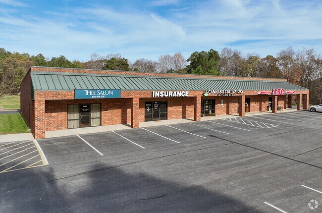
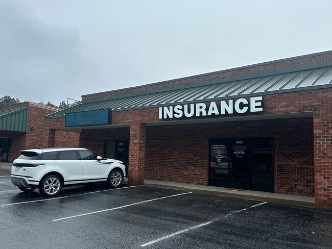
Property Record
8580 Nc Highway 150 E, Terrell, NC 28682

Property Detail
8580 Nc Highway 150 E
4617088974200000
LOT 2 TR 2 PL52-79 HWY 150 EAST PL 52-79
Apartment
CATAWBA
PD
North Carolina
B and X Area of moderate flood hazard, usually the area between the limits of the 100-year and 500-year floods.
2
2024
5.36 AC
2025
Catawba County
011503
Charlotte
6,375 SF
Hickory-Lenoir-Morganton, NC
NEARBY LISTINGS FOR SALE OR LEASE
DEMOGRAPHICS near 8580 Nc Highway 150 E
1 mile
3 mile
5 mile
2025 Total Population
531
11,871
45,104
2030 Population
590
12,941
49,014
Pop Growth 2025-2030
+ 11.11%
+ 9.01%
+ 8.67%
Average Age
50
45
44
2025 Total Households
233
4,762
17,668
HH Growth 2025-2030
+ 11.16%
+ 9.11%
+ 8.72%
Median Household Inc
$123,369
$124,276
$123,015
Avg Household Size
2.30
2.50
2.50
2025 Avg HH Vehicles
2.00
2.00
2.00
Median Home Value
$690,082
$685,925
$668,160
Median Year Built
2002
2003
2003
Nearby Places
Map Layers
Map Styles
 Street
 Aerial
Transit
 Traffic
 Biking
Places
Listings with unknown addresses are not visible on the map
- Restaurants
- Banks
- Shops
- Fitness
- Groceries
PUBLIC TRANSPORTATION
AIRPORT
Charlotte/Douglas International
Drive
Walk
Distance
Charlotte/Douglas International
54 min
38.4 mi
Freight Ports
North Charleston Terminal
Drive
Walk
Distance
North Charleston Terminal
266 min
230.5 mi
SALE & LEASE HISTORY
LISTING DATE
SALE/LEASE

Sep 25, 2016
For Lease
Nov 08, 2019
For Lease
Mar 20, 2021
For Lease
Apr 13, 2023
For Lease
Nearby Properties
Address
Land Use
TOTAL SIZE
Lot Size
Zoning
Address
Land Use
TOTAL SIZE
Lot Size
Zoning
31,198 SF
26.01 AC
PD-CD
Address
Land Use
TOTAL SIZE
Lot Size
Zoning
4,516 SF
24.47 AC
CM
Address
Land Use
TOTAL SIZE
Lot Size
Zoning
95,320 SF
50.32 AC
RA
Address
Land Use
TOTAL SIZE
Lot Size
Zoning
15,273 SF
15.68 AC
RO
Address
Land Use
TOTAL SIZE
Lot Size
Zoning
1,288 SF
16.04 AC
PD-CD
Address
Land Use
TOTAL SIZE
Lot Size
Zoning
192,854 SF
62.67 AC
RA
Address
Land Use
TOTAL SIZE
Lot Size
Zoning
1,709.40 AC
GI
Address
Land Use
TOTAL SIZE
Lot Size
Zoning
60,860 SF
9.81 AC
PD-CD
Address
Land Use
TOTAL SIZE
Lot Size
Zoning
79,137 SF
6.34 AC
HC
Address
Land Use
TOTAL SIZE
Lot Size
Zoning
80,181 SF
17.50 AC
R-20
Address
Land Use
TOTAL SIZE
Lot Size
Zoning
21,600 SF
10.51 AC
HB
Address
Land Use
TOTAL SIZE
Lot Size
Zoning
20,595 SF
2.65 AC
PD-CD
Address
Land Use
TOTAL SIZE
Lot Size
Zoning
1,008 SF
4.96 AC
HB
Address
Land Use
TOTAL SIZE
Lot Size
Zoning
18,316 SF
3.61 AC
PD-CD
Address
Land Use
TOTAL SIZE
Lot Size
Zoning
15,980 SF
6.56 AC
CM
Address
Land Use
TOTAL SIZE
Lot Size
Zoning
6,250 SF
16.57 AC
CMX
Address
Land Use
TOTAL SIZE
Lot Size
Zoning
37,999 SF
3.41 AC
HC
Address
Land Use
TOTAL SIZE
Lot Size
Zoning
6,889 SF
1.75 AC
PD-CD
Address
Land Use
TOTAL SIZE
Lot Size
Zoning
17,850 SF
4.19 AC
GB
Address
Land Use
TOTAL SIZE
Lot Size
Zoning
124.49 AC
GI
Address
Land Use
TOTAL SIZE
Lot Size
Zoning
9 AC
RR
Address
Land Use
TOTAL SIZE
Lot Size
Zoning
4,329 SF
1.43 AC
PD-CD
Address
Land Use
TOTAL SIZE
Lot Size
Zoning
23,980 SF
4.68 AC
GB
Address
Land Use
TOTAL SIZE
Lot Size
Zoning
12,352 SF
4.55 AC
HC
Address
Land Use
TOTAL SIZE
Lot Size
Zoning
16,740 SF
3.35 AC
CM
Address
Land Use
TOTAL SIZE
Lot Size
Zoning
5,290 SF
1.21 AC
PD-CD
Address
Land Use
TOTAL SIZE
Lot Size
Zoning
5,210 SF
3.71 AC
GB
Address
Land Use
TOTAL SIZE
Lot Size
Zoning
8.04 AC
R-20
Address
Land Use
TOTAL SIZE
Lot Size
Zoning
10,883 SF
2.50 AC
PD
Address
Land Use
TOTAL SIZE
Lot Size
Zoning
9,000 SF
6.04 AC
PD
The World's #1 Commercial Real Estate Marketplace
Connect with us
© 2026 CoStar Group
The information above has been obtained from sources believed reliable. While we do not doubt its accuracy we have not verified it and make no guarantee, warranty or representation about it. It is your responsibility to independently confirm its accuracy and completeness. Any projections, opinions, assumptions, or estimates used are for example only and do not represent the current or future performance of the property. The value of this transaction to you depends on tax and other factors which should be evaluated by your tax, financial, and legal advisors. You and your advisors should conduct a careful, independent investigation of the property to determine to your satisfaction the suitability of the property for your needs.