Property Record
8675 S Harrison St, Midvale, UT 84047

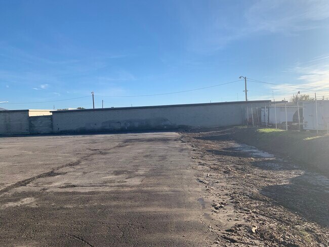

Property Detail
8675 S Harrison St
27-01-201-038-0000
BEG S 89^5927 W 1356.5 FT & S 0^1342 W 248.3 FT FR NE COR OF SEC 1, T 3S, R 1W, S L M; S 89^5927 W 333.21 FT; S 0^1342 W 215 FT; S 89^5927 W 427.25 FT; N 0^1342 E 297.87 FT; N 89^5927 E 360.46 FT; S 0^1342 W 52 FT; N 89^5927 E 400 FT; S 0^1342 W 30.8
Commercialacreage
SALT LAKE
ID
Utah
B and X Area of moderate flood hazard, usually the area between the limits of the 100-year and 500-year floods.
0.02 AC
2024
Sandy South Towne
2025
Salt Lake City
112620
Salt Lake City-Murray, UT
NEARBY LISTINGS FOR SALE OR LEASE
DEMOGRAPHICS near 8675 S Harrison St
1 mile
3 mile
5 mile
2025 Total Population
14,133
131,435
339,769
2030 Population
14,406
134,514
347,529
Pop Growth 2025-2030
+ 1.93%
+ 2.34%
+ 2.28%
Average Age
35
38
39
2025 Total Households
5,173
49,028
119,677
HH Growth 2025-2030
+ 2.11%
+ 2.56%
+ 2.46%
Median Household Inc
$72,058
$88,041
$102,442
Avg Household Size
2.70
2.60
2.80
2025 Avg HH Vehicles
2.00
2.00
2.00
Median Home Value
$457,703
$504,296
$616,354
Median Year Built
1980
1989
1987
Nearby Places
Map Layers
Map Styles
 Street
 Aerial
Layers
 Traffic
 Biking
Places
Listings with unknown addresses are not visible on the map
- Restaurants
- Banks
- Shops
- Fitness
- Groceries
PUBLIC TRANSPORTATION
COMMUTER RAIL
South Jordan Station (FrontRunner - Utah Transit Authority (UTA))
Drive
Walk
Distance
South Jordan Station (FrontRunner - Utah Transit Authority (UTA))
6 min
3.5 mi
Draper Station (FrontRunner - Utah Transit Authority (UTA))
Drive
Walk
Distance
Draper Station (FrontRunner - Utah Transit Authority (UTA))
12 min
6.9 mi
AIRPORT
Salt Lake City International
Drive
Walk
Distance
Salt Lake City International
24 min
18.3 mi
Provo Municipal
Drive
Walk
Distance
Provo Municipal
45 min
34.2 mi
Freight Ports
Port of Stockton
Drive
Walk
Distance
Port of Stockton
724 min
708.7 mi
SALE & LEASE HISTORY
LISTING DATE
SALE/LEASE

Jul 01, 2021
For Lease
Nearby Properties
Address
Land Use
TOTAL SIZE
Lot Size
Zoning
Address
Land Use
TOTAL SIZE
Lot Size
Zoning
235,963 SF
35.56 AC
SF1-DO
Address
Land Use
TOTAL SIZE
Lot Size
Zoning
512,301 SF
25.39 AC
SD(H)
Address
Land Use
TOTAL SIZE
Lot Size
Zoning
258,000 SF
13.25 AC
1D
Address
Land Use
TOTAL SIZE
Lot Size
Zoning
552,994 SF
13.64 AC
SD-X
Address
Land Use
TOTAL SIZE
Lot Size
Zoning
198,801 SF
8.36 AC
R-3-20
Address
Land Use
TOTAL SIZE
Lot Size
Zoning
427,884 SF
18.22 AC
JB-4
Address
Land Use
TOTAL SIZE
Lot Size
Zoning
153,245 SF
27.10 AC
PUD137
Address
Land Use
TOTAL SIZE
Lot Size
Zoning
191,718 SF
6.74 AC
RM-25
Address
Land Use
TOTAL SIZE
Lot Size
Zoning
191,718 SF
0.83 AC
RM-25
Address
Land Use
TOTAL SIZE
Lot Size
Zoning
566,327 SF
7.02 AC
CBD-O
Address
Land Use
TOTAL SIZE
Lot Size
Zoning
458,458 SF
6.05 AC
MU
Address
Land Use
TOTAL SIZE
Lot Size
Zoning
224,049 SF
5.29 AC
MU
Address
Land Use
TOTAL SIZE
Lot Size
Zoning
497,522 SF
16.43 AC
MH
Address
Land Use
TOTAL SIZE
Lot Size
Zoning
372,355 SF
13.80 AC
C-F
Address
Land Use
TOTAL SIZE
Lot Size
Zoning
500,249 SF
3.16 AC
MU
Address
Land Use
TOTAL SIZE
Lot Size
Zoning
106,318 SF
4.46 AC
CBD-O
Address
Land Use
TOTAL SIZE
Lot Size
Zoning
500,249 SF
3.16 AC
MU
Address
Land Use
TOTAL SIZE
Lot Size
Zoning
679,800 SF
18.14 AC
BJ-1-3
Address
Land Use
TOTAL SIZE
Lot Size
Zoning
280,668 SF
12 AC
CBD
Address
Land Use
TOTAL SIZE
Lot Size
Zoning
448,232 SF
9.08 AC
PC
Address
Land Use
TOTAL SIZE
Lot Size
Zoning
143,600 SF
7.56 AC
2000
Address
Land Use
TOTAL SIZE
Lot Size
Zoning
327,940 SF
3.95 AC
SD
Address
Land Use
TOTAL SIZE
Lot Size
Zoning
103,114 SF
14.82 AC
RM 25
Address
Land Use
TOTAL SIZE
Lot Size
Zoning
74,120 SF
12.61 AC
BJ
Address
Land Use
TOTAL SIZE
Lot Size
Zoning
321,397 SF
11.16 AC
BJ
Address
Land Use
TOTAL SIZE
Lot Size
Zoning
327,940 SF
3.37 AC
SD
Address
Land Use
TOTAL SIZE
Lot Size
Zoning
379,911 SF
5.78 AC
mu
Address
Land Use
TOTAL SIZE
Lot Size
Zoning
45,924 SF
18.15 AC
R-3-20
Address
Land Use
TOTAL SIZE
Lot Size
Zoning
192,626 SF
5.72 AC
CF
Address
Land Use
TOTAL SIZE
Lot Size
Zoning
289,838 SF
24.11 AC
BJ-3
The World's #1 Commercial Real Estate Marketplace
Connect with us
© 2026 CoStar Group
The information above has been obtained from sources believed reliable. While we do not doubt its accuracy we have not verified it and make no guarantee, warranty or representation about it. It is your responsibility to independently confirm its accuracy and completeness. Any projections, opinions, assumptions, or estimates used are for example only and do not represent the current or future performance of the property. The value of this transaction to you depends on tax and other factors which should be evaluated by your tax, financial, and legal advisors. You and your advisors should conduct a careful, independent investigation of the property to determine to your satisfaction the suitability of the property for your needs.