Property Record
87-253 Paakea Rd, Waianae, HI 96792
NEARBY LISTINGS FOR SALE OR LEASE
-
-
View all Waianae listings for sale on LoopNet.com
Property Detail
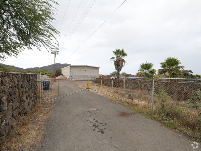
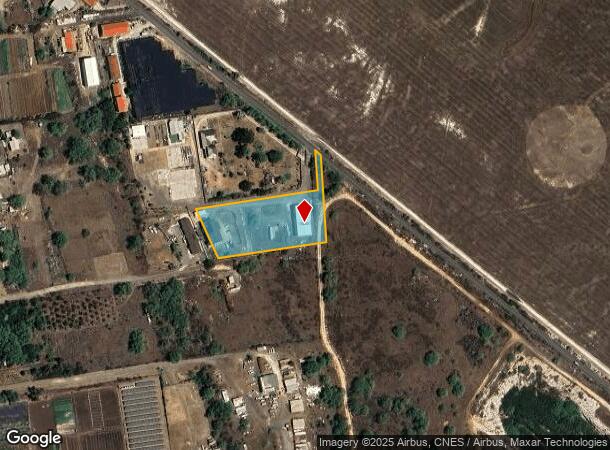
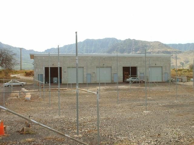
87-253 Paakea Rd
Urban Honolulu, HI
Map 90
1-8-7-003-071-0000
LOT 397 MAP 90 LCAPP NO. 130 2.019 ACRES TOG/ESMT 40 FOR WATERLINE PURPOSES TOG/ESMTS SUBJ/ESMTS
Agriculturalland
Honolulu
X
Hawaii
15003C0192J
397
2024
2.02 AC
2025
Waianae
009609
Hawaii
6,172 SF
DEMOGRAPHICS near 87-253 Paakea Rd
1 Mile
3 Mile
5 Mile
2024 Total Population
4,808
30,313
44,470
2029 Population
4,447
28,547
42,231
Pop Growth 2024-2029
(7.51%)
(5.83%)
(5.03%)
Average Age
36
36
37
2024 Total Households
1,084
7,014
11,026
HH Growth 2024-2029
(8.86%)
(6.97%)
(5.51%)
Median Household Inc
$95,018
$82,038
$75,247
Avg Household Size
4.00
3.80
3.60
2024 Avg HH Vehicles
2.00
2.00
2.00
Median Home Value
$580,000
$513,093
$487,982
Median Year Built
1976
1979
1977
Nearby Places
Map Layers
Map Styles
 Street
 Aerial
- Restaurants
- Banks
- Shops
- Fitness
- Groceries
PUBLIC TRANSPORTATION
AIRPORT
Daniel K Inouye International
DRIVE
WALK
Distance
Daniel K Inouye International
44 min
26.9 mi
Freight Ports
Honolulu Harbor, Oahu
DRIVE
WALK
Distance
Honolulu Harbor, Oahu
53 min
31.1 mi
Nearby Properties
Address
Land Use
TOTAL SIZE
Lot Size
Zoning
Address
Land Use
TOTAL SIZE
Lot Size
Zoning
4,246.95 AC
F-1
Address
Land Use
TOTAL SIZE
Lot Size
Zoning
89,685 SF
14.35 AC
B-2
Address
Land Use
TOTAL SIZE
Lot Size
Zoning
177,221 SF
11 AC
B-2
Address
Land Use
TOTAL SIZE
Lot Size
Zoning
63,315 SF
3.06 AC
B-2
Address
Land Use
TOTAL SIZE
Lot Size
Zoning
672.13 AC
F-1
Address
Land Use
TOTAL SIZE
Lot Size
Zoning
18.04 AC
I-2
Address
Land Use
TOTAL SIZE
Lot Size
Zoning
18,877 SF
1.72 AC
B-2
Address
Land Use
TOTAL SIZE
Lot Size
Zoning
38,236 SF
2.52 AC
R-5
Address
Land Use
TOTAL SIZE
Lot Size
Zoning
38,282 SF
25 AC
I-2
Address
Land Use
TOTAL SIZE
Lot Size
Zoning
12,600 SF
23.80 AC
P-2
Address
Land Use
TOTAL SIZE
Lot Size
Zoning
81,920 SF
1.93 AC
B-2
Address
Land Use
TOTAL SIZE
Lot Size
Zoning
24,958 SF
0.57 AC
R-5
Address
Land Use
TOTAL SIZE
Lot Size
Zoning
14,204 SF
3.88 AC
P-2
Address
Land Use
TOTAL SIZE
Lot Size
Zoning
76,085 SF
5.66 AC
B-2
Address
Land Use
TOTAL SIZE
Lot Size
Zoning
18,846 SF
0.39 AC
B-2
Address
Land Use
TOTAL SIZE
Lot Size
Zoning
37,465 SF
12.38 AC
AG-1
Address
Land Use
TOTAL SIZE
Lot Size
Zoning
211 AC
F-1
Address
Land Use
TOTAL SIZE
Lot Size
Zoning
179.11 AC
AG-2
Address
Land Use
TOTAL SIZE
Lot Size
Zoning
6,349 SF
2.69 AC
B-2
Address
Land Use
TOTAL SIZE
Lot Size
Zoning
15,210 SF
1.44 AC
B-2
Address
Land Use
TOTAL SIZE
Lot Size
Zoning
61,200 SF
1.26 AC
B-2
Address
Land Use
TOTAL SIZE
Lot Size
Zoning
4,168 SF
113.07 AC
AG-2
Address
Land Use
TOTAL SIZE
Lot Size
Zoning
18,204 SF
1.27 AC
B-2
Address
Land Use
TOTAL SIZE
Lot Size
Zoning
880 SF
7.07 AC
AG-2
Address
Land Use
TOTAL SIZE
Lot Size
Zoning
7.69 AC
I-2
Address
Land Use
TOTAL SIZE
Lot Size
Zoning
12,788 SF
1.03 AC
B-2
Address
Land Use
TOTAL SIZE
Lot Size
Zoning
31,514 SF
1.03 AC
B-2
Address
Land Use
TOTAL SIZE
Lot Size
Zoning
18,416 SF
1.06 AC
B-2
Address
Land Use
TOTAL SIZE
Lot Size
Zoning
9,084 SF
0.97 AC
B-2
Address
Land Use
TOTAL SIZE
Lot Size
Zoning
1,728 SF
23.96 AC
P-1
The World's #1 Commercial Real Estate Marketplace
Connect with us
© 2025 CoStar Group
The information above has been obtained from sources believed reliable. While we do not doubt its accuracy we have not verified it and make no guarantee, warranty or representation about it. It is your responsibility to independently confirm its accuracy and completeness. Any projections, opinions, assumptions, or estimates used are for example only and do not represent the current or future performance of the property. The value of this transaction to you depends on tax and other factors which should be evaluated by your tax, financial, and legal advisors. You and your advisors should conduct a careful, independent investigation of the property to determine to your satisfaction the suitability of the property for your needs.