Property Record
87 Elizabeth St, Derby, CT 06418

NEARBY LISTINGS FOR SALE OR LEASE
Property Detail
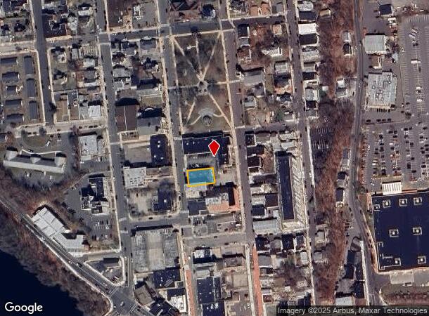
87 Elizabeth St
DERB-000008-000005-000073
New Haven
Restaurantbuilding
Connecticut
X
73
09009C0404J
0.15 AC
2025
Ansonia
2025
Westchester/So Connecticut
120200
New Haven, CT
4,764 SF
DEMOGRAPHICS near 87 Elizabeth St
1 mile
3 mile
5 mile
2024 Total Population
13,643
56,002
99,852
2029 Population
13,645
55,942
99,959
Pop Growth 2024-2029
+ 0.01%
(0.11%)
+ 0.11%
Average Age
40
42
43
2024 Total Households
6,082
23,173
39,778
HH Growth 2024-2029
(0.02%)
(0.17%)
+ 0.06%
Median Household Inc
$61,002
$76,512
$93,725
Avg Household Size
2.20
2.40
2.50
2024 Avg HH Vehicles
2.00
2.00
2.00
Median Home Value
$246,193
$285,759
$346,547
Median Year Built
1960
1964
1968
Nearby Places
Map Layers
Map Styles
 Street
 Aerial
Transit
 Traffic
 Biking
Places
Listings with unknown addresses are not visible on the map
- Restaurants
- Banks
- Shops
- Fitness
- Groceries
PUBLIC TRANSPORTATION
TRANSIT/SUBWAY
Derby-Shelton Station (New Haven Line - Metro-North Commuter Railroad Company (Metro-North))
Drive
Walk
Distance
Derby-Shelton Station (New Haven Line - Metro-North Commuter Railroad Company (Metro-North))
2 min
10 min
0.4 mi
COMMUTER RAIL
Derby-Shelton Station (New Haven Line - Metro-North Commuter Railroad Company (Metro-North))
Drive
Walk
Distance
Derby-Shelton Station (New Haven Line - Metro-North Commuter Railroad Company (Metro-North))
2 min
8 min
0.4 mi
Ansonia Station (New Haven Line - Metro-North Commuter Railroad Company (Metro-North))
Drive
Walk
Distance
Ansonia Station (New Haven Line - Metro-North Commuter Railroad Company (Metro-North))
5 min
1.9 mi
AIRPORT
Tweed/New Haven
Drive
Walk
Distance
Tweed/New Haven
26 min
14.0 mi
Westchester County
Drive
Walk
Distance
Westchester County
64 min
45.2 mi
Freight Ports
Port of New Haven
Drive
Walk
Distance
Port of New Haven
20 min
11.9 mi
Nearby Properties
Address
Land Use
TOTAL SIZE
Lot Size
Zoning
Address
Land Use
TOTAL SIZE
Lot Size
Zoning
68,102 SF
4.44 AC
IB-2
Address
Land Use
TOTAL SIZE
Lot Size
Zoning
1,444 SF
50.40 AC
R-1
Address
Land Use
TOTAL SIZE
Lot Size
Zoning
4,320 SF
29.27 AC
R-1
Address
Land Use
TOTAL SIZE
Lot Size
Zoning
172,324 SF
46.29 AC
R-1
Address
Land Use
TOTAL SIZE
Lot Size
Zoning
166,388 SF
58 AC
A
Address
Land Use
TOTAL SIZE
Lot Size
Zoning
249,462 SF
21.79 AC
IB-1
Address
Land Use
TOTAL SIZE
Lot Size
Zoning
11.73 AC
CB-1
Address
Land Use
TOTAL SIZE
Lot Size
Zoning
122,278 SF
14 AC
A
Address
Land Use
TOTAL SIZE
Lot Size
Zoning
52.09 AC
P
Address
Land Use
TOTAL SIZE
Lot Size
Zoning
300,288 SF
12.50 AC
PDD2
Address
Land Use
TOTAL SIZE
Lot Size
Zoning
156,893 SF
15.46 AC
IB-1
Address
Land Use
TOTAL SIZE
Lot Size
Zoning
38,411 SF
4.49 AC
I-1
Address
Land Use
TOTAL SIZE
Lot Size
Zoning
11,028 SF
16.50 AC
Address
Land Use
TOTAL SIZE
Lot Size
Zoning
123,860 SF
15.96 AC
PDD
Address
Land Use
TOTAL SIZE
Lot Size
Zoning
107,130 SF
0.53 AC
CB-2
Address
Land Use
TOTAL SIZE
Lot Size
Zoning
107,356 SF
9.23 AC
IB-1
Address
Land Use
TOTAL SIZE
Lot Size
Zoning
14.80 AC
C
Address
Land Use
TOTAL SIZE
Lot Size
Zoning
83,675 SF
4.65 AC
A
Address
Land Use
TOTAL SIZE
Lot Size
Zoning
123,590 SF
3.65 AC
PDD6
Address
Land Use
TOTAL SIZE
Lot Size
Zoning
110,545 SF
4.20 AC
B
Address
Land Use
TOTAL SIZE
Lot Size
Zoning
128,185 SF
9.20 AC
HI
Address
Land Use
TOTAL SIZE
Lot Size
Zoning
138,448 SF
10.05 AC
IB-1
Address
Land Use
TOTAL SIZE
Lot Size
Zoning
60,256 SF
24.66 AC
LIP
Address
Land Use
TOTAL SIZE
Lot Size
Zoning
11.15 AC
PDD1
Address
Land Use
TOTAL SIZE
Lot Size
Zoning
52,432 SF
20.20 AC
R-1
Address
Land Use
TOTAL SIZE
Lot Size
Zoning
7,264 SF
12.61 AC
R-1
Address
Land Use
TOTAL SIZE
Lot Size
Zoning
91,368 SF
9.47 AC
IB-1
Address
Land Use
TOTAL SIZE
Lot Size
Zoning
16.30 AC
B-1
Address
Land Use
TOTAL SIZE
Lot Size
Zoning
91,440 SF
9.36 AC
PDD2
Address
Land Use
TOTAL SIZE
Lot Size
Zoning
49,237 SF
34 AC
R-1
The World's #1 Commercial Real Estate Marketplace
Connect with us
© 2026 CoStar Group
The information above has been obtained from sources believed reliable. While we do not doubt its accuracy we have not verified it and make no guarantee, warranty or representation about it. It is your responsibility to independently confirm its accuracy and completeness. Any projections, opinions, assumptions, or estimates used are for example only and do not represent the current or future performance of the property. The value of this transaction to you depends on tax and other factors which should be evaluated by your tax, financial, and legal advisors. You and your advisors should conduct a careful, independent investigation of the property to determine to your satisfaction the suitability of the property for your needs.