Property Record
870 Violet Ave, Hyde Park, NY 12538
NEARBY LISTINGS FOR SALE OR LEASE
Property Detail
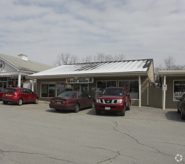
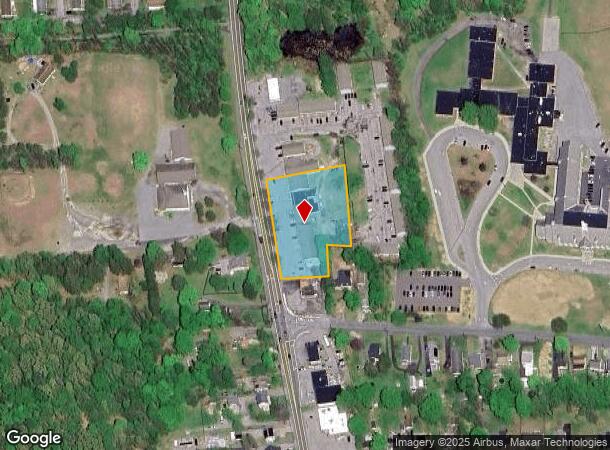
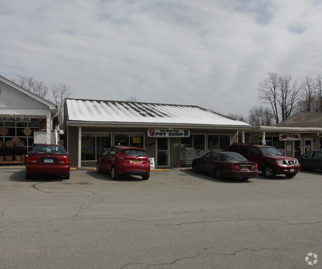
870 Violet Ave
133200-6164-02-562583-0000
1.45 AC 1616 0576 1547 0439
Regionalshoppingcenterormallwithanchorstore
Dutchess
X
New York
36027C0268E
562
2025
1.45 AC
2024
Fishkill
070301
Westchester/So Connecticut
12,178 SF
Dutchess County-Putnam County, NY
DEMOGRAPHICS near 870 Violet Ave
1 Mile
3 Mile
5 Mile
2024 Total Population
2,709
17,486
62,445
2029 Population
2,707
17,493
62,572
Pop Growth 2024-2029
(0.07%)
+ 0.04%
+ 0.20%
Average Age
45
42
40
2024 Total Households
1,138
6,499
23,793
HH Growth 2024-2029
(0.18%)
(0.03%)
+ 0.27%
Median Household Inc
$85,750
$81,547
$67,150
Avg Household Size
2.30
2.30
2.30
2024 Avg HH Vehicles
2.00
2.00
2.00
Median Home Value
$256,574
$267,116
$264,468
Median Year Built
1967
1967
1967
Nearby Places
- Restaurants
- Banks
- Shops
- Fitness
- Groceries
PUBLIC TRANSPORTATION
COMMUTER RAIL
Poughkeepsie Station (Hudson Line - Metro-North Commuter Railroad Company (Metro-North))
DRIVE
WALK
Distance
Poughkeepsie Station (Hudson Line - Metro-North Commuter Railroad Company (Metro-North))
10 min
5.9 mi
AIRPORT
New York Stewart International
DRIVE
WALK
Distance
New York Stewart International
43 min
29.2 mi
Freight Ports
Albany, NY Port
DRIVE
WALK
Distance
Albany, NY Port
92 min
65.8 mi
Nearby Properties
Address
Land Use
TOTAL SIZE
Lot Size
Zoning
Address
Land Use
TOTAL SIZE
Lot Size
Zoning
317,644 SF
35.25 AC
CIA
Address
Land Use
TOTAL SIZE
Lot Size
Zoning
12,638 SF
159.73 AC
R2A
Address
Land Use
TOTAL SIZE
Lot Size
Zoning
162.70 AC
R20
Address
Land Use
TOTAL SIZE
Lot Size
Zoning
15.50 AC
N
Address
Land Use
TOTAL SIZE
Lot Size
Zoning
120,508 SF
30.85 AC
IN
Address
Land Use
TOTAL SIZE
Lot Size
Zoning
830,000 SF
3.49 AC
Address
Land Use
TOTAL SIZE
Lot Size
Zoning
5,665 SF
510.60 AC
R40
Address
Land Use
TOTAL SIZE
Lot Size
Zoning
53,841 SF
195.70 AC
WF
Address
Land Use
TOTAL SIZE
Lot Size
Zoning
169,527 SF
56.30 AC
N
Address
Land Use
TOTAL SIZE
Lot Size
Zoning
Address
Land Use
TOTAL SIZE
Lot Size
Zoning
59,792 SF
2.70 AC
CIA
Address
Land Use
TOTAL SIZE
Lot Size
Zoning
110,261 SF
61.27 AC
GB
Address
Land Use
TOTAL SIZE
Lot Size
Zoning
59,424 SF
15.41 AC
TCHD
Address
Land Use
TOTAL SIZE
Lot Size
Zoning
132,561 SF
15 AC
TCHD
Address
Land Use
TOTAL SIZE
Lot Size
Zoning
21,440 SF
33.20 AC
WF
Address
Land Use
TOTAL SIZE
Lot Size
Zoning
64,945 SF
104.77 AC
GB
Address
Land Use
TOTAL SIZE
Lot Size
Zoning
108,714 SF
64.17 AC
N
Address
Land Use
TOTAL SIZE
Lot Size
Zoning
59,188 SF
75.08 AC
GB
Address
Land Use
TOTAL SIZE
Lot Size
Zoning
46,148 SF
22.90 AC
RA
Address
Land Use
TOTAL SIZE
Lot Size
Zoning
49,334 SF
16.30 AC
WF
Address
Land Use
TOTAL SIZE
Lot Size
Zoning
47,524 SF
13 AC
N
Address
Land Use
TOTAL SIZE
Lot Size
Zoning
62,402 SF
9.10 AC
N
Address
Land Use
TOTAL SIZE
Lot Size
Zoning
45,912 SF
0.63 AC
CIA
Address
Land Use
TOTAL SIZE
Lot Size
Zoning
21,464 SF
7.69 AC
EPBD
Address
Land Use
TOTAL SIZE
Lot Size
Zoning
6,100 SF
2.56 AC
RM
Address
Land Use
TOTAL SIZE
Lot Size
Zoning
123,407 SF
7.71 AC
NC
Address
Land Use
TOTAL SIZE
Lot Size
Zoning
100 SF
159.53 AC
R2A
Address
Land Use
TOTAL SIZE
Lot Size
Zoning
11,483 SF
15.25 AC
NC
Address
Land Use
TOTAL SIZE
Lot Size
Zoning
17,531 SF
176.08 AC
GB
Address
Land Use
TOTAL SIZE
Lot Size
Zoning
30,114 SF
23.40 AC
WF
The World's #1 Commercial Real Estate Marketplace
Connect with us
© 2025 CoStar Group
The information above has been obtained from sources believed reliable. While we do not doubt its accuracy we have not verified it and make no guarantee, warranty or representation about it. It is your responsibility to independently confirm its accuracy and completeness. Any projections, opinions, assumptions, or estimates used are for example only and do not represent the current or future performance of the property. The value of this transaction to you depends on tax and other factors which should be evaluated by your tax, financial, and legal advisors. You and your advisors should conduct a careful, independent investigation of the property to determine to your satisfaction the suitability of the property for your needs.