Property Record
8737 Todd Rd, Charlotte, NC 28214


NEARBY LISTINGS FOR SALE OR LEASE
Property Detail
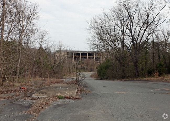
8737 Todd Rd
055-521-01
M1580-543 PLUS ABANDONED R/W
Industrialgeneral
Mecklenburg
AE
North Carolina
3710451400K
1
2022
89.50 AC
2025
Airport/West
005919
Charlotte
625,790 SF
Charlotte-Concord-Gastonia, NC-SC
DEMOGRAPHICS near 8737 Todd Rd
1 mile
3 mile
5 mile
2024 Total Population
1,542
31,169
106,051
2029 Population
1,609
33,287
113,674
Pop Growth 2024-2029
+ 4.35%
+ 6.80%
+ 7.19%
Average Age
37
37
37
2024 Total Households
535
11,214
41,074
HH Growth 2024-2029
+ 4.49%
+ 6.93%
+ 7.41%
Median Household Inc
$46,250
$60,091
$56,430
Avg Household Size
2.80
2.70
2.50
2024 Avg HH Vehicles
2.00
2.00
2.00
Median Home Value
$161,244
$188,263
$219,301
Median Year Built
1971
1987
1990
Nearby Places
Map Layers
Map Styles
 Street
 Aerial
Transit
 Traffic
 Biking
Places
Listings with unknown addresses are not visible on the map
- Restaurants
- Banks
- Shops
- Fitness
- Groceries
PUBLIC TRANSPORTATION
COMMUTER RAIL
Charlotte Amtrak Station (Carolinian - Amtrak, Crescent - Amtrak, Piedmont - Amtrak)
Drive
Walk
Distance
Charlotte Amtrak Station (Carolinian - Amtrak, Crescent - Amtrak, Piedmont - Amtrak)
16 min
9.0 mi
AIRPORT
Charlotte/Douglas International
Drive
Walk
Distance
Charlotte/Douglas International
12 min
2.9 mi
Concord-Padgett Regional
Drive
Walk
Distance
Concord-Padgett Regional
28 min
21.7 mi
Freight Ports
North Charleston Terminal
Drive
Walk
Distance
North Charleston Terminal
227 min
200.5 mi
Nearby Properties
Address
Land Use
TOTAL SIZE
Lot Size
Zoning
Address
Land Use
TOTAL SIZE
Lot Size
Zoning
5,290,257 SF
502.52 AC
I2
Address
Land Use
TOTAL SIZE
Lot Size
Zoning
309.30 AC
I-2
Address
Land Use
TOTAL SIZE
Lot Size
Zoning
1,519,630 SF
235.59 AC
I2
Address
Land Use
TOTAL SIZE
Lot Size
Zoning
621,107 SF
250.06 AC
I2
Address
Land Use
TOTAL SIZE
Lot Size
Zoning
100.51 AC
I-2
Address
Land Use
TOTAL SIZE
Lot Size
Zoning
863,490 SF
93.41 AC
Address
Land Use
TOTAL SIZE
Lot Size
Zoning
416,720 SF
81 AC
I2
Address
Land Use
TOTAL SIZE
Lot Size
Zoning
64,619 SF
15.01 AC
R5
Address
Land Use
TOTAL SIZE
Lot Size
Zoning
70.83 AC
I-2
Address
Land Use
TOTAL SIZE
Lot Size
Zoning
568,252 SF
56.05 AC
I-1(CD)
Address
Land Use
TOTAL SIZE
Lot Size
Zoning
242,699 SF
20.50 AC
R17MF
Address
Land Use
TOTAL SIZE
Lot Size
Zoning
892,468 SF
14.48 AC
I2
Address
Land Use
TOTAL SIZE
Lot Size
Zoning
394,084 SF
29.35 AC
Address
Land Use
TOTAL SIZE
Lot Size
Zoning
238,075 SF
9.52 AC
Address
Land Use
TOTAL SIZE
Lot Size
Zoning
503,550 SF
59.24 AC
I-1(CD)
Address
Land Use
TOTAL SIZE
Lot Size
Zoning
250,079 SF
52.97 AC
R3
Address
Land Use
TOTAL SIZE
Lot Size
Zoning
536,042 SF
37.24 AC
R-22MF
Address
Land Use
TOTAL SIZE
Lot Size
Zoning
227 AC
I-2
Address
Land Use
TOTAL SIZE
Lot Size
Zoning
170,968 SF
18.52 AC
I-2
Address
Land Use
TOTAL SIZE
Lot Size
Zoning
375,022 SF
32.47 AC
Address
Land Use
TOTAL SIZE
Lot Size
Zoning
471,960 SF
61.08 AC
Address
Land Use
TOTAL SIZE
Lot Size
Zoning
125,142 SF
17.67 AC
INSTCD
Address
Land Use
TOTAL SIZE
Lot Size
Zoning
351,824 SF
20.17 AC
I-1(CD)
Address
Land Use
TOTAL SIZE
Lot Size
Zoning
46,255 SF
174 AC
I-2
Address
Land Use
TOTAL SIZE
Lot Size
Zoning
164,140 SF
11.81 AC
I-1
Address
Land Use
TOTAL SIZE
Lot Size
Zoning
208,460 SF
23.20 AC
I-1(CD)
Address
Land Use
TOTAL SIZE
Lot Size
Zoning
6.76 AC
R-22MF
Address
Land Use
TOTAL SIZE
Lot Size
Zoning
251,672 SF
26.13 AC
I1CD
Address
Land Use
TOTAL SIZE
Lot Size
Zoning
260,575 SF
17 AC
I-1(CD)
The World's #1 Commercial Real Estate Marketplace
Connect with us
© 2026 CoStar Group
The information above has been obtained from sources believed reliable. While we do not doubt its accuracy we have not verified it and make no guarantee, warranty or representation about it. It is your responsibility to independently confirm its accuracy and completeness. Any projections, opinions, assumptions, or estimates used are for example only and do not represent the current or future performance of the property. The value of this transaction to you depends on tax and other factors which should be evaluated by your tax, financial, and legal advisors. You and your advisors should conduct a careful, independent investigation of the property to determine to your satisfaction the suitability of the property for your needs.