Property Record
8750 Resource Park Dr, Sylvania, OH 43560
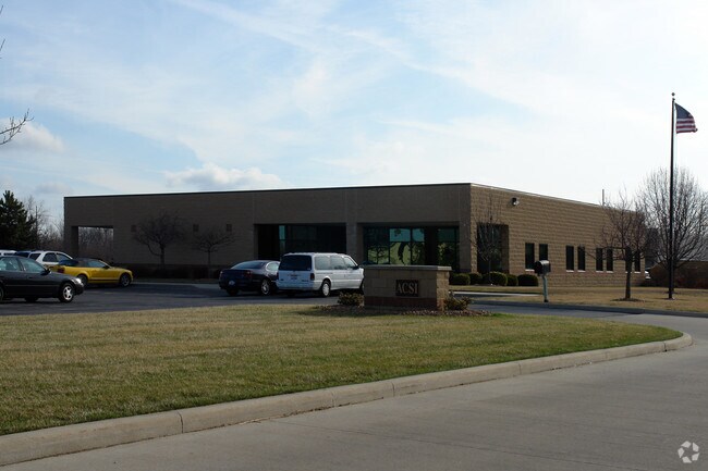


Property Detail
8750 Resource Park Dr
79-72517
SYLVANIA RESOURCE PARK PLA T 1 LOT 3
Officebuilding
Lucas
20-M2
Ohio
C and X Area of minimal flood hazard, usually depicted on FIRMs as above the 500-year flood level.
3
0
1 AC
2025
West/Sylvania
009204
Toledo
10,337 SF
Toledo, OH
NEARBY LISTINGS FOR SALE OR LEASE
DEMOGRAPHICS near 8750 Resource Park Dr
1 mile
3 mile
5 mile
2025 Total Population
1,115
31,023
72,962
2030 Population
1,134
30,632
71,988
Pop Growth 2025-2030
+ 1.70%
(1.26%)
(1.33%)
Average Age
41
42
42
2025 Total Households
410
11,611
29,969
HH Growth 2025-2030
+ 1.71%
(1.27%)
(1.28%)
Median Household Inc
$154,430
$136,901
$94,557
Avg Household Size
2.70
2.60
2.40
2025 Avg HH Vehicles
2.00
2.00
2.00
Median Home Value
$385,768
$321,060
$267,846
Median Year Built
2004
1988
1981
Nearby Places
Map Layers
Map Styles
 Street
 Aerial
Layers
 Traffic
 Biking
Places
Listings with unknown addresses are not visible on the map
- Restaurants
- Banks
- Shops
- Fitness
- Groceries
PUBLIC TRANSPORTATION
AIRPORT
Eugene F Kranz Toledo Express
Drive
Walk
Distance
Eugene F Kranz Toledo Express
26 min
12.9 mi
Freight Ports
Drive
Walk
Distance
35 min
19.9 mi
Nearby Properties
Address
Land Use
TOTAL SIZE
Lot Size
Zoning
Address
Land Use
TOTAL SIZE
Lot Size
Zoning
238,200 SF
32.90 AC
31-R1
Address
Land Use
TOTAL SIZE
Lot Size
Zoning
209,351 SF
49.06 AC
31-R1
Address
Land Use
TOTAL SIZE
Lot Size
Zoning
78,678 SF
10.20 AC
31-R1
Address
Land Use
TOTAL SIZE
Lot Size
Zoning
89,031 SF
15.83 AC
31-M2
Address
Land Use
TOTAL SIZE
Lot Size
Zoning
101,635 SF
34.34 AC
20-S1
Address
Land Use
TOTAL SIZE
Lot Size
Zoning
130,387 SF
8.50 AC
20-R5
Address
Land Use
TOTAL SIZE
Lot Size
Zoning
217,992 SF
39.78 AC
20-C2
Address
Land Use
TOTAL SIZE
Lot Size
Zoning
137,081 SF
12 AC
20-C2
Address
Land Use
TOTAL SIZE
Lot Size
Zoning
119,804 SF
5.02 AC
31-R4
Address
Land Use
TOTAL SIZE
Lot Size
Zoning
102,800 SF
23.01 AC
20-R4
Address
Land Use
TOTAL SIZE
Lot Size
Zoning
70,550 SF
8.25 AC
31-B1
Address
Land Use
TOTAL SIZE
Lot Size
Zoning
36,153 SF
4.43 AC
20-C2
Address
Land Use
TOTAL SIZE
Lot Size
Zoning
74,418 SF
33.17 AC
20-A3
Address
Land Use
TOTAL SIZE
Lot Size
Zoning
130,168 SF
12 AC
31-R2
Address
Land Use
TOTAL SIZE
Lot Size
Zoning
43,755 SF
9.02 AC
20-R4PUD
Address
Land Use
TOTAL SIZE
Lot Size
Zoning
70,483 SF
8.53 AC
31-R1
Address
Land Use
TOTAL SIZE
Lot Size
Zoning
122,154 SF
10.62 AC
20-MX
Address
Land Use
TOTAL SIZE
Lot Size
Zoning
77,161 SF
19.71 AC
34-AR
Address
Land Use
TOTAL SIZE
Lot Size
Zoning
65,182 SF
8.40 AC
19-PO
Address
Land Use
TOTAL SIZE
Lot Size
Zoning
121,446 SF
8.87 AC
20-MX
Address
Land Use
TOTAL SIZE
Lot Size
Zoning
50,394 SF
4.64 AC
20-A3
Address
Land Use
TOTAL SIZE
Lot Size
Zoning
50,394 SF
3.79 AC
20-MX
Address
Land Use
TOTAL SIZE
Lot Size
Zoning
58,149 SF
6.90 AC
20-R4PUD
Address
Land Use
TOTAL SIZE
Lot Size
Zoning
79,516 SF
19.85 AC
31-R1
Address
Land Use
TOTAL SIZE
Lot Size
Zoning
46,656 SF
5.60 AC
20-C2
Address
Land Use
TOTAL SIZE
Lot Size
Zoning
79,149 SF
4.35 AC
31-R4
Address
Land Use
TOTAL SIZE
Lot Size
Zoning
92,731 SF
7 AC
31-B2
Address
Land Use
TOTAL SIZE
Lot Size
Zoning
95,467 SF
7.65 AC
31-R3
Address
Land Use
TOTAL SIZE
Lot Size
Zoning
80,351 SF
44.65 AC
20-A3
Address
Land Use
TOTAL SIZE
Lot Size
Zoning
92,576 SF
8.42 AC
19-R3
The World's #1 Commercial Real Estate Marketplace
Connect with us
© 2026 CoStar Group
The information above has been obtained from sources believed reliable. While we do not doubt its accuracy we have not verified it and make no guarantee, warranty or representation about it. It is your responsibility to independently confirm its accuracy and completeness. Any projections, opinions, assumptions, or estimates used are for example only and do not represent the current or future performance of the property. The value of this transaction to you depends on tax and other factors which should be evaluated by your tax, financial, and legal advisors. You and your advisors should conduct a careful, independent investigation of the property to determine to your satisfaction the suitability of the property for your needs.