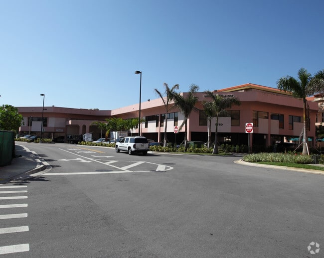
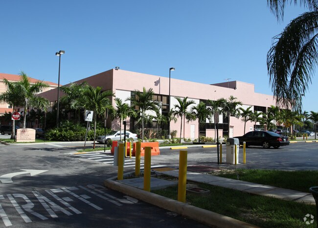
Property Record
8780 Sw 92Nd St, Miami, FL 33176


NEARBY LISTINGS FOR SALE OR LEASE
Property Detail
8780 Sw 92Nd St
30-5004-046-0010
Bhm East Campus Expansion
Hospitalpublic
BHM EAST CAMPUS EXPANSION PB 165-047 T-22385 TRACT A LESS BEG AT WEST END OF S R/W/L TH N 87 DEG E 218.95FT SELY AD 42.01FT SLY AD 4.93FT NWLY AD 41.91FT S 87 DEG W 218.41FT N 02 DEG W 5FT TO POB FOR R/W LOT SIZE 388158 SQ FT M/L COC 23508-3913 06 20
AH
Miami/Dade
12086C0462L
Florida
2024
8.91 AC
2025
Kendall
008429
South Florida
766,093 SF
Miami-Miami Beach-Kendall, FL
DEMOGRAPHICS near 8780 Sw 92Nd St
1 Mile
3 Mile
5 Mile
2024 Total Population
10,324
116,132
322,271
2029 Population
10,090
113,154
313,549
Pop Growth 2024-2029
(2.27%)
(2.56%)
(2.71%)
Average Age
43
43
43
2024 Total Households
3,770
44,854
113,706
HH Growth 2024-2029
(2.65%)
(2.82%)
(3.00%)
Median Household Inc
$114,418
$82,471
$80,052
Avg Household Size
2.60
2.50
2.70
2024 Avg HH Vehicles
2.00
2.00
2.00
Median Home Value
$712,906
$504,325
$453,126
Median Year Built
1972
1975
1975
Nearby Places
Map Layers
Map Styles
 Street
 Aerial
- Restaurants
- Banks
- Shops
- Fitness
- Groceries
PUBLIC TRANSPORTATION
COMMUTER RAIL
Dadeland South (Metrorail Green Line - Miami-Dade Transit (Metrorail/Metromover))
DRIVE
WALK
Distance
Dadeland South (Metrorail Green Line - Miami-Dade Transit (Metrorail/Metromover))
4 min
1.9 mi
Dadeland North (Metrorail Green Line - Miami-Dade Transit (Metrorail/Metromover))
DRIVE
WALK
Distance
Dadeland North (Metrorail Green Line - Miami-Dade Transit (Metrorail/Metromover))
5 min
3.0 mi
AIRPORT
Miami International
DRIVE
WALK
Distance
Miami International
22 min
11.4 mi
Fort Lauderdale/Hollywood International
DRIVE
WALK
Distance
Fort Lauderdale/Hollywood International
53 min
34.5 mi
Nearby Properties
Address
Land Use
TOTAL SIZE
Lot Size
Zoning
Address
Land Use
TOTAL SIZE
Lot Size
Zoning
2,238,641 SF
39 AC
6114
Address
Land Use
TOTAL SIZE
Lot Size
Zoning
1,018,683 SF
11.46 AC
5000
Address
Land Use
TOTAL SIZE
Lot Size
Zoning
1,527,515 SF
55.17 AC
5000
Address
Land Use
TOTAL SIZE
Lot Size
Zoning
877,136 SF
2.96 AC
6112
Address
Land Use
TOTAL SIZE
Lot Size
Zoning
1,335,151 SF
180 AC
0100
Address
Land Use
TOTAL SIZE
Lot Size
Zoning
764,501 SF
1.81 AC
6114
Address
Land Use
TOTAL SIZE
Lot Size
Zoning
644,929 SF
1.10 AC
6114
Address
Land Use
TOTAL SIZE
Lot Size
Zoning
846,804 SF
43 AC
6400
Address
Land Use
TOTAL SIZE
Lot Size
Zoning
634,144 SF
3.12 AC
6114
Address
Land Use
TOTAL SIZE
Lot Size
Zoning
521,667 SF
1.08 AC
6112
Address
Land Use
TOTAL SIZE
Lot Size
Zoning
532,779 SF
0000
Address
Land Use
TOTAL SIZE
Lot Size
Zoning
859,337 SF
0.13 AC
7100
Address
Land Use
TOTAL SIZE
Lot Size
Zoning
333,947 SF
21.32 AC
6400
Address
Land Use
TOTAL SIZE
Lot Size
Zoning
199,915 SF
15.19 AC
6200
Address
Land Use
TOTAL SIZE
Lot Size
Zoning
452,547 SF
0.90 AC
6114
Address
Land Use
TOTAL SIZE
Lot Size
Zoning
705,929 SF
7.05 AC
9600
Address
Land Use
TOTAL SIZE
Lot Size
Zoning
553,491 SF
10.64 AC
3900
Address
Land Use
TOTAL SIZE
Lot Size
Zoning
370,938 SF
1.58 AC
6112
Address
Land Use
TOTAL SIZE
Lot Size
Zoning
277,025 SF
0.01 AC
6114
Address
Land Use
TOTAL SIZE
Lot Size
Zoning
129,079 SF
4 AC
6114
Address
Land Use
TOTAL SIZE
Lot Size
Zoning
350,948 SF
22.42 AC
3800
Address
Land Use
TOTAL SIZE
Lot Size
Zoning
401,432 SF
4.63 AC
6111
Address
Land Use
TOTAL SIZE
Lot Size
Zoning
114,879 SF
7.60 AC
6114
Address
Land Use
TOTAL SIZE
Lot Size
Zoning
196,806 SF
158.17 AC
8900
Address
Land Use
TOTAL SIZE
Lot Size
Zoning
540,778 SF
0.01 AC
6114
Address
Land Use
TOTAL SIZE
Lot Size
Zoning
367,374 SF
9.89 AC
8900
Address
Land Use
TOTAL SIZE
Lot Size
Zoning
313,755 SF
5 AC
2300
Address
Land Use
TOTAL SIZE
Lot Size
Zoning
183,845 SF
18.77 AC
5000
Address
Land Use
TOTAL SIZE
Lot Size
Zoning
276,202 SF
13.46 AC
3800
The World's #1 Commercial Real Estate Marketplace
Connect with us
© 2025 CoStar Group
The information above has been obtained from sources believed reliable. While we do not doubt its accuracy we have not verified it and make no guarantee, warranty or representation about it. It is your responsibility to independently confirm its accuracy and completeness. Any projections, opinions, assumptions, or estimates used are for example only and do not represent the current or future performance of the property. The value of this transaction to you depends on tax and other factors which should be evaluated by your tax, financial, and legal advisors. You and your advisors should conduct a careful, independent investigation of the property to determine to your satisfaction the suitability of the property for your needs.