Property Record
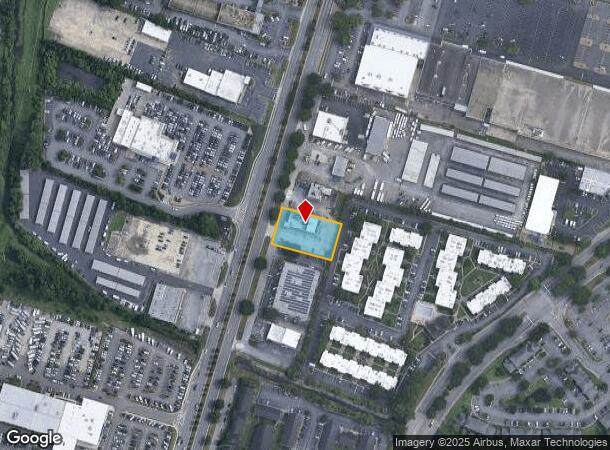
8840 Abercorn St, Savannah, GA 31406


NEARBY LISTINGS FOR SALE OR LEASE
Property Detail
8840 Abercorn St
Savannah, GA
Tri Roads Sub
2058903005
LOT 3 TRI ROADS SUB
Restaurantbuilding
Chatham
X
Georgia
13051C0257G
3
2024
0.61 AC
2025
Greater Savannah
004210
Savannah
6,920 SF
DEMOGRAPHICS near 8840 Abercorn St
1 Mile
3 Mile
5 Mile
2024 Total Population
10,127
48,905
117,654
2029 Population
10,504
50,443
121,873
Pop Growth 2024-2029
+ 3.72%
+ 3.14%
+ 3.59%
Average Age
37
39
40
2024 Total Households
4,377
20,195
48,063
HH Growth 2024-2029
+ 3.79%
+ 3.24%
+ 3.77%
Median Household Inc
$50,138
$53,344
$54,662
Avg Household Size
2.20
2.20
2.30
2024 Avg HH Vehicles
1.00
2.00
2.00
Median Home Value
$144,920
$181,297
$199,829
Median Year Built
1980
1977
1972
Nearby Places
Map Layers
Map Styles
 Street
 Aerial
- Restaurants
- Banks
- Shops
- Fitness
- Groceries
PUBLIC TRANSPORTATION
AIRPORT
Savannah/Hilton Head International
DRIVE
WALK
Distance
Savannah/Hilton Head International
23 min
16.0 mi
Freight Ports
Georgia Ports - Savannah
DRIVE
WALK
Distance
Georgia Ports - Savannah
1 min
9.0 mi
SALE & LEASE HISTORY
LISTING DATE
SALE/LEASE

Oct 31, 2017
For Lease
Nearby Properties
Address
Land Use
TOTAL SIZE
Lot Size
Zoning
Address
Land Use
TOTAL SIZE
Lot Size
Zoning
19,432 SF
214.77 AC
R3
Address
Land Use
TOTAL SIZE
Lot Size
Zoning
70.49 AC
M
Address
Land Use
TOTAL SIZE
Lot Size
Zoning
0.12 AC
R6
Address
Land Use
TOTAL SIZE
Lot Size
Zoning
565,144 SF
19.74 AC
I-P
Address
Land Use
TOTAL SIZE
Lot Size
Zoning
559,705 SF
44.25 AC
BC
Address
Land Use
TOTAL SIZE
Lot Size
Zoning
100 SF
15.62 AC
RM25
Address
Land Use
TOTAL SIZE
Lot Size
Zoning
18,138 SF
12.80 AC
RM25
Address
Land Use
TOTAL SIZE
Lot Size
Zoning
16,896 SF
11.32 AC
IP
Address
Land Use
TOTAL SIZE
Lot Size
Zoning
8,480 SF
16.50 AC
PUDM25
Address
Land Use
TOTAL SIZE
Lot Size
Zoning
7,344 SF
13.09 AC
RM25
Address
Land Use
TOTAL SIZE
Lot Size
Zoning
14,249 SF
14.92 AC
BC
Address
Land Use
TOTAL SIZE
Lot Size
Zoning
8,064 SF
14.70 AC
RM25
Address
Land Use
TOTAL SIZE
Lot Size
Zoning
59.65 AC
RIP
Address
Land Use
TOTAL SIZE
Lot Size
Zoning
13,920 SF
14.50 AC
RM25
Address
Land Use
TOTAL SIZE
Lot Size
Zoning
85,606 SF
16.30 AC
BC
Address
Land Use
TOTAL SIZE
Lot Size
Zoning
2,226 SF
67.62 AC
IP
Address
Land Use
TOTAL SIZE
Lot Size
Zoning
34,945 SF
18.22 AC
I-P
Address
Land Use
TOTAL SIZE
Lot Size
Zoning
297,627 SF
28.63 AC
PUDIS
Address
Land Use
TOTAL SIZE
Lot Size
Zoning
2,033 SF
45.50 AC
R1
Address
Land Use
TOTAL SIZE
Lot Size
Zoning
15,792 SF
10.50 AC
I-P
Address
Land Use
TOTAL SIZE
Lot Size
Zoning
5,452 SF
5.81 AC
RM25
Address
Land Use
TOTAL SIZE
Lot Size
Zoning
17.78 AC
R1
Address
Land Use
TOTAL SIZE
Lot Size
Zoning
7,500 SF
0.92 AC
RIP
Address
Land Use
TOTAL SIZE
Lot Size
Zoning
79,092 SF
1.18 AC
BC
Address
Land Use
TOTAL SIZE
Lot Size
Zoning
99,599 SF
13.50 AC
R1
Address
Land Use
TOTAL SIZE
Lot Size
Zoning
6,812 SF
9.48 AC
RM25
Address
Land Use
TOTAL SIZE
Lot Size
Zoning
6,296 SF
15.09 AC
PUDM15
Address
Land Use
TOTAL SIZE
Lot Size
Zoning
10,200 SF
12.79 AC
RM25
Address
Land Use
TOTAL SIZE
Lot Size
Zoning
7,256 SF
8.73 AC
RM25
Address
Land Use
TOTAL SIZE
Lot Size
Zoning
101,262 SF
1.79 AC
BC
The World's #1 Commercial Real Estate Marketplace
Connect with us
© 2025 CoStar Group
The information above has been obtained from sources believed reliable. While we do not doubt its accuracy we have not verified it and make no guarantee, warranty or representation about it. It is your responsibility to independently confirm its accuracy and completeness. Any projections, opinions, assumptions, or estimates used are for example only and do not represent the current or future performance of the property. The value of this transaction to you depends on tax and other factors which should be evaluated by your tax, financial, and legal advisors. You and your advisors should conduct a careful, independent investigation of the property to determine to your satisfaction the suitability of the property for your needs.