Property Record
8885 Columbia Rd, Olmsted Falls, OH 44138
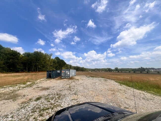
This Property Is For Sale
NEARBY LISTINGS FOR SALE OR LEASE
Property Detail
8885 Columbia Rd
Cleveland
Olmsted Dev Co
Cleveland-Elyria, OH
BLOCK A AFN 202412190335
291-20-001
Cuyahoga
Miscellaneous
Ohio
0
21.73 AC
2024
Southwest
474 SF
DEMOGRAPHICS near 8885 Columbia Rd
1 Mile
3 Mile
5 Mile
2024 Total Population
5,435
47,363
109,191
2029 Population
5,347
46,583
107,620
Pop Growth 2024-2029
(1.62%)
(1.65%)
(1.44%)
Average Age
44
43
44
2024 Total Households
2,299
19,505
45,787
HH Growth 2024-2029
(1.96%)
(1.80%)
(1.67%)
Median Household Inc
$86,671
$90,964
$86,960
Avg Household Size
2.30
2.30
2.30
2024 Avg HH Vehicles
2.00
2.00
2.00
Median Home Value
$238,899
$253,819
$246,216
Median Year Built
1975
1975
1972
Nearby Places
Map Layers
Map Styles
 Street
 Aerial
- Restaurants
- Banks
- Shops
- Fitness
- Groceries
PUBLIC TRANSPORTATION
AIRPORT
Cleveland-Hopkins International
DRIVE
WALK
Distance
Cleveland-Hopkins International
16 min
7.1 mi
Freight Ports
Port of Toledo
DRIVE
WALK
Distance
Port of Toledo
122 min
99.6 mi
Nearby Properties
Address
Land Use
TOTAL SIZE
Lot Size
Zoning
Address
Land Use
TOTAL SIZE
Lot Size
Zoning
1,514 SF
23.65 AC
RSF-B
Address
Land Use
TOTAL SIZE
Lot Size
Zoning
278,056 SF
42.71 AC
R-40
Address
Land Use
TOTAL SIZE
Lot Size
Zoning
299,114 SF
23.65 AC
RSF-B
Address
Land Use
TOTAL SIZE
Lot Size
Zoning
195,990 SF
46.88 AC
RMF-A
Address
Land Use
TOTAL SIZE
Lot Size
Zoning
64,528 SF
17.67 AC
1F-4
Address
Land Use
TOTAL SIZE
Lot Size
Zoning
46,133 SF
35.03 AC
RMF-A
Address
Land Use
TOTAL SIZE
Lot Size
Zoning
209,822 SF
26.92 AC
R-40
Address
Land Use
TOTAL SIZE
Lot Size
Zoning
334,360 SF
8.22 AC
MF-HD
Address
Land Use
TOTAL SIZE
Lot Size
Zoning
130,030 SF
5.69 AC
RMF-A
Address
Land Use
TOTAL SIZE
Lot Size
Zoning
112,629 SF
9.62 AC
RSF-B
Address
Land Use
TOTAL SIZE
Lot Size
Zoning
59,296 SF
7.08 AC
CC
Address
Land Use
TOTAL SIZE
Lot Size
Zoning
19,614 SF
353.71 AC
1F-4
Address
Land Use
TOTAL SIZE
Lot Size
Zoning
141,245 SF
8.90 AC
1F1
Address
Land Use
TOTAL SIZE
Lot Size
Zoning
122,876 SF
5.74 AC
RT
Address
Land Use
TOTAL SIZE
Lot Size
Zoning
179,879 SF
5.34 AC
RMF-A
Address
Land Use
TOTAL SIZE
Lot Size
Zoning
208,960 SF
10.51 AC
MF-MD
Address
Land Use
TOTAL SIZE
Lot Size
Zoning
188,031 SF
16.59 AC
R-40
Address
Land Use
TOTAL SIZE
Lot Size
Zoning
651 SF
0.13 AC
Address
Land Use
TOTAL SIZE
Lot Size
Zoning
54,718 SF
149.12 AC
R-40
Address
Land Use
TOTAL SIZE
Lot Size
Zoning
192.88 AC
PG
Address
Land Use
TOTAL SIZE
Lot Size
Zoning
90,351 SF
9.46 AC
D-5
Address
Land Use
TOTAL SIZE
Lot Size
Zoning
171.19 AC
RSF-B
Address
Land Use
TOTAL SIZE
Lot Size
Zoning
164.79 AC
RSF-B
Address
Land Use
TOTAL SIZE
Lot Size
Zoning
169,524 SF
16.11 AC
U2
Address
Land Use
TOTAL SIZE
Lot Size
Zoning
130,800 SF
38.73 AC
RMF-T
Address
Land Use
TOTAL SIZE
Lot Size
Zoning
91,557 SF
22.50 AC
MUPD
Address
Land Use
TOTAL SIZE
Lot Size
Zoning
64,106 SF
1.29 AC
CC
Address
Land Use
TOTAL SIZE
Lot Size
Zoning
121,778 SF
23.40 AC
D-3
Address
Land Use
TOTAL SIZE
Lot Size
Zoning
148,816 SF
7.95 AC
LI
Address
Land Use
TOTAL SIZE
Lot Size
Zoning
61,251 SF
1.89 AC
D-3
The World's #1 Commercial Real Estate Marketplace
Connect with us
© 2025 CoStar Group
The information above has been obtained from sources believed reliable. While we do not doubt its accuracy we have not verified it and make no guarantee, warranty or representation about it. It is your responsibility to independently confirm its accuracy and completeness. Any projections, opinions, assumptions, or estimates used are for example only and do not represent the current or future performance of the property. The value of this transaction to you depends on tax and other factors which should be evaluated by your tax, financial, and legal advisors. You and your advisors should conduct a careful, independent investigation of the property to determine to your satisfaction the suitability of the property for your needs.