Property Record
890 Roosevelt, Irvine, CA 92620


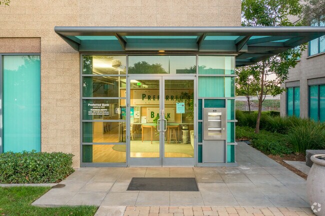
Property Detail
890 Roosevelt
Anaheim-Santa Ana-Irvine, CA
P BK 356 PG 30 PAR 23
529-392-23
ORANGE
Commercialnec
California
B and X Area of moderate flood hazard, usually the area between the limits of the 100-year and 500-year floods.
0.06 AC
2024
Irvine/Tustin Legacy
2025
Orange County (California)
052433
NEARBY LISTINGS FOR SALE OR LEASE
DEMOGRAPHICS near 890 Roosevelt
1 mile
3 mile
5 mile
2025 Total Population
26,222
183,780
377,711
2030 Population
25,669
183,088
380,734
Pop Growth 2025-2030
(2.11%)
(0.38%)
+ 0.80%
Average Age
39
39
38
2025 Total Households
9,195
65,884
136,002
HH Growth 2025-2030
(2.22%)
(0.52%)
+ 0.83%
Median Household Inc
$119,186
$132,885
$123,437
Avg Household Size
2.80
2.70
2.70
2025 Avg HH Vehicles
2.00
2.00
2.00
Median Home Value
$1,068,329
$1,076,307
$1,064,885
Median Year Built
2002
1999
1997
Nearby Places
Map Layers
Map Styles
 Street
 Aerial
Layers
 Traffic
 Biking
Places
Listings with unknown addresses are not visible on the map
- Restaurants
- Banks
- Shops
- Fitness
- Groceries
PUBLIC TRANSPORTATION
COMMUTER RAIL
Irvine (Inland Empire-Orange County Line - Southern California Regional Rail Authority (Metrolink), Orange County Line - Southern California Regional Rail Authority (Metrolink))
Drive
Walk
Distance
Irvine (Inland Empire-Orange County Line - Southern California Regional Rail Authority (Metrolink), Orange County Line - Southern California Regional Rail Authority (Metrolink))
9 min
4.7 mi
Tustin (Inland Empire-Orange County Line - Southern California Regional Rail Authority (Metrolink), Orange County Line - Southern California Regional Rail Authority (Metrolink))
Drive
Walk
Distance
Tustin (Inland Empire-Orange County Line - Southern California Regional Rail Authority (Metrolink), Orange County Line - Southern California Regional Rail Authority (Metrolink))
8 min
4.7 mi
AIRPORT
John Wayne/Orange County
Drive
Walk
Distance
John Wayne/Orange County
13 min
8.9 mi
Long Beach (Daugherty Field)
Drive
Walk
Distance
Long Beach (Daugherty Field)
36 min
28.7 mi
Ontario International
Drive
Walk
Distance
Ontario International
50 min
35.3 mi
Freight Ports
Port of Long Beach
Drive
Walk
Distance
Port of Long Beach
41 min
28.2 mi
Nearby Properties
Address
Land Use
TOTAL SIZE
Lot Size
Zoning
Address
Land Use
TOTAL SIZE
Lot Size
Zoning
42.84 AC
Address
Land Use
TOTAL SIZE
Lot Size
Zoning
Address
Land Use
TOTAL SIZE
Lot Size
Zoning
Address
Land Use
TOTAL SIZE
Lot Size
Zoning
12.93 AC
Address
Land Use
TOTAL SIZE
Lot Size
Zoning
5.31 AC
Address
Land Use
TOTAL SIZE
Lot Size
Zoning
11.06 AC
Address
Land Use
TOTAL SIZE
Lot Size
Zoning
14.29 AC
Address
Land Use
TOTAL SIZE
Lot Size
Zoning
11.55 AC
Address
Land Use
TOTAL SIZE
Lot Size
Zoning
19.28 AC
Address
Land Use
TOTAL SIZE
Lot Size
Zoning
19.86 AC
Address
Land Use
TOTAL SIZE
Lot Size
Zoning
7.43 AC
Address
Land Use
TOTAL SIZE
Lot Size
Zoning
6.13 AC
Address
Land Use
TOTAL SIZE
Lot Size
Zoning
Address
Land Use
TOTAL SIZE
Lot Size
Zoning
Address
Land Use
TOTAL SIZE
Lot Size
Zoning
6.45 AC
Address
Land Use
TOTAL SIZE
Lot Size
Zoning
6.21 AC
Address
Land Use
TOTAL SIZE
Lot Size
Zoning
21.73 AC
Address
Land Use
TOTAL SIZE
Lot Size
Zoning
4.89 AC
Address
Land Use
TOTAL SIZE
Lot Size
Zoning
14.39 AC
Address
Land Use
TOTAL SIZE
Lot Size
Zoning
21.73 AC
Address
Land Use
TOTAL SIZE
Lot Size
Zoning
5.72 AC
Address
Land Use
TOTAL SIZE
Lot Size
Zoning
Address
Land Use
TOTAL SIZE
Lot Size
Zoning
14.54 AC
Address
Land Use
TOTAL SIZE
Lot Size
Zoning
14.29 AC
Address
Land Use
TOTAL SIZE
Lot Size
Zoning
15.51 AC
Address
Land Use
TOTAL SIZE
Lot Size
Zoning
5.62 AC
Address
Land Use
TOTAL SIZE
Lot Size
Zoning
14 AC
Address
Land Use
TOTAL SIZE
Lot Size
Zoning
40,633 SF
2.75 AC
Address
Land Use
TOTAL SIZE
Lot Size
Zoning
16.85 AC
Address
Land Use
TOTAL SIZE
Lot Size
Zoning
The World's #1 Commercial Real Estate Marketplace
Connect with us
© 2026 CoStar Group
The information above has been obtained from sources believed reliable. While we do not doubt its accuracy we have not verified it and make no guarantee, warranty or representation about it. It is your responsibility to independently confirm its accuracy and completeness. Any projections, opinions, assumptions, or estimates used are for example only and do not represent the current or future performance of the property. The value of this transaction to you depends on tax and other factors which should be evaluated by your tax, financial, and legal advisors. You and your advisors should conduct a careful, independent investigation of the property to determine to your satisfaction the suitability of the property for your needs.