Property Record
8945 S Fry Rd, Katy, TX 77494


Save to a Folder
{{folder.Name}}
{{folder.ListingIds.length}} Properties
{{folder.ListingIds.length}} Property
Create a New Folder
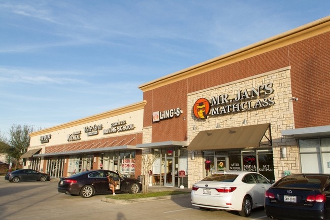
Property Detail
8945 S Fry Rd
0347-00-002-0039-914
0347 WILLIAMS & BALL, ACRES 1.1437, SHOPPES AT SEVEN LAKES, BLOCK 1, RESERVE A (COMMERCIAL)
Commercialnec
Fort Bend
B and X Area of moderate flood hazard, usually the area between the limits of the 100-year and 500-year floods.
Texas
2024
1.14 AC
2025
Far Katy South
673104
Houston
14,630 SF
Houston-Pasadena-The Woodlands, TX
NEARBY LISTINGS FOR SALE OR LEASE
DEMOGRAPHICS near 8945 S Fry Rd
1 mile
3 mile
5 mile
2025 Total Population
16,983
123,069
269,024
2030 Population
19,121
138,820
303,457
Pop Growth 2025-2030
+ 12.59%
+ 12.80%
+ 12.80%
Average Age
36
36
36
2025 Total Households
5,043
36,895
84,794
HH Growth 2025-2030
+ 13.05%
+ 13.30%
+ 13.12%
Median Household Inc
$167,688
$153,907
$133,149
Avg Household Size
3.30
3.30
3.20
2025 Avg HH Vehicles
2.00
2.00
2.00
Median Home Value
$463,429
$472,232
$459,308
Median Year Built
2008
2010
2010
Nearby Places
Map Layers
Map Styles
 Street
 Aerial
Layers
 Traffic
 Biking
Places
Listings with unknown addresses are not visible on the map
- Restaurants
- Banks
- Shops
- Fitness
- Groceries
SALE & LEASE HISTORY
LISTING DATE
SALE/LEASE

Sep 25, 2016
For Lease
Jul 12, 2018
For Lease
Aug 01, 2018
For Lease
Nearby Properties
Address
Land Use
TOTAL SIZE
Lot Size
Zoning
Address
Land Use
TOTAL SIZE
Lot Size
Zoning
786,753 SF
116.13 AC
Address
Land Use
TOTAL SIZE
Lot Size
Zoning
57.20 AC
Address
Land Use
TOTAL SIZE
Lot Size
Zoning
610,000 SF
99.39 AC
Y
Address
Land Use
TOTAL SIZE
Lot Size
Zoning
433,000 SF
59.75 AC
Address
Land Use
TOTAL SIZE
Lot Size
Zoning
350,883 SF
29.41 AC
Address
Land Use
TOTAL SIZE
Lot Size
Zoning
165,097 SF
43.81 AC
Address
Land Use
TOTAL SIZE
Lot Size
Zoning
523,641 SF
17.31 AC
X
Address
Land Use
TOTAL SIZE
Lot Size
Zoning
481,055 SF
4.56 AC
Address
Land Use
TOTAL SIZE
Lot Size
Zoning
21.54 AC
Address
Land Use
TOTAL SIZE
Lot Size
Zoning
1,022 SF
21.43 AC
RAD
Address
Land Use
TOTAL SIZE
Lot Size
Zoning
13.36 AC
QY
Address
Land Use
TOTAL SIZE
Lot Size
Zoning
Address
Land Use
TOTAL SIZE
Lot Size
Zoning
95,597 SF
13.46 AC
Address
Land Use
TOTAL SIZE
Lot Size
Zoning
174,906 SF
31.18 AC
Address
Land Use
TOTAL SIZE
Lot Size
Zoning
320,427 SF
15.15 AC
Address
Land Use
TOTAL SIZE
Lot Size
Zoning
240,930 SF
15 AC
Address
Land Use
TOTAL SIZE
Lot Size
Zoning
105,718 SF
14.52 AC
Address
Land Use
TOTAL SIZE
Lot Size
Zoning
202,589 SF
9.24 AC
J
Address
Land Use
TOTAL SIZE
Lot Size
Zoning
184,398 SF
28.22 AC
I
Address
Land Use
TOTAL SIZE
Lot Size
Zoning
141,552 SF
38.03 AC
TS
Address
Land Use
TOTAL SIZE
Lot Size
Zoning
390,016 SF
14.44 AC
Address
Land Use
TOTAL SIZE
Lot Size
Zoning
9.46 AC
QS
Address
Land Use
TOTAL SIZE
Lot Size
Zoning
89,262 SF
13.22 AC
Address
Land Use
TOTAL SIZE
Lot Size
Zoning
49.51 AC
Address
Land Use
TOTAL SIZE
Lot Size
Zoning
Address
Land Use
TOTAL SIZE
Lot Size
Zoning
200,793 SF
6.23 AC
Address
Land Use
TOTAL SIZE
Lot Size
Zoning
92,916 SF
7.96 AC
Address
Land Use
TOTAL SIZE
Lot Size
Zoning
117,000 SF
13.77 AC
Address
Land Use
TOTAL SIZE
Lot Size
Zoning
18,240 SF
66.52 AC
MYN
Address
Land Use
TOTAL SIZE
Lot Size
Zoning
120,000 SF
13.48 AC
The World's #1 Commercial Real Estate Marketplace
Connect with us
© 2026 CoStar Group
The information above has been obtained from sources believed reliable. While we do not doubt its accuracy we have not verified it and make no guarantee, warranty or representation about it. It is your responsibility to independently confirm its accuracy and completeness. Any projections, opinions, assumptions, or estimates used are for example only and do not represent the current or future performance of the property. The value of this transaction to you depends on tax and other factors which should be evaluated by your tax, financial, and legal advisors. You and your advisors should conduct a careful, independent investigation of the property to determine to your satisfaction the suitability of the property for your needs.