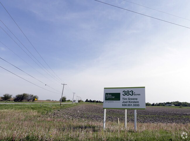
Property Record
8S503 Sugar Grove Pkwy, Sugar Grove, IL 60554
NEARBY LISTINGS FOR SALE OR LEASE
Property Detail
8S503 Sugar Grove Pkwy
Chicago-Naperville-Elgin, IL-IN-WI
None
14-27-300-001
69.02 ACRES
Farms
Kane
X
Illinois
17093C0035H
69.02 AC
2024
Western East/West Corr
2024
Chicago
854509
DEMOGRAPHICS near 8S503 Sugar Grove Pkwy
1 Mile
3 Mile
5 Mile
2024 Total Population
639
22,416
65,469
2029 Population
649
23,649
68,761
Pop Growth 2024-2029
+ 1.56%
+ 5.50%
+ 5.03%
Average Age
40
36
38
2024 Total Households
223
7,299
22,615
HH Growth 2024-2029
+ 1.79%
+ 5.38%
+ 4.73%
Median Household Inc
$119,551
$110,785
$99,521
Avg Household Size
2.80
3.10
2.90
2024 Avg HH Vehicles
2.00
2.00
2.00
Median Home Value
$290,525
$256,180
$264,405
Median Year Built
1997
2004
2000
Nearby Places
Map Layers
Map Styles
 Street
 Aerial
- Restaurants
- Banks
- Shops
- Fitness
- Groceries
PUBLIC TRANSPORTATION
COMMUTER RAIL
Aurora Station (Burlington Northern-Santa Fe Railway Line - Northeast Illinois Regional Commuter Railroad (Metra))
DRIVE
WALK
Distance
Aurora Station (Burlington Northern-Santa Fe Railway Line - Northeast Illinois Regional Commuter Railroad (Metra))
19 min
9.3 mi
Freight Ports
Port Milwaukee
DRIVE
WALK
Distance
Port Milwaukee
143 min
116.2 mi
SALE & LEASE HISTORY
LISTING DATE
SALE/LEASE

Sep 24, 2016
For Sale
Sep 07, 2017
For Sale
Aug 10, 2017
For Sale
Nearby Properties
Address
Land Use
TOTAL SIZE
Lot Size
Zoning
Address
Land Use
TOTAL SIZE
Lot Size
Zoning
259,140 SF
18.05 AC
Address
Land Use
TOTAL SIZE
Lot Size
Zoning
0.13 AC
Address
Land Use
TOTAL SIZE
Lot Size
Zoning
Address
Land Use
TOTAL SIZE
Lot Size
Zoning
1.14 AC
Address
Land Use
TOTAL SIZE
Lot Size
Zoning
127,229 SF
11.36 AC
Address
Land Use
TOTAL SIZE
Lot Size
Zoning
15,913 SF
31.25 AC
Address
Land Use
TOTAL SIZE
Lot Size
Zoning
Address
Land Use
TOTAL SIZE
Lot Size
Zoning
53,152 SF
3.11 AC
Address
Land Use
TOTAL SIZE
Lot Size
Zoning
Address
Land Use
TOTAL SIZE
Lot Size
Zoning
Address
Land Use
TOTAL SIZE
Lot Size
Zoning
80,400 SF
7.55 AC
Address
Land Use
TOTAL SIZE
Lot Size
Zoning
25,833 SF
5.17 AC
Address
Land Use
TOTAL SIZE
Lot Size
Zoning
91,579 SF
22.83 AC
Address
Land Use
TOTAL SIZE
Lot Size
Zoning
1,200 SF
1 AC
Address
Land Use
TOTAL SIZE
Lot Size
Zoning
Address
Land Use
TOTAL SIZE
Lot Size
Zoning
Address
Land Use
TOTAL SIZE
Lot Size
Zoning
Address
Land Use
TOTAL SIZE
Lot Size
Zoning
1,128 SF
1.78 AC
Address
Land Use
TOTAL SIZE
Lot Size
Zoning
Address
Land Use
TOTAL SIZE
Lot Size
Zoning
25,000 SF
2.04 AC
Address
Land Use
TOTAL SIZE
Lot Size
Zoning
14,592 SF
1.82 AC
Address
Land Use
TOTAL SIZE
Lot Size
Zoning
20,000 SF
2 AC
Address
Land Use
TOTAL SIZE
Lot Size
Zoning
10,690 SF
1 AC
Address
Land Use
TOTAL SIZE
Lot Size
Zoning
5,874 SF
75.14 AC
Address
Land Use
TOTAL SIZE
Lot Size
Zoning
0.06 AC
Address
Land Use
TOTAL SIZE
Lot Size
Zoning
Address
Land Use
TOTAL SIZE
Lot Size
Zoning
3,120 SF
0.27 AC
Address
Land Use
TOTAL SIZE
Lot Size
Zoning
9,106 SF
2.71 AC
Address
Land Use
TOTAL SIZE
Lot Size
Zoning
3,900 SF
1 AC
Address
Land Use
TOTAL SIZE
Lot Size
Zoning
The World's #1 Commercial Real Estate Marketplace
Connect with us
© 2025 CoStar Group
The information above has been obtained from sources believed reliable. While we do not doubt its accuracy we have not verified it and make no guarantee, warranty or representation about it. It is your responsibility to independently confirm its accuracy and completeness. Any projections, opinions, assumptions, or estimates used are for example only and do not represent the current or future performance of the property. The value of this transaction to you depends on tax and other factors which should be evaluated by your tax, financial, and legal advisors. You and your advisors should conduct a careful, independent investigation of the property to determine to your satisfaction the suitability of the property for your needs.