Property Record
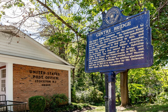
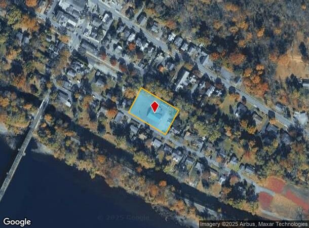
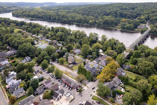
9 Mill St, Stockton, NJ 08559
This Property Is For Sale
NEARBY LISTINGS FOR SALE OR LEASE
-
-
View all Stockton listings for sale on LoopNet.com
Property Detail
9 Mill St
23-00011-0000-00046
FACILITY NAME: FIREHOUSE
Taxexempt
Hunterdon
AE
New Jersey
42017C0213J
46
2023
0.98 AC
2025
Hunterdon
011600
Northern New Jersey
3,816 SF
Newark, NJ
DEMOGRAPHICS near 9 Mill St
1 Mile
3 Mile
5 Mile
2024 Total Population
795
7,943
21,622
2029 Population
796
7,946
21,732
Pop Growth 2024-2029
+ 0.13%
+ 0.04%
+ 0.51%
Average Age
49
48
48
2024 Total Households
353
3,475
9,397
HH Growth 2024-2029
+ 0.28%
+ 0.12%
+ 0.60%
Median Household Inc
$121,093
$133,064
$151,418
Avg Household Size
2.20
2.30
2.30
2024 Avg HH Vehicles
2.00
2.00
2.00
Median Home Value
$520,089
$688,759
$710,714
Median Year Built
1959
1967
1975
Nearby Places
Map Layers
Map Styles
 Street
 Aerial
- Restaurants
- Banks
- Shops
- Fitness
- Groceries
PUBLIC TRANSPORTATION
AIRPORT
Trenton Mercer
DRIVE
WALK
Distance
Trenton Mercer
28 min
16.7 mi
Lehigh Valley International
DRIVE
WALK
Distance
Lehigh Valley International
71 min
38.9 mi
Freight Ports
Port of Philadelphia
DRIVE
WALK
Distance
Port of Philadelphia
59 min
33.7 mi
Nearby Properties
Address
Land Use
TOTAL SIZE
Lot Size
Zoning
Address
Land Use
TOTAL SIZE
Lot Size
Zoning
8,456 SF
2.36 AC
R-2
Address
Land Use
TOTAL SIZE
Lot Size
Zoning
10,746 SF
1.68 AC
FP
Address
Land Use
TOTAL SIZE
Lot Size
Zoning
14,429 SF
2.20 AC
COM
Address
Land Use
TOTAL SIZE
Lot Size
Zoning
39,390 SF
1.80 AC
R-2
Address
Land Use
TOTAL SIZE
Lot Size
Zoning
100 AC
I-2
Address
Land Use
TOTAL SIZE
Lot Size
Zoning
4,423 SF
0.40 AC
R-2
Address
Land Use
TOTAL SIZE
Lot Size
Zoning
3,474 SF
4.09 AC
HC
Address
Land Use
TOTAL SIZE
Lot Size
Zoning
9,100 SF
5.40 AC
HC
Address
Land Use
TOTAL SIZE
Lot Size
Zoning
11,452 SF
3.95 AC
PRD
Address
Land Use
TOTAL SIZE
Lot Size
Zoning
12,978 SF
2.37 AC
A-1
Address
Land Use
TOTAL SIZE
Lot Size
Zoning
6,851 SF
8.55 AC
RL
Address
Land Use
TOTAL SIZE
Lot Size
Zoning
8,340 SF
1 AC
A-1
Address
Land Use
TOTAL SIZE
Lot Size
Zoning
12,391 SF
1 AC
A-1
Address
Land Use
TOTAL SIZE
Lot Size
Zoning
4,510 SF
9.27 AC
R140
Address
Land Use
TOTAL SIZE
Lot Size
Zoning
3,403 SF
1.95 AC
COM
Address
Land Use
TOTAL SIZE
Lot Size
Zoning
10,371 SF
0.28 AC
R-2
Address
Land Use
TOTAL SIZE
Lot Size
Zoning
5,423 SF
0.22 AC
R-2
Address
Land Use
TOTAL SIZE
Lot Size
Zoning
14,645 SF
0.66 AC
COM
Address
Land Use
TOTAL SIZE
Lot Size
Zoning
10,291 SF
1.70 AC
A-1
Address
Land Use
TOTAL SIZE
Lot Size
Zoning
0.72 AC
CBD
Address
Land Use
TOTAL SIZE
Lot Size
Zoning
1.08 AC
CBD
Address
Land Use
TOTAL SIZE
Lot Size
Zoning
13,119 SF
6 AC
A-1
Address
Land Use
TOTAL SIZE
Lot Size
Zoning
4,294 SF
0.57 AC
R-2
Address
Land Use
TOTAL SIZE
Lot Size
Zoning
4,494 SF
0.42 AC
R-2
Address
Land Use
TOTAL SIZE
Lot Size
Zoning
158.87 AC
A-1
Address
Land Use
TOTAL SIZE
Lot Size
Zoning
5,262 SF
0.58 AC
CR
Address
Land Use
TOTAL SIZE
Lot Size
Zoning
4,964 SF
0.36 AC
R-2
Address
Land Use
TOTAL SIZE
Lot Size
Zoning
9,942 SF
1.85 AC
CR
Address
Land Use
TOTAL SIZE
Lot Size
Zoning
6,881 SF
0.47 AC
R-2
Address
Land Use
TOTAL SIZE
Lot Size
Zoning
5,396 SF
1 AC
A-1
The World's #1 Commercial Real Estate Marketplace
Connect with us
© 2026 CoStar Group
The information above has been obtained from sources believed reliable. While we do not doubt its accuracy we have not verified it and make no guarantee, warranty or representation about it. It is your responsibility to independently confirm its accuracy and completeness. Any projections, opinions, assumptions, or estimates used are for example only and do not represent the current or future performance of the property. The value of this transaction to you depends on tax and other factors which should be evaluated by your tax, financial, and legal advisors. You and your advisors should conduct a careful, independent investigation of the property to determine to your satisfaction the suitability of the property for your needs.