Property Record
90 Freetown Rd, Wallkill, NY 12589


NEARBY LISTINGS FOR SALE OR LEASE
-
-
No Photo
-
View all Wallkill listings for sale on LoopNet.com
Property Detail
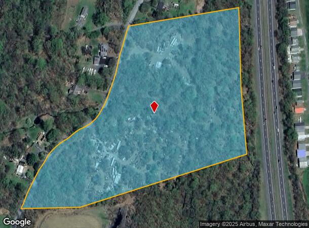
90 Freetown Rd
4200-101.002-0003-005.004-0000
Ulster
Residentialacreage
New York
X
5.004
36111C0765E
19.30 AC
2025
Hudson Valley Area
2024
Other Market Areas
954100
Kingston, NY
DEMOGRAPHICS near 90 Freetown Rd
1 Mile
3 Mile
5 Mile
2024 Total Population
675
8,550
19,450
2029 Population
677
8,460
19,265
Pop Growth 2024-2029
+ 0.30%
(1.05%)
(0.95%)
Average Age
39
42
42
2024 Total Households
233
3,282
7,051
HH Growth 2024-2029
0.00%
(1.19%)
(1.09%)
Median Household Inc
$97,684
$89,205
$99,321
Avg Household Size
2.70
2.50
2.50
2024 Avg HH Vehicles
2.00
2.00
2.00
Median Home Value
$326,811
$275,292
$323,396
Median Year Built
1984
1979
1978
Nearby Places
- Restaurants
- Banks
- Shops
- Fitness
- Groceries
PUBLIC TRANSPORTATION
AIRPORT
New York Stewart International
DRIVE
WALK
Distance
New York Stewart International
32 min
15.8 mi
Freight Ports
Port of New Haven
DRIVE
WALK
Distance
Port of New Haven
122 min
86.1 mi
Nearby Properties
Address
Land Use
TOTAL SIZE
Lot Size
Zoning
Address
Land Use
TOTAL SIZE
Lot Size
Zoning
1,056 SF
97.30 AC
RR1.5
Address
Land Use
TOTAL SIZE
Lot Size
Zoning
980 SF
94.70 AC
AG1.5
Address
Land Use
TOTAL SIZE
Lot Size
Zoning
50,840 SF
6.30 AC
BD40
Address
Land Use
TOTAL SIZE
Lot Size
Zoning
34,640 SF
12.40 AC
BD40
Address
Land Use
TOTAL SIZE
Lot Size
Zoning
30,606 SF
62 AC
RR1.5
Address
Land Use
TOTAL SIZE
Lot Size
Zoning
1,456 SF
46 AC
HR-1
Address
Land Use
TOTAL SIZE
Lot Size
Zoning
11,092 SF
102.50 AC
BD40
Address
Land Use
TOTAL SIZE
Lot Size
Zoning
5,790 SF
66.60 AC
RR1.5
Address
Land Use
TOTAL SIZE
Lot Size
Zoning
3,360 SF
10.31 AC
BD60
Address
Land Use
TOTAL SIZE
Lot Size
Zoning
23.50 AC
AG1.5
Address
Land Use
TOTAL SIZE
Lot Size
Zoning
780 SF
67.90 AC
BD40
Address
Land Use
TOTAL SIZE
Lot Size
Zoning
2,448 SF
141.50 AC
BD60/AG1.5
Address
Land Use
TOTAL SIZE
Lot Size
Zoning
924 SF
24 AC
RR1.5
Address
Land Use
TOTAL SIZE
Lot Size
Zoning
9,100 SF
88.10 AC
AG1.5
Address
Land Use
TOTAL SIZE
Lot Size
Zoning
4,866 SF
6.90 AC
RA
Address
Land Use
TOTAL SIZE
Lot Size
Zoning
980 SF
11.80 AC
HR-1
Address
Land Use
TOTAL SIZE
Lot Size
Zoning
13,020 SF
1.40 AC
HC
Address
Land Use
TOTAL SIZE
Lot Size
Zoning
9,100 SF
2.30 AC
BD40
Address
Land Use
TOTAL SIZE
Lot Size
Zoning
9,100 SF
1.80 AC
BD-40
Address
Land Use
TOTAL SIZE
Lot Size
Zoning
3,379 SF
194.80 AC
RR1.5
Address
Land Use
TOTAL SIZE
Lot Size
Zoning
1,950 SF
0.90 AC
BD40
Address
Land Use
TOTAL SIZE
Lot Size
Zoning
2,616 SF
14.50 AC
HR-1
Address
Land Use
TOTAL SIZE
Lot Size
Zoning
5,938 SF
0.30 AC
BD40
Address
Land Use
TOTAL SIZE
Lot Size
Zoning
9,102 SF
87.50 AC
AG1.5
Address
Land Use
TOTAL SIZE
Lot Size
Zoning
9,900 SF
1.30 AC
BD40
Address
Land Use
TOTAL SIZE
Lot Size
Zoning
720 SF
8.10 AC
HR 1
Address
Land Use
TOTAL SIZE
Lot Size
Zoning
2,080 SF
63.90 AC
BD60
Address
Land Use
TOTAL SIZE
Lot Size
Zoning
9,570 SF
5 AC
RR1.5
Address
Land Use
TOTAL SIZE
Lot Size
Zoning
3,584 SF
17.82 AC
RR1.5
Address
Land Use
TOTAL SIZE
Lot Size
Zoning
38,970 SF
26.50 AC
RR1.5
The World's #1 Commercial Real Estate Marketplace
Connect with us
© 2025 CoStar Group
The information above has been obtained from sources believed reliable. While we do not doubt its accuracy we have not verified it and make no guarantee, warranty or representation about it. It is your responsibility to independently confirm its accuracy and completeness. Any projections, opinions, assumptions, or estimates used are for example only and do not represent the current or future performance of the property. The value of this transaction to you depends on tax and other factors which should be evaluated by your tax, financial, and legal advisors. You and your advisors should conduct a careful, independent investigation of the property to determine to your satisfaction the suitability of the property for your needs.