Property Record
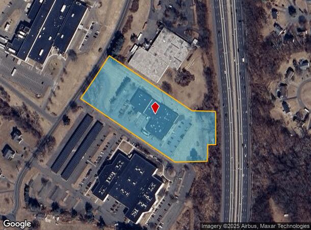
90 Lamberton Rd, Windsor, CT 06095


NEARBY LISTINGS FOR SALE OR LEASE
Property Detail
90 Lamberton Rd
WIND-000043-000109-000043A
Hartford
Industrialgeneral
Connecticut
X
43a
09003C0356F
4.89 AC
2024
Windsor
2025
Hartford
473501
Hartford-West Hartford-East Hartford, CT
33,364 SF
DEMOGRAPHICS near 90 Lamberton Rd
1 Mile
3 Mile
5 Mile
2024 Total Population
3,204
25,554
73,837
2029 Population
3,197
25,365
73,512
Pop Growth 2024-2029
(0.22%)
(0.74%)
(0.44%)
Average Age
41
43
43
2024 Total Households
1,271
10,041
29,113
HH Growth 2024-2029
(0.31%)
(0.94%)
(0.55%)
Median Household Inc
$90,090
$97,285
$84,405
Avg Household Size
2.40
2.40
2.40
2024 Avg HH Vehicles
2.00
2.00
2.00
Median Home Value
$242,318
$251,566
$238,056
Median Year Built
1971
1969
1965
Nearby Places
Map Layers
Map Styles
 Street
 Aerial
- Restaurants
- Banks
- Shops
- Fitness
- Groceries
PUBLIC TRANSPORTATION
COMMUTER RAIL
DRIVE
WALK
Distance
6 min
2.0 mi
Windsor Locks (Hartford Line - CT Rail (CTRail))
DRIVE
WALK
Distance
Windsor Locks (Hartford Line - CT Rail (CTRail))
9 min
4.7 mi
AIRPORT
Bradley International
DRIVE
WALK
Distance
Bradley International
25 min
10.4 mi
Freight Ports
Port of New Haven
DRIVE
WALK
Distance
Port of New Haven
64 min
47.4 mi
SALE & LEASE HISTORY
LISTING DATE
SALE/LEASE

Apr 28, 2022
For Sale
Nearby Properties
Address
Land Use
TOTAL SIZE
Lot Size
Zoning
Address
Land Use
TOTAL SIZE
Lot Size
Zoning
105,796 SF
89.51 AC
Address
Land Use
TOTAL SIZE
Lot Size
Zoning
13,680 SF
240.83 AC
Address
Land Use
TOTAL SIZE
Lot Size
Zoning
66.60 AC
I-2
Address
Land Use
TOTAL SIZE
Lot Size
Zoning
802,150 SF
96.24 AC
I-2
Address
Land Use
TOTAL SIZE
Lot Size
Zoning
492,240 SF
40.80 AC
Address
Land Use
TOTAL SIZE
Lot Size
Zoning
164,765 SF
17.40 AC
Address
Land Use
TOTAL SIZE
Lot Size
Zoning
6.50 AC
Address
Land Use
TOTAL SIZE
Lot Size
Zoning
203,071 SF
17.46 AC
Address
Land Use
TOTAL SIZE
Lot Size
Zoning
334,788 SF
40.37 AC
IND3
Address
Land Use
TOTAL SIZE
Lot Size
Zoning
177,630 SF
32.64 AC
Address
Land Use
TOTAL SIZE
Lot Size
Zoning
247,428 SF
35.46 AC
Address
Land Use
TOTAL SIZE
Lot Size
Zoning
215,269 SF
41 AC
I-2
Address
Land Use
TOTAL SIZE
Lot Size
Zoning
488,812 SF
77.31 AC
Address
Land Use
TOTAL SIZE
Lot Size
Zoning
183,263 SF
21.69 AC
Address
Land Use
TOTAL SIZE
Lot Size
Zoning
14.90 AC
R-15
Address
Land Use
TOTAL SIZE
Lot Size
Zoning
11.65 AC
Address
Land Use
TOTAL SIZE
Lot Size
Zoning
25.92 AC
Address
Land Use
TOTAL SIZE
Lot Size
Zoning
768 SF
15.72 AC
Address
Land Use
TOTAL SIZE
Lot Size
Zoning
65,592 SF
6.66 AC
Address
Land Use
TOTAL SIZE
Lot Size
Zoning
239,516 SF
31.50 AC
I-2
Address
Land Use
TOTAL SIZE
Lot Size
Zoning
236,977 SF
16.99 AC
Address
Land Use
TOTAL SIZE
Lot Size
Zoning
12,416 SF
10.79 AC
R-15
Address
Land Use
TOTAL SIZE
Lot Size
Zoning
170,076 SF
24.02 AC
Address
Land Use
TOTAL SIZE
Lot Size
Zoning
143,952 SF
15.97 AC
Address
Land Use
TOTAL SIZE
Lot Size
Zoning
39,366 SF
45.95 AC
I-2
Address
Land Use
TOTAL SIZE
Lot Size
Zoning
82,784 SF
7.07 AC
Address
Land Use
TOTAL SIZE
Lot Size
Zoning
52.53 AC
Address
Land Use
TOTAL SIZE
Lot Size
Zoning
166,420 SF
15.83 AC
Address
Land Use
TOTAL SIZE
Lot Size
Zoning
198,750 SF
14.98 AC
Address
Land Use
TOTAL SIZE
Lot Size
Zoning
87,963 SF
9.53 AC
The World's #1 Commercial Real Estate Marketplace
Connect with us
© 2026 CoStar Group
The information above has been obtained from sources believed reliable. While we do not doubt its accuracy we have not verified it and make no guarantee, warranty or representation about it. It is your responsibility to independently confirm its accuracy and completeness. Any projections, opinions, assumptions, or estimates used are for example only and do not represent the current or future performance of the property. The value of this transaction to you depends on tax and other factors which should be evaluated by your tax, financial, and legal advisors. You and your advisors should conduct a careful, independent investigation of the property to determine to your satisfaction the suitability of the property for your needs.