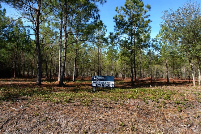
Property Record
90 Schork Rd, Beaufort, SC 29906

NEARBY LISTINGS FOR SALE OR LEASE
Property Detail
90 Schork Rd
Other Market Areas
Laurel Bay Commercial & Mixed
Hilton Head Island-Bluffton-Beaufort, SC
POR BEAUFORT INDUS PARK (BEAUFORT JASPER MULTI COUNTY PARK) PB112 P68 CITY OF BF
R120-020-000-0269-0000
Beaufort
Industrialacreage
South Carolina
2025
31.79 AC
2024
Hilton Head/Beaufort
000501
DEMOGRAPHICS near 90 Schork Rd
1 Mile
3 Mile
5 Mile
2024 Total Population
658
9,727
25,096
2029 Population
722
10,720
27,539
Pop Growth 2024-2029
+ 9.73%
+ 10.21%
+ 9.73%
Average Age
35
34
35
2024 Total Households
233
3,520
8,795
HH Growth 2024-2029
+ 9.01%
+ 9.83%
+ 10.03%
Median Household Inc
$51,757
$52,213
$53,100
Avg Household Size
2.60
2.60
2.60
2024 Avg HH Vehicles
2.00
2.00
2.00
Median Home Value
$168,840
$172,019
$227,803
Median Year Built
1992
1992
1993
Nearby Places
Map Layers
Map Styles
 Street
 Aerial
- Restaurants
- Banks
- Shops
- Fitness
- Groceries
PUBLIC TRANSPORTATION
AIRPORT
Hilton Head
DRIVE
WALK
Distance
Hilton Head
57 min
40.7 mi
Freight Ports
Georgia Ports - Savannah
DRIVE
WALK
Distance
Georgia Ports - Savannah
67 min
50.1 mi
Nearby Properties
Address
Land Use
TOTAL SIZE
Lot Size
Zoning
Address
Land Use
TOTAL SIZE
Lot Size
Zoning
4,613 AC
6601
Address
Land Use
TOTAL SIZE
Lot Size
Zoning
217,792 SF
60 AC
6611
Address
Land Use
TOTAL SIZE
Lot Size
Zoning
944.23 AC
6601
Address
Land Use
TOTAL SIZE
Lot Size
Zoning
71,965 SF
20 AC
6611
Address
Land Use
TOTAL SIZE
Lot Size
Zoning
64,000 SF
5.92 AC
Address
Land Use
TOTAL SIZE
Lot Size
Zoning
192 SF
368 AC
6111
Address
Land Use
TOTAL SIZE
Lot Size
Zoning
85,127 SF
35.70 AC
6611
Address
Land Use
TOTAL SIZE
Lot Size
Zoning
17,432 SF
7.15 AC
6611
Address
Land Use
TOTAL SIZE
Lot Size
Zoning
5,990 SF
2 AC
Address
Land Use
TOTAL SIZE
Lot Size
Zoning
49,216 SF
7.06 AC
6611
Address
Land Use
TOTAL SIZE
Lot Size
Zoning
9,609 SF
1.49 AC
Address
Land Use
TOTAL SIZE
Lot Size
Zoning
37,452 SF
0.66 AC
6101
Address
Land Use
TOTAL SIZE
Lot Size
Zoning
37,452 SF
0.66 AC
6101
Address
Land Use
TOTAL SIZE
Lot Size
Zoning
59,100 SF
5.13 AC
6611
Address
Land Use
TOTAL SIZE
Lot Size
Zoning
12,444 SF
2.59 AC
6611
Address
Land Use
TOTAL SIZE
Lot Size
Zoning
117.17 AC
9999
Address
Land Use
TOTAL SIZE
Lot Size
Zoning
16,002 SF
10.30 AC
6611
Address
Land Use
TOTAL SIZE
Lot Size
Zoning
4,302 SF
7.50 AC
6611
Address
Land Use
TOTAL SIZE
Lot Size
Zoning
2,358 SF
28.58 AC
Address
Land Use
TOTAL SIZE
Lot Size
Zoning
34,124 SF
8.30 AC
6611
Address
Land Use
TOTAL SIZE
Lot Size
Zoning
10,040 SF
20.53 AC
6611
Address
Land Use
TOTAL SIZE
Lot Size
Zoning
10,043 SF
3 AC
Address
Land Use
TOTAL SIZE
Lot Size
Zoning
41,439 SF
27.75 AC
6611
Address
Land Use
TOTAL SIZE
Lot Size
Zoning
34,450 SF
10.07 AC
6601
Address
Land Use
TOTAL SIZE
Lot Size
Zoning
2,250 SF
1.59 AC
6611
Address
Land Use
TOTAL SIZE
Lot Size
Zoning
113 SF
16.85 AC
6611
Address
Land Use
TOTAL SIZE
Lot Size
Zoning
12,000 SF
13.88 AC
6611
Address
Land Use
TOTAL SIZE
Lot Size
Zoning
64,722 SF
14.24 AC
6611
Address
Land Use
TOTAL SIZE
Lot Size
Zoning
5,940 SF
0.12 AC
Address
Land Use
TOTAL SIZE
Lot Size
Zoning
22.61 AC
6611
The World's #1 Commercial Real Estate Marketplace
Connect with us
© 2025 CoStar Group
The information above has been obtained from sources believed reliable. While we do not doubt its accuracy we have not verified it and make no guarantee, warranty or representation about it. It is your responsibility to independently confirm its accuracy and completeness. Any projections, opinions, assumptions, or estimates used are for example only and do not represent the current or future performance of the property. The value of this transaction to you depends on tax and other factors which should be evaluated by your tax, financial, and legal advisors. You and your advisors should conduct a careful, independent investigation of the property to determine to your satisfaction the suitability of the property for your needs.