Property Record
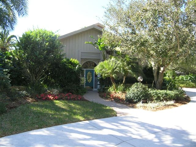
900 Sinclair Dr, Sarasota, FL 34240
Property Detail
900 Sinclair Dr
0206-03-0002
BEG NE COR OF NE 1/4 OF SW 1/4 OF SEC 14-36-19 TH ALG ELY LINE OF SAID 1/4, 1/4 SEC S 0-29-05 E 332.41 FT TH N 89-55-33 W 656.63 FT TO WLY LINE OF AFORESAID 1/4, 1/4 SEC TH ALG SAID WLY LINE
Multifamilydwelling
Sarasota
OUE
Florida
B and X Area of moderate flood hazard, usually the area between the limits of the 100-year and 500-year floods.
5 AC
2024
Sarasota Outlying
2025
Tampa/St Petersburg
002725
North Port-Bradenton-Sarasota, FL
4,236 SF
NEARBY LISTINGS FOR SALE OR LEASE
-
-
View all Sarasota listings for sale on LoopNet.com
DEMOGRAPHICS near 900 Sinclair Dr
1 mile
3 mile
5 mile
2024 Total Population
621
7,856
35,317
2029 Population
723
8,891
38,898
Pop Growth 2024-2029
+ 16.43%
+ 13.17%
+ 10.14%
Average Age
46
46
50
2024 Total Households
243
3,070
14,744
HH Growth 2024-2029
+ 16.87%
+ 13.39%
+ 10.34%
Median Household Inc
$135,969
$135,564
$120,648
Avg Household Size
2.40
2.50
2.30
2024 Avg HH Vehicles
2.00
2.00
2.00
Median Home Value
$771,276
$782,319
$717,593
Median Year Built
2011
2010
2006
Nearby Places
Map Layers
Map Styles
 Street
 Aerial
Transit
 Traffic
 Biking
Places
Listings with unknown addresses are not visible on the map
- Restaurants
- Banks
- Shops
- Fitness
- Groceries
PUBLIC TRANSPORTATION
AIRPORT
Sarasota/Bradenton International
Drive
Walk
Distance
Sarasota/Bradenton International
30 min
16.7 mi
Freight Ports
Port Manatee
Drive
Walk
Distance
Port Manatee
43 min
29.2 mi
Nearby Properties
Address
Land Use
TOTAL SIZE
Lot Size
Zoning
Address
Land Use
TOTAL SIZE
Lot Size
Zoning
343,370 SF
10.77 AC
VPD
Address
Land Use
TOTAL SIZE
Lot Size
Zoning
343,100 SF
13.67 AC
VPD
Address
Land Use
TOTAL SIZE
Lot Size
Zoning
122,380 SF
26.49 AC
VPD
Address
Land Use
TOTAL SIZE
Lot Size
Zoning
206,326 SF
5.01 AC
VPD
Address
Land Use
TOTAL SIZE
Lot Size
Zoning
119,960 SF
27.91 AC
PID
Address
Land Use
TOTAL SIZE
Lot Size
Zoning
146,176 SF
33.37 AC
PID
Address
Land Use
TOTAL SIZE
Lot Size
Zoning
101.28 AC
VPD
Address
Land Use
TOTAL SIZE
Lot Size
Zoning
70,120 SF
12.23 AC
A,PD-MU
Address
Land Use
TOTAL SIZE
Lot Size
Zoning
63,371 SF
10.52 AC
PCD
Address
Land Use
TOTAL SIZE
Lot Size
Zoning
17,875 SF
13.40 AC
OUE
Address
Land Use
TOTAL SIZE
Lot Size
Zoning
103,014 SF
200.11 AC
OUE1
Address
Land Use
TOTAL SIZE
Lot Size
Zoning
14,689 SF
1.67 AC
VPD
Address
Land Use
TOTAL SIZE
Lot Size
Zoning
23,409 SF
1.06 AC
VPD
Address
Land Use
TOTAL SIZE
Lot Size
Zoning
57,301 SF
10.56 AC
OUR
Address
Land Use
TOTAL SIZE
Lot Size
Zoning
159.37 AC
VPD
Address
Land Use
TOTAL SIZE
Lot Size
Zoning
103,220 SF
11.54 AC
PID
Address
Land Use
TOTAL SIZE
Lot Size
Zoning
80,650 SF
3.96 AC
PID
Address
Land Use
TOTAL SIZE
Lot Size
Zoning
43,374 SF
1.98 AC
PID
Address
Land Use
TOTAL SIZE
Lot Size
Zoning
28,370 SF
138.76 AC
OUE2
Address
Land Use
TOTAL SIZE
Lot Size
Zoning
14,825 SF
5.57 AC
VPD
Address
Land Use
TOTAL SIZE
Lot Size
Zoning
82,694 SF
10.76 AC
ILW
Address
Land Use
TOTAL SIZE
Lot Size
Zoning
148.26 AC
HPD
Address
Land Use
TOTAL SIZE
Lot Size
Zoning
21,709 SF
11.18 AC
PID
Address
Land Use
TOTAL SIZE
Lot Size
Zoning
59,000 SF
4.40 AC
PID
Address
Land Use
TOTAL SIZE
Lot Size
Zoning
20,263 SF
2.09 AC
VPD
Address
Land Use
TOTAL SIZE
Lot Size
Zoning
13,965 SF
1.37 AC
VPD
Address
Land Use
TOTAL SIZE
Lot Size
Zoning
27,877 SF
31.73 AC
OUE
Address
Land Use
TOTAL SIZE
Lot Size
Zoning
1,674 SF
11.50 AC
VPD
Address
Land Use
TOTAL SIZE
Lot Size
Zoning
34,184 SF
2.43 AC
PID
Address
Land Use
TOTAL SIZE
Lot Size
Zoning
38,340 SF
2.96 AC
PID
The World's #1 Commercial Real Estate Marketplace
Connect with us
© 2026 CoStar Group
The information above has been obtained from sources believed reliable. While we do not doubt its accuracy we have not verified it and make no guarantee, warranty or representation about it. It is your responsibility to independently confirm its accuracy and completeness. Any projections, opinions, assumptions, or estimates used are for example only and do not represent the current or future performance of the property. The value of this transaction to you depends on tax and other factors which should be evaluated by your tax, financial, and legal advisors. You and your advisors should conduct a careful, independent investigation of the property to determine to your satisfaction the suitability of the property for your needs.