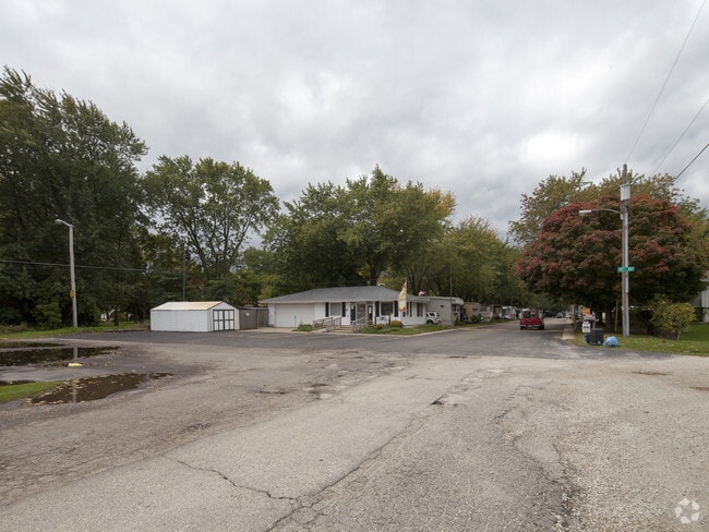
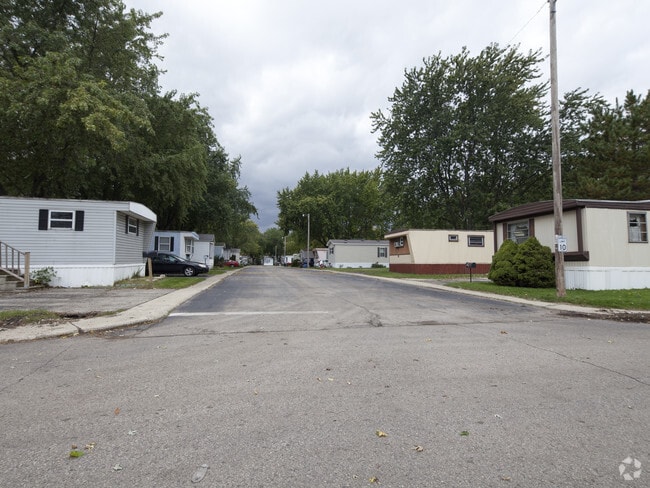
Property Record
9002 Sheridan Rd, Kenosha, WI 53143

NEARBY LISTINGS FOR SALE OR LEASE
Property Detail
9002 Sheridan Rd
Kenosha, WI
20159 PT W 1/2 OF SEC 18 T 1 R 23 BEG 1996.75 FT FT N AND 363 FT W OF SE COR OF SW 1/4 SEC 18 TH W 819.82 FT N 740.63 FT E 69
06-123-18-278-013
Kenosha
Commercialnec
Wisconsin
X
1
55059C0212E
5.29 AC
2024
Red Arrow
2024
Chicago
002100
DEMOGRAPHICS near 9002 Sheridan Rd
1 Mile
3 Mile
5 Mile
2024 Total Population
7,902
51,148
99,933
2029 Population
7,919
50,426
98,789
Pop Growth 2024-2029
+ 0.22%
(1.41%)
(1.14%)
Average Age
41
40
39
2024 Total Households
3,213
20,454
39,138
HH Growth 2024-2029
+ 0.19%
(1.47%)
(1.18%)
Median Household Inc
$61,415
$67,508
$66,645
Avg Household Size
2.40
2.40
2.40
2024 Avg HH Vehicles
2.00
2.00
2.00
Median Home Value
$197,149
$205,027
$200,403
Median Year Built
1975
1962
1967
Nearby Places
Map Layers
Map Styles
 Street
 Aerial
- Restaurants
- Banks
- Shops
- Fitness
- Groceries
PUBLIC TRANSPORTATION
COMMUTER RAIL
Kenosha Station (Union Pacific North Line - Northeast Illinois Regional Commuter Railroad (Metra))
DRIVE
WALK
Distance
Kenosha Station (Union Pacific North Line - Northeast Illinois Regional Commuter Railroad (Metra))
5 min
3.1 mi
Winthrop Harbor Station (Union Pacific North Line - Northeast Illinois Regional Commuter Railroad (Metra))
DRIVE
WALK
Distance
Winthrop Harbor Station (Union Pacific North Line - Northeast Illinois Regional Commuter Railroad (Metra))
9 min
4.8 mi
AIRPORT
General Mitchell International
DRIVE
WALK
Distance
General Mitchell International
48 min
36.0 mi
Freight Ports
Port Milwaukee
DRIVE
WALK
Distance
Port Milwaukee
53 min
39.9 mi
Nearby Properties
Address
Land Use
TOTAL SIZE
Lot Size
Zoning
Address
Land Use
TOTAL SIZE
Lot Size
Zoning
10.37 AC
IP
Address
Land Use
TOTAL SIZE
Lot Size
Zoning
357,885 SF
26.58 AC
M1
Address
Land Use
TOTAL SIZE
Lot Size
Zoning
76,848 SF
8.09 AC
BASE
Address
Land Use
TOTAL SIZE
Lot Size
Zoning
28,815 SF
1.04 AC
B3
Address
Land Use
TOTAL SIZE
Lot Size
Zoning
17,174 SF
10.31 AC
RS2
Address
Land Use
TOTAL SIZE
Lot Size
Zoning
0.62 AC
Address
Land Use
TOTAL SIZE
Lot Size
Zoning
63,500 SF
5.81 AC
RM2
Address
Land Use
TOTAL SIZE
Lot Size
Zoning
147,040 SF
2.50 AC
RM2
Address
Land Use
TOTAL SIZE
Lot Size
Zoning
71,277 SF
14.28 AC
B2
Address
Land Use
TOTAL SIZE
Lot Size
Zoning
1,200 SF
17.69 AC
Address
Land Use
TOTAL SIZE
Lot Size
Zoning
60,657 SF
4.42 AC
RM3
Address
Land Use
TOTAL SIZE
Lot Size
Zoning
61,318 SF
6.17 AC
B2
Address
Land Use
TOTAL SIZE
Lot Size
Zoning
88,867 SF
8.32 AC
B2
Address
Land Use
TOTAL SIZE
Lot Size
Zoning
6.03 AC
M2
Address
Land Use
TOTAL SIZE
Lot Size
Zoning
89,436 SF
4.53 AC
RM2
Address
Land Use
TOTAL SIZE
Lot Size
Zoning
20,264 SF
5.73 AC
RM2
Address
Land Use
TOTAL SIZE
Lot Size
Zoning
44,566 SF
3.51 AC
IP
Address
Land Use
TOTAL SIZE
Lot Size
Zoning
1.30 AC
B3
Address
Land Use
TOTAL SIZE
Lot Size
Zoning
56,008 SF
5.77 AC
B4
Address
Land Use
TOTAL SIZE
Lot Size
Zoning
0.41 AC
B4
Address
Land Use
TOTAL SIZE
Lot Size
Zoning
58,410 SF
4.84 AC
Address
Land Use
TOTAL SIZE
Lot Size
Zoning
5,200 SF
7.64 AC
B2
Address
Land Use
TOTAL SIZE
Lot Size
Zoning
640 SF
13.71 AC
RM2
Address
Land Use
TOTAL SIZE
Lot Size
Zoning
33,042 SF
3.20 AC
Address
Land Use
TOTAL SIZE
Lot Size
Zoning
1.38 AC
Address
Land Use
TOTAL SIZE
Lot Size
Zoning
82,920 SF
0.69 AC
B4
Address
Land Use
TOTAL SIZE
Lot Size
Zoning
27,098 SF
2.99 AC
RM2
Address
Land Use
TOTAL SIZE
Lot Size
Zoning
1.32 AC
Address
Land Use
TOTAL SIZE
Lot Size
Zoning
20,800 SF
3.65 AC
RM2
Address
Land Use
TOTAL SIZE
Lot Size
Zoning
1,100 SF
9.85 AC
B2
The World's #1 Commercial Real Estate Marketplace
Connect with us
© 2026 CoStar Group
The information above has been obtained from sources believed reliable. While we do not doubt its accuracy we have not verified it and make no guarantee, warranty or representation about it. It is your responsibility to independently confirm its accuracy and completeness. Any projections, opinions, assumptions, or estimates used are for example only and do not represent the current or future performance of the property. The value of this transaction to you depends on tax and other factors which should be evaluated by your tax, financial, and legal advisors. You and your advisors should conduct a careful, independent investigation of the property to determine to your satisfaction the suitability of the property for your needs.