Property Record
901 Benton Rd, Haughton, LA 71037


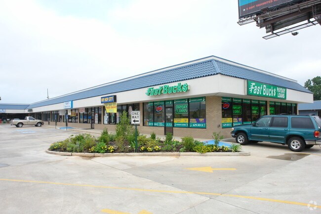
Property Detail
901 Benton Rd
Shreveport-Bossier City, LA
BEGIN AT THE INTERSECTION OF THE CENTERLINE OF LA STATE HWY 3 AND U S HWY 80, THENCE S 79 DEG 07 MIN 42 SEC W ALONG THE CENTE
150844
BOSSIER
Storebuilding
Louisiana
B and X Area of moderate flood hazard, usually the area between the limits of the 100-year and 500-year floods.
68
2025
1.40 AC
2025
Bossier Parish
011113
Shreveport/Bossier City
15,000 SF
NEARBY LISTINGS FOR SALE OR LEASE
DEMOGRAPHICS near 901 Benton Rd
1 mile
3 mile
5 mile
2025 Total Population
8,187
44,341
103,227
2030 Population
8,336
44,682
103,060
Pop Growth 2025-2030
+ 1.82%
+ 0.77%
(0.16%)
Average Age
36
39
39
2025 Total Households
3,439
18,662
43,807
HH Growth 2025-2030
+ 1.77%
+ 0.66%
(0.18%)
Median Household Inc
$34,338
$40,886
$50,856
Avg Household Size
2.30
2.20
2.20
2025 Avg HH Vehicles
1.00
1.00
2.00
Median Home Value
$110,499
$134,807
$171,122
Median Year Built
1971
1970
1970
Nearby Places
Map Layers
Map Styles
 Street
 Aerial
Layers
 Traffic
 Biking
Places
Listings with unknown addresses are not visible on the map
- Restaurants
- Banks
- Shops
- Fitness
- Groceries
PUBLIC TRANSPORTATION
AIRPORT
Shreveport Regional
Drive
Walk
Distance
Shreveport Regional
22 min
10.8 mi
Freight Ports
Port of Shreveport
Drive
Walk
Distance
Port of Shreveport
27 min
16.6 mi
SALE & LEASE HISTORY
LISTING DATE
SALE/LEASE

May 03, 2018
For Lease
Mar 20, 2017
For Lease
Feb 07, 2020
For Lease
Nearby Properties
Address
Land Use
TOTAL SIZE
Lot Size
Zoning
Address
Land Use
TOTAL SIZE
Lot Size
Zoning
0.78 AC
Address
Land Use
TOTAL SIZE
Lot Size
Zoning
66,239 SF
111 AC
Address
Land Use
TOTAL SIZE
Lot Size
Zoning
100 SF
7.17 AC
Address
Land Use
TOTAL SIZE
Lot Size
Zoning
239,598 SF
4.10 AC
Address
Land Use
TOTAL SIZE
Lot Size
Zoning
280,756 SF
3 AC
Address
Land Use
TOTAL SIZE
Lot Size
Zoning
166,418 SF
32 AC
Address
Land Use
TOTAL SIZE
Lot Size
Zoning
1,700 SF
28 AC
Address
Land Use
TOTAL SIZE
Lot Size
Zoning
66,828 SF
74.46 AC
Address
Land Use
TOTAL SIZE
Lot Size
Zoning
Address
Land Use
TOTAL SIZE
Lot Size
Zoning
100 SF
0.74 AC
Address
Land Use
TOTAL SIZE
Lot Size
Zoning
100 SF
3.37 AC
Address
Land Use
TOTAL SIZE
Lot Size
Zoning
128,389 SF
7.77 AC
Address
Land Use
TOTAL SIZE
Lot Size
Zoning
100 SF
1.34 AC
Address
Land Use
TOTAL SIZE
Lot Size
Zoning
100 SF
4.21 AC
Address
Land Use
TOTAL SIZE
Lot Size
Zoning
222,616 SF
0.28 AC
Address
Land Use
TOTAL SIZE
Lot Size
Zoning
100 SF
3.08 AC
Address
Land Use
TOTAL SIZE
Lot Size
Zoning
Address
Land Use
TOTAL SIZE
Lot Size
Zoning
192,369 SF
7 AC
Address
Land Use
TOTAL SIZE
Lot Size
Zoning
100 SF
4.19 AC
Address
Land Use
TOTAL SIZE
Lot Size
Zoning
100 SF
0.48 AC
Address
Land Use
TOTAL SIZE
Lot Size
Zoning
205,616 SF
0.63 AC
Address
Land Use
TOTAL SIZE
Lot Size
Zoning
100 SF
13.17 AC
Address
Land Use
TOTAL SIZE
Lot Size
Zoning
100 SF
2.48 AC
Address
Land Use
TOTAL SIZE
Lot Size
Zoning
Address
Land Use
TOTAL SIZE
Lot Size
Zoning
6,494 SF
74.46 AC
Address
Land Use
TOTAL SIZE
Lot Size
Zoning
107,841 SF
2 AC
Address
Land Use
TOTAL SIZE
Lot Size
Zoning
100 SF
6.52 AC
Address
Land Use
TOTAL SIZE
Lot Size
Zoning
100 SF
2.59 AC
Address
Land Use
TOTAL SIZE
Lot Size
Zoning
100 SF
3.98 AC
Address
Land Use
TOTAL SIZE
Lot Size
Zoning
100,000 SF
1.21 AC
The World's #1 Commercial Real Estate Marketplace
Connect with us
© 2026 CoStar Group
The information above has been obtained from sources believed reliable. While we do not doubt its accuracy we have not verified it and make no guarantee, warranty or representation about it. It is your responsibility to independently confirm its accuracy and completeness. Any projections, opinions, assumptions, or estimates used are for example only and do not represent the current or future performance of the property. The value of this transaction to you depends on tax and other factors which should be evaluated by your tax, financial, and legal advisors. You and your advisors should conduct a careful, independent investigation of the property to determine to your satisfaction the suitability of the property for your needs.