Property Record
901 Page Ave, Fremont, CA 94538


NEARBY LISTINGS FOR SALE OR LEASE
Property Detail
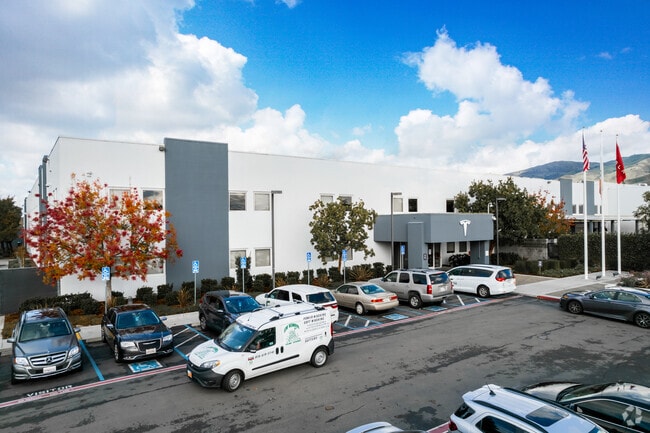
901 Page Ave
Oakland-Hayward-Berkeley, CA
Parcel Map 3672
519-1010-104-1
LOT: 00001 BLK: PM: 0133 PAGE: 0049 ;LOT: 00005 BLK: PM: 0121 PAGE: 0059
Lightindustrial
Alameda
A
California
06001C0606G
1
2024
29.89 AC
2025
Fremont
441503
East Bay/Oakland
506,490 SF
DEMOGRAPHICS near 901 Page Ave
1 Mile
3 Mile
5 Mile
2024 Total Population
8,286
58,160
189,595
2029 Population
8,104
56,777
183,850
Pop Growth 2024-2029
(2.20%)
(2.38%)
(3.03%)
Average Age
41
41
39
2024 Total Households
2,578
17,931
62,754
HH Growth 2024-2029
(1.44%)
(2.21%)
(3.13%)
Median Household Inc
$192,324
$164,898
$167,500
Avg Household Size
3.20
3.20
2.90
2024 Avg HH Vehicles
2.00
2.00
2.00
Median Home Value
$1,126,565
$1,099,795
$1,084,048
Median Year Built
1980
1982
1988
Nearby Places
Map Layers
Map Styles
 Street
 Aerial
- Restaurants
- Banks
- Shops
- Fitness
- Groceries
PUBLIC TRANSPORTATION
COMMUTER RAIL
Great America (Altamont Corridor Express - Altamont Commuter Express (ACE))
DRIVE
WALK
Distance
Great America (Altamont Corridor Express - Altamont Commuter Express (ACE))
15 min
8.6 mi
DRIVE
WALK
Distance
16 min
10.0 mi
AIRPORT
Norman Y Mineta San Jose International
DRIVE
WALK
Distance
Norman Y Mineta San Jose International
18 min
11.0 mi
Metro Oakland International
DRIVE
WALK
Distance
Metro Oakland International
37 min
27.1 mi
San Francisco International
DRIVE
WALK
Distance
San Francisco International
49 min
37.7 mi
Nearby Properties
Address
Land Use
TOTAL SIZE
Lot Size
Zoning
Address
Land Use
TOTAL SIZE
Lot Size
Zoning
663,216 SF
30.01 AC
Address
Land Use
TOTAL SIZE
Lot Size
Zoning
566,063 SF
6.62 AC
Address
Land Use
TOTAL SIZE
Lot Size
Zoning
4.11 AC
Address
Land Use
TOTAL SIZE
Lot Size
Zoning
214,630 SF
4.14 AC
Address
Land Use
TOTAL SIZE
Lot Size
Zoning
561,256 SF
36.49 AC
MP
Address
Land Use
TOTAL SIZE
Lot Size
Zoning
34.20 AC
MP
Address
Land Use
TOTAL SIZE
Lot Size
Zoning
349,743 SF
7.65 AC
Address
Land Use
TOTAL SIZE
Lot Size
Zoning
274,881 SF
22.33 AC
Address
Land Use
TOTAL SIZE
Lot Size
Zoning
470,228 SF
31.31 AC
I
Address
Land Use
TOTAL SIZE
Lot Size
Zoning
190,586 SF
4.40 AC
Address
Land Use
TOTAL SIZE
Lot Size
Zoning
245,214 SF
10.45 AC
Address
Land Use
TOTAL SIZE
Lot Size
Zoning
170,606 SF
15.41 AC
Address
Land Use
TOTAL SIZE
Lot Size
Zoning
259,966 SF
13.34 AC
Address
Land Use
TOTAL SIZE
Lot Size
Zoning
197,907 SF
9.52 AC
Address
Land Use
TOTAL SIZE
Lot Size
Zoning
209,252 SF
11.91 AC
Address
Land Use
TOTAL SIZE
Lot Size
Zoning
87,544 SF
4.31 AC
Address
Land Use
TOTAL SIZE
Lot Size
Zoning
110,970 SF
11.49 AC
Address
Land Use
TOTAL SIZE
Lot Size
Zoning
337,540 SF
18.19 AC
Address
Land Use
TOTAL SIZE
Lot Size
Zoning
177,157 SF
9.06 AC
Address
Land Use
TOTAL SIZE
Lot Size
Zoning
311,469 SF
16.72 AC
Address
Land Use
TOTAL SIZE
Lot Size
Zoning
371,636 SF
12.09 AC
Address
Land Use
TOTAL SIZE
Lot Size
Zoning
302,400 SF
15.79 AC
Address
Land Use
TOTAL SIZE
Lot Size
Zoning
243,900 SF
10.31 AC
RS
Address
Land Use
TOTAL SIZE
Lot Size
Zoning
141,468 SF
17.68 AC
TC
Address
Land Use
TOTAL SIZE
Lot Size
Zoning
107,000 SF
7.30 AC
Address
Land Use
TOTAL SIZE
Lot Size
Zoning
88,246 SF
6.51 AC
Address
Land Use
TOTAL SIZE
Lot Size
Zoning
114,600 SF
7.50 AC
Address
Land Use
TOTAL SIZE
Lot Size
Zoning
198,755 SF
9.31 AC
Address
Land Use
TOTAL SIZE
Lot Size
Zoning
84,468 SF
3.88 AC
The World's #1 Commercial Real Estate Marketplace
Connect with us
© 2025 CoStar Group
The information above has been obtained from sources believed reliable. While we do not doubt its accuracy we have not verified it and make no guarantee, warranty or representation about it. It is your responsibility to independently confirm its accuracy and completeness. Any projections, opinions, assumptions, or estimates used are for example only and do not represent the current or future performance of the property. The value of this transaction to you depends on tax and other factors which should be evaluated by your tax, financial, and legal advisors. You and your advisors should conduct a careful, independent investigation of the property to determine to your satisfaction the suitability of the property for your needs.