Property Record
9015 Vernon Rd, Lake Stevens, WA 98258


NEARBY LISTINGS FOR SALE OR LEASE
Property Detail
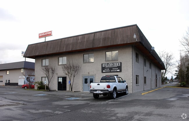
9015 Vernon Rd
Seattle-Tacoma-Bellevue, WA
Frontier Heights #2
290513-002-007-00
SEC 13 TWP 29 RGE 05 LOT 2 OF PFN 96-102835 REC AF NO 9708085001 BEING A PTN OF SE1/4 NW1/4
Industrialgeneral
Snohomish
X
Washington
53061C0738F
2
2024
4.45 AC
2025
N Snohomish County
052706
Seattle/Puget Sound
44,800 SF
DEMOGRAPHICS near 9015 Vernon Rd
1 Mile
3 Mile
5 Mile
2024 Total Population
11,424
58,601
123,630
2029 Population
12,031
61,816
129,729
Pop Growth 2024-2029
+ 5.31%
+ 5.49%
+ 4.93%
Average Age
37
36
38
2024 Total Households
4,062
19,625
44,508
HH Growth 2024-2029
+ 5.51%
+ 5.54%
+ 4.99%
Median Household Inc
$102,729
$112,567
$98,017
Avg Household Size
2.80
3.00
2.70
2024 Avg HH Vehicles
2.00
2.00
2.00
Median Home Value
$535,454
$598,829
$552,775
Median Year Built
1999
1998
1991
Nearby Places
Map Layers
Map Styles
 Street
 Aerial
- Restaurants
- Banks
- Shops
- Fitness
- Groceries
PUBLIC TRANSPORTATION
COMMUTER RAIL
Everett Station (Sounder South Line - Central Puget Sound Regional Transit Authority Rail (Link Light Rail/Sounder))
DRIVE
WALK
Distance
Everett Station (Sounder South Line - Central Puget Sound Regional Transit Authority Rail (Link Light Rail/Sounder))
11 min
5.5 mi
AIRPORT
Seattle-Tacoma International
DRIVE
WALK
Distance
Seattle-Tacoma International
51 min
46.6 mi
Nearby Properties
Address
Land Use
TOTAL SIZE
Lot Size
Zoning
Address
Land Use
TOTAL SIZE
Lot Size
Zoning
300,682 SF
35.61 AC
P/SP
Address
Land Use
TOTAL SIZE
Lot Size
Zoning
226,994 SF
18.28 AC
P/SP
Address
Land Use
TOTAL SIZE
Lot Size
Zoning
103,016 SF
31.34 AC
P/SP
Address
Land Use
TOTAL SIZE
Lot Size
Zoning
141,942 SF
24.69 AC
P/SP
Address
Land Use
TOTAL SIZE
Lot Size
Zoning
125,434 SF
11.43 AC
CD
Address
Land Use
TOTAL SIZE
Lot Size
Zoning
76,644 SF
8.47 AC
CD
Address
Land Use
TOTAL SIZE
Lot Size
Zoning
76,968 SF
3.22 AC
P/SP
Address
Land Use
TOTAL SIZE
Lot Size
Zoning
33,845 SF
3.48 AC
Address
Land Use
TOTAL SIZE
Lot Size
Zoning
24.76 AC
P/SP
Address
Land Use
TOTAL SIZE
Lot Size
Zoning
60,586 SF
11.11 AC
CD
Address
Land Use
TOTAL SIZE
Lot Size
Zoning
106,900 SF
1.97 AC
LB
Address
Land Use
TOTAL SIZE
Lot Size
Zoning
35,452 SF
13.64 AC
P/SP
Address
Land Use
TOTAL SIZE
Lot Size
Zoning
22,618 SF
18.41 AC
P/SP
Address
Land Use
TOTAL SIZE
Lot Size
Zoning
62,728 SF
2.01 AC
CD
Address
Land Use
TOTAL SIZE
Lot Size
Zoning
96,505 SF
6.89 AC
GIDA
Address
Land Use
TOTAL SIZE
Lot Size
Zoning
58,495 SF
3.21 AC
CD
Address
Land Use
TOTAL SIZE
Lot Size
Zoning
44,328 SF
1.27 AC
MFR
Address
Land Use
TOTAL SIZE
Lot Size
Zoning
11.39 AC
P/SP
Address
Land Use
TOTAL SIZE
Lot Size
Zoning
12.14 AC
P/SP
Address
Land Use
TOTAL SIZE
Lot Size
Zoning
55,615 SF
5.06 AC
R8-12
Address
Land Use
TOTAL SIZE
Lot Size
Zoning
9,502 SF
1.65 AC
CD
Address
Land Use
TOTAL SIZE
Lot Size
Zoning
183,412 SF
8.13 AC
MUN
Address
Land Use
TOTAL SIZE
Lot Size
Zoning
25,080 SF
5.08 AC
R6
Address
Land Use
TOTAL SIZE
Lot Size
Zoning
46,963 SF
3.91 AC
CD
Address
Land Use
TOTAL SIZE
Lot Size
Zoning
18.34 AC
P/SP
Address
Land Use
TOTAL SIZE
Lot Size
Zoning
37,545 SF
2.98 AC
CBD
Address
Land Use
TOTAL SIZE
Lot Size
Zoning
21,133 SF
2.47 AC
CD
Address
Land Use
TOTAL SIZE
Lot Size
Zoning
930 SF
1 AC
P/SP
Address
Land Use
TOTAL SIZE
Lot Size
Zoning
14.19 AC
The World's #1 Commercial Real Estate Marketplace
Connect with us
© 2026 CoStar Group
The information above has been obtained from sources believed reliable. While we do not doubt its accuracy we have not verified it and make no guarantee, warranty or representation about it. It is your responsibility to independently confirm its accuracy and completeness. Any projections, opinions, assumptions, or estimates used are for example only and do not represent the current or future performance of the property. The value of this transaction to you depends on tax and other factors which should be evaluated by your tax, financial, and legal advisors. You and your advisors should conduct a careful, independent investigation of the property to determine to your satisfaction the suitability of the property for your needs.