Property Record
9028 Walnut Grove Rd, Cordova, TN 38018


NEARBY LISTINGS FOR SALE OR LEASE
Property Detail
9028 Walnut Grove Rd
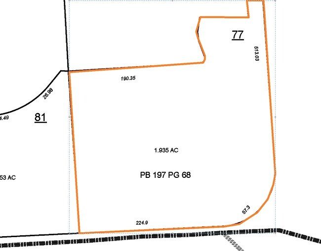
09-1087-0-0077
Riveredge C-P Ph 1
Storebuilding
NS WALNUT GROVE RD COR FOREST HILL-IRENE RD (NW) SEE MAP D2-21Y (TILE# 362 & 377)
X
Shelby
47157C0320G
Tennessee
2024
1.94 AC
2025
Cordova
021138
Memphis
15,406 SF
Memphis, TN-MS-AR
DEMOGRAPHICS near 9028 Walnut Grove Rd
1 Mile
3 Mile
5 Mile
2024 Total Population
5,565
46,641
124,810
2029 Population
5,414
45,528
121,516
Pop Growth 2024-2029
(2.71%)
(2.39%)
(2.64%)
Average Age
41
40
40
2024 Total Households
2,036
18,383
48,934
HH Growth 2024-2029
(2.90%)
(2.38%)
(2.68%)
Median Household Inc
$113,582
$102,982
$95,325
Avg Household Size
2.70
2.50
2.50
2024 Avg HH Vehicles
2.00
2.00
2.00
Median Home Value
$283,463
$297,442
$310,538
Median Year Built
1993
1993
1992
Nearby Places
Map Layers
Map Styles
 Street
 Aerial
- Restaurants
- Banks
- Shops
- Fitness
- Groceries
PUBLIC TRANSPORTATION
AIRPORT
Memphis International
DRIVE
WALK
Distance
Memphis International
29 min
19.1 mi
Freight Ports
Port of Shreveport
DRIVE
WALK
Distance
Port of Shreveport
425 min
389.1 mi
SALE & LEASE HISTORY
LISTING DATE
SALE/LEASE

Dec 10, 2020
For Sale
Nearby Properties
Address
Land Use
TOTAL SIZE
Lot Size
Zoning
Address
Land Use
TOTAL SIZE
Lot Size
Zoning
92,452 SF
5 AC
O
Address
Land Use
TOTAL SIZE
Lot Size
Zoning
399,358 SF
4.69 AC
C-2
Address
Land Use
TOTAL SIZE
Lot Size
Zoning
175,984 SF
22.75 AC
RU-4
Address
Land Use
TOTAL SIZE
Lot Size
Zoning
30.93 AC
R
Address
Land Use
TOTAL SIZE
Lot Size
Zoning
1,919.25 AC
CA
Address
Land Use
TOTAL SIZE
Lot Size
Zoning
57,751 SF
7.36 AC
O
Address
Land Use
TOTAL SIZE
Lot Size
Zoning
196,088 SF
5.28 AC
C-2
Address
Land Use
TOTAL SIZE
Lot Size
Zoning
358,137 SF
32.19 AC
RU-3
Address
Land Use
TOTAL SIZE
Lot Size
Zoning
159,917 SF
9.61 AC
O-51
Address
Land Use
TOTAL SIZE
Lot Size
Zoning
375,848 SF
27.49 AC
R-H
Address
Land Use
TOTAL SIZE
Lot Size
Zoning
83,821 SF
39.50 AC
RU-3
Address
Land Use
TOTAL SIZE
Lot Size
Zoning
93,713 SF
17.70 AC
CA
Address
Land Use
TOTAL SIZE
Lot Size
Zoning
91,232 SF
21.66 AC
IH
Address
Land Use
TOTAL SIZE
Lot Size
Zoning
35,313 SF
22.81 AC
RU-3
Address
Land Use
TOTAL SIZE
Lot Size
Zoning
126,790 SF
35.47 AC
R-1
Address
Land Use
TOTAL SIZE
Lot Size
Zoning
54,560 SF
17.29 AC
RU-2
Address
Land Use
TOTAL SIZE
Lot Size
Zoning
64,807 SF
6.08 AC
C-2
Address
Land Use
TOTAL SIZE
Lot Size
Zoning
50,218 SF
30.77 AC
R-T
Address
Land Use
TOTAL SIZE
Lot Size
Zoning
43.88 AC
R-10
Address
Land Use
TOTAL SIZE
Lot Size
Zoning
234,360 SF
22.12 AC
IH
Address
Land Use
TOTAL SIZE
Lot Size
Zoning
223,023 SF
20.31 AC
IH
Address
Land Use
TOTAL SIZE
Lot Size
Zoning
124.99 AC
R-1
Address
Land Use
TOTAL SIZE
Lot Size
Zoning
35,661 SF
25.53 AC
CA
Address
Land Use
TOTAL SIZE
Lot Size
Zoning
65,907 SF
8.34 AC
IH
Address
Land Use
TOTAL SIZE
Lot Size
Zoning
56,738 SF
4.84 AC
O
Address
Land Use
TOTAL SIZE
Lot Size
Zoning
10.09 AC
O
Address
Land Use
TOTAL SIZE
Lot Size
Zoning
45,595 SF
19.54 AC
RU-2
Address
Land Use
TOTAL SIZE
Lot Size
Zoning
59,710 SF
4.21 AC
O
Address
Land Use
TOTAL SIZE
Lot Size
Zoning
12,222 SF
2.50 AC
O
Address
Land Use
TOTAL SIZE
Lot Size
Zoning
15,792 SF
2.07 AC
IH
The World's #1 Commercial Real Estate Marketplace
Connect with us
© 2026 CoStar Group
The information above has been obtained from sources believed reliable. While we do not doubt its accuracy we have not verified it and make no guarantee, warranty or representation about it. It is your responsibility to independently confirm its accuracy and completeness. Any projections, opinions, assumptions, or estimates used are for example only and do not represent the current or future performance of the property. The value of this transaction to you depends on tax and other factors which should be evaluated by your tax, financial, and legal advisors. You and your advisors should conduct a careful, independent investigation of the property to determine to your satisfaction the suitability of the property for your needs.