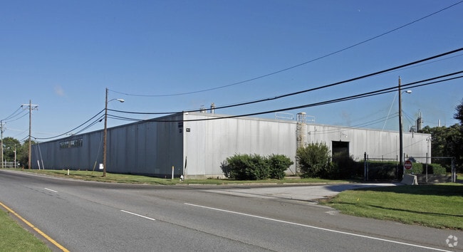
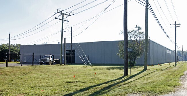
Property Record
905 E Randolph Rd, Hopewell, VA 23860

Property Detail
905 E Randolph Rd
Richmond, VA
137.057 AC-LT 1 HONEYWELL IN
048-0015
Hopewell City
Commercialnec
Virginia
M2
1
B and X Area of moderate flood hazard, usually the area between the limits of the 100-year and 500-year floods.
137.06 AC
2025
TriCities
2025
Richmond VA
980100
NEARBY LISTINGS FOR SALE OR LEASE
DEMOGRAPHICS near 905 E Randolph Rd
1 mile
3 mile
5 mile
2025 Total Population
2,039
21,406
43,764
2030 Population
2,055
21,434
44,210
Pop Growth 2025-2030
+ 0.78%
+ 0.13%
+ 1.02%
Average Age
38
40
40
2025 Total Households
900
8,634
15,902
HH Growth 2025-2030
+ 0.78%
+ 0.16%
+ 1.08%
Median Household Inc
$40,048
$52,171
$66,451
Avg Household Size
2.30
2.50
2.50
2025 Avg HH Vehicles
1.00
2.00
2.00
Median Home Value
$159,090
$181,635
$239,287
Median Year Built
1961
1967
1977
Nearby Places
Map Layers
Map Styles
 Street
 Aerial
Layers
 Traffic
 Biking
Places
Listings with unknown addresses are not visible on the map
- Restaurants
- Banks
- Shops
- Fitness
- Groceries
PUBLIC TRANSPORTATION
AIRPORT
Richmond International
Drive
Walk
Distance
Richmond International
32 min
21.7 mi
Freight Ports
Virginia Port Authority - Richmond
Drive
Walk
Distance
Virginia Port Authority - Richmond
29 min
18.7 mi
Nearby Properties
Address
Land Use
TOTAL SIZE
Lot Size
Zoning
Address
Land Use
TOTAL SIZE
Lot Size
Zoning
164.03 AC
M2
Address
Land Use
TOTAL SIZE
Lot Size
Zoning
12,840 SF
389 AC
M2
Address
Land Use
TOTAL SIZE
Lot Size
Zoning
459.55 AC
I3 - HVY I
Address
Land Use
TOTAL SIZE
Lot Size
Zoning
177,075 SF
110.41 AC
R2
Address
Land Use
TOTAL SIZE
Lot Size
Zoning
1,512 SF
141.06 AC
TH
Address
Land Use
TOTAL SIZE
Lot Size
Zoning
13.70 AC
B2
Address
Land Use
TOTAL SIZE
Lot Size
Zoning
702 SF
34.72 AC
M2
Address
Land Use
TOTAL SIZE
Lot Size
Zoning
356.70 AC
I3 - HVY I
Address
Land Use
TOTAL SIZE
Lot Size
Zoning
10.09 AC
R4
Address
Land Use
TOTAL SIZE
Lot Size
Zoning
29,585 SF
5.67 AC
R4
Address
Land Use
TOTAL SIZE
Lot Size
Zoning
8,000 SF
52.80 AC
M2
Address
Land Use
TOTAL SIZE
Lot Size
Zoning
35,224 SF
3.87 AC
B1
Address
Land Use
TOTAL SIZE
Lot Size
Zoning
11,250 SF
7.36 AC
M2
Address
Land Use
TOTAL SIZE
Lot Size
Zoning
196.75 AC
A - AGRICU
Address
Land Use
TOTAL SIZE
Lot Size
Zoning
45,515 SF
4.28 AC
B2
Address
Land Use
TOTAL SIZE
Lot Size
Zoning
79,889 SF
16.67 AC
R3
Address
Land Use
TOTAL SIZE
Lot Size
Zoning
107.38 AC
M2
Address
Land Use
TOTAL SIZE
Lot Size
Zoning
0.25 AC
B1
Address
Land Use
TOTAL SIZE
Lot Size
Zoning
3.65 AC
R4
Address
Land Use
TOTAL SIZE
Lot Size
Zoning
4.20 AC
R4
Address
Land Use
TOTAL SIZE
Lot Size
Zoning
19,638 SF
3.32 AC
M2
Address
Land Use
TOTAL SIZE
Lot Size
Zoning
12.46 AC
R4
Address
Land Use
TOTAL SIZE
Lot Size
Zoning
79,889 SF
8.80 AC
R2
Address
Land Use
TOTAL SIZE
Lot Size
Zoning
87.92 AC
M2
Address
Land Use
TOTAL SIZE
Lot Size
Zoning
83,824 SF
0.80 AC
B1
Address
Land Use
TOTAL SIZE
Lot Size
Zoning
3,021 SF
M2
Address
Land Use
TOTAL SIZE
Lot Size
Zoning
2.95 AC
B1
Address
Land Use
TOTAL SIZE
Lot Size
Zoning
63,336 SF
3.72 AC
R2
Address
Land Use
TOTAL SIZE
Lot Size
Zoning
283,862 SF
22.89 AC
B3
The World's #1 Commercial Real Estate Marketplace
Connect with us
© 2026 CoStar Group
The information above has been obtained from sources believed reliable. While we do not doubt its accuracy we have not verified it and make no guarantee, warranty or representation about it. It is your responsibility to independently confirm its accuracy and completeness. Any projections, opinions, assumptions, or estimates used are for example only and do not represent the current or future performance of the property. The value of this transaction to you depends on tax and other factors which should be evaluated by your tax, financial, and legal advisors. You and your advisors should conduct a careful, independent investigation of the property to determine to your satisfaction the suitability of the property for your needs.