Property Record
9089 Immokalee Rd, Naples, FL 34120

NEARBY LISTINGS FOR SALE OR LEASE
-
-
View all Naples listings for sale on LoopNet.com
Property Detail
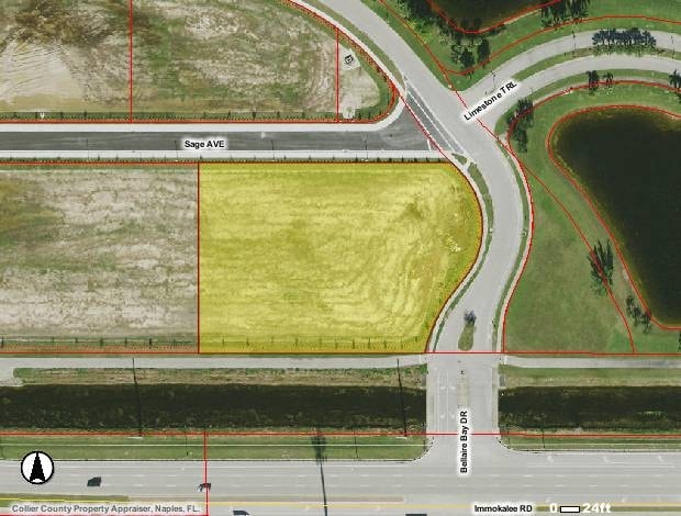
9089 Immokalee Rd
Naples-Marco Island, FL
Heritage Bay Commons Tr D Rep Replat
49660084524
HERITAGE BAY COMMONS TRACT D REPLAT LOT 4
Servicestation
Collier
AE
Florida
12021C0218H
4
2024
1.74 AC
2025
Outlying Collier County
011210
Southwest Florida
5,651 SF
DEMOGRAPHICS near 9089 Immokalee Rd
1 mile
3 mile
5 mile
2024 Total Population
5,550
33,918
78,668
2029 Population
6,358
38,319
89,737
Pop Growth 2024-2029
+ 14.56%
+ 12.98%
+ 14.07%
Average Age
42
45
49
2024 Total Households
2,098
13,153
33,307
HH Growth 2024-2029
+ 14.06%
+ 12.53%
+ 14.04%
Median Household Inc
$73,941
$84,533
$89,025
Avg Household Size
2.60
2.50
2.30
2024 Avg HH Vehicles
2.00
2.00
2.00
Median Home Value
$389,975
$497,097
$471,345
Median Year Built
2010
2007
2005
Nearby Places
Map Layers
Map Styles
 Street
 Aerial
Transit
 Traffic
 Biking
Places
Listings with unknown addresses are not visible on the map
- Restaurants
- Banks
- Shops
- Fitness
- Groceries
PUBLIC TRANSPORTATION
AIRPORT
Southwest Florida International
Drive
Walk
Distance
Southwest Florida International
35 min
26.5 mi
Nearby Properties
Address
Land Use
TOTAL SIZE
Lot Size
Zoning
Address
Land Use
TOTAL SIZE
Lot Size
Zoning
465,208 SF
17.72 AC
Address
Land Use
TOTAL SIZE
Lot Size
Zoning
463,985 SF
28.48 AC
Address
Land Use
TOTAL SIZE
Lot Size
Zoning
312,140 SF
15 AC
Address
Land Use
TOTAL SIZE
Lot Size
Zoning
275,219 SF
16.20 AC
Address
Land Use
TOTAL SIZE
Lot Size
Zoning
376,493 SF
65.03 AC
RSF-3
Address
Land Use
TOTAL SIZE
Lot Size
Zoning
52,982 SF
10.58 AC
Address
Land Use
TOTAL SIZE
Lot Size
Zoning
142,737 SF
37.48 AC
A
Address
Land Use
TOTAL SIZE
Lot Size
Zoning
50,994 SF
37.60 AC
A-MHO
Address
Land Use
TOTAL SIZE
Lot Size
Zoning
41,465 SF
3.36 AC
PUD
Address
Land Use
TOTAL SIZE
Lot Size
Zoning
115,552 SF
13.20 AC
PUD
Address
Land Use
TOTAL SIZE
Lot Size
Zoning
104,470 SF
13.06 AC
PUD
Address
Land Use
TOTAL SIZE
Lot Size
Zoning
22,099 SF
7.73 AC
PUD
Address
Land Use
TOTAL SIZE
Lot Size
Zoning
113,867 SF
6.90 AC
PUD
Address
Land Use
TOTAL SIZE
Lot Size
Zoning
86,254 SF
18.57 AC
A
Address
Land Use
TOTAL SIZE
Lot Size
Zoning
54,140 SF
50.66 AC
PUD
Address
Land Use
TOTAL SIZE
Lot Size
Zoning
46,820 SF
7.02 AC
PUD
Address
Land Use
TOTAL SIZE
Lot Size
Zoning
39,728 SF
5.74 AC
Address
Land Use
TOTAL SIZE
Lot Size
Zoning
61,688 SF
2.65 AC
Address
Land Use
TOTAL SIZE
Lot Size
Zoning
40,045 SF
35.33 AC
A-MHO
Address
Land Use
TOTAL SIZE
Lot Size
Zoning
59,616 SF
2.51 AC
Address
Land Use
TOTAL SIZE
Lot Size
Zoning
84,474 SF
18.16 AC
PUD
Address
Land Use
TOTAL SIZE
Lot Size
Zoning
35,947 SF
17.33 AC
A
Address
Land Use
TOTAL SIZE
Lot Size
Zoning
80,145 SF
9.30 AC
PUD
Address
Land Use
TOTAL SIZE
Lot Size
Zoning
110,133 SF
2.30 AC
Address
Land Use
TOTAL SIZE
Lot Size
Zoning
92,070 SF
2.37 AC
Address
Land Use
TOTAL SIZE
Lot Size
Zoning
104,640 SF
1.82 AC
Address
Land Use
TOTAL SIZE
Lot Size
Zoning
42,231 SF
1,027.79 AC
A-MHO
Address
Land Use
TOTAL SIZE
Lot Size
Zoning
61,585 SF
4.15 AC
PUD
Address
Land Use
TOTAL SIZE
Lot Size
Zoning
34,040 SF
2.74 AC
Address
Land Use
TOTAL SIZE
Lot Size
Zoning
36,740 SF
3.43 AC
The World's #1 Commercial Real Estate Marketplace
Connect with us
© 2026 CoStar Group
The information above has been obtained from sources believed reliable. While we do not doubt its accuracy we have not verified it and make no guarantee, warranty or representation about it. It is your responsibility to independently confirm its accuracy and completeness. Any projections, opinions, assumptions, or estimates used are for example only and do not represent the current or future performance of the property. The value of this transaction to you depends on tax and other factors which should be evaluated by your tax, financial, and legal advisors. You and your advisors should conduct a careful, independent investigation of the property to determine to your satisfaction the suitability of the property for your needs.