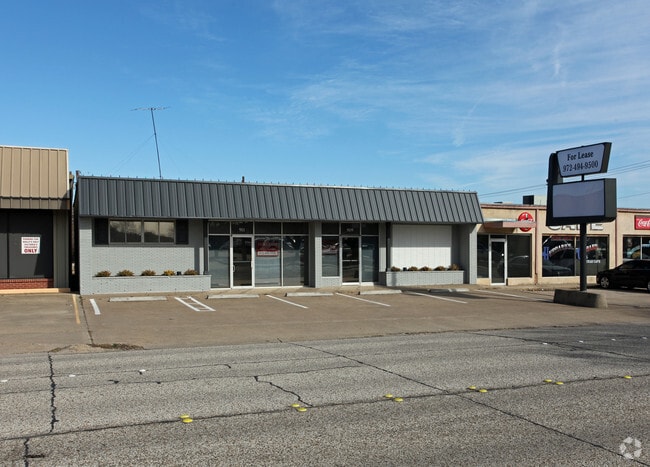
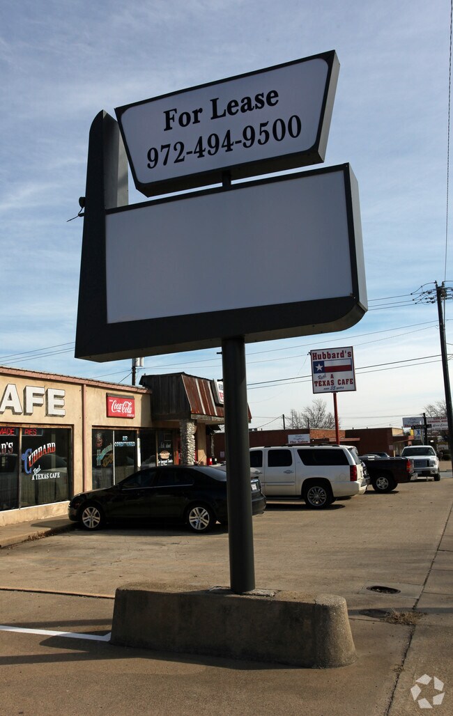
Property Record
909 Main St, Garland, TX 75040
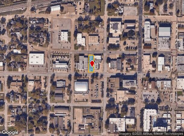
NEARBY LISTINGS FOR SALE OR LEASE
Property Detail
909 Main St
Dallas-Fort Worth-Arlington, TX
Holfords
26266500000040000
HOLFORDS LT 0004 5 LT 5 & PT LTS 1 & 3 5X90 INT201200342562 DD11142012 CO-DC 2665000000400 2CG26650000
Officebuilding
Dallas
X
Texas
48113C0220L
4
2024
0.24 AC
2025
Garland
018802
Dallas/Ft Worth
3,300 SF
DEMOGRAPHICS near 909 Main St
1 Mile
3 Mile
5 Mile
2024 Total Population
12,386
128,105
342,642
2029 Population
12,303
126,207
338,780
Pop Growth 2024-2029
(0.67%)
(1.48%)
(1.13%)
Average Age
36
37
37
2024 Total Households
3,948
40,109
118,598
HH Growth 2024-2029
(0.84%)
(1.73%)
(1.30%)
Median Household Inc
$55,013
$60,875
$63,731
Avg Household Size
3.10
3.10
2.80
2024 Avg HH Vehicles
2.00
2.00
2.00
Median Home Value
$165,374
$209,205
$244,906
Median Year Built
1959
1973
1978
Nearby Places
Map Layers
Map Styles
 Street
 Aerial
- Restaurants
- Banks
- Shops
- Fitness
- Groceries
PUBLIC TRANSPORTATION
AIRPORT
Dallas Love Field
DRIVE
WALK
Distance
Dallas Love Field
32 min
17.3 mi
Dallas-Fort Worth International
DRIVE
WALK
Distance
Dallas-Fort Worth International
39 min
29.3 mi
Nearby Properties
Address
Land Use
TOTAL SIZE
Lot Size
Zoning
Address
Land Use
TOTAL SIZE
Lot Size
Zoning
181,854 SF
14.51 AC
Z239
Address
Land Use
TOTAL SIZE
Lot Size
Zoning
107,686 SF
30.09 AC
Z386
Address
Land Use
TOTAL SIZE
Lot Size
Zoning
472,244 SF
25.25 AC
Z144
Address
Land Use
TOTAL SIZE
Lot Size
Zoning
65,595 SF
19.22 AC
Z239
Address
Land Use
TOTAL SIZE
Lot Size
Zoning
286,500 SF
14.98 AC
Z160
Address
Land Use
TOTAL SIZE
Lot Size
Zoning
468,220 SF
20.60 AC
Z144
Address
Land Use
TOTAL SIZE
Lot Size
Zoning
187,440 SF
1.68 AC
Z25
Address
Land Use
TOTAL SIZE
Lot Size
Zoning
77,102 SF
27.47 AC
Z144
Address
Land Use
TOTAL SIZE
Lot Size
Zoning
382,000 SF
20.11 AC
Address
Land Use
TOTAL SIZE
Lot Size
Zoning
226,524 SF
10.31 AC
Z160
Address
Land Use
TOTAL SIZE
Lot Size
Zoning
227,624 SF
10.31 AC
Z160
Address
Land Use
TOTAL SIZE
Lot Size
Zoning
392,736 SF
19.58 AC
Z144
Address
Land Use
TOTAL SIZE
Lot Size
Zoning
198,950 SF
10 AC
Z160
Address
Land Use
TOTAL SIZE
Lot Size
Zoning
327,600 SF
17.70 AC
Z144
Address
Land Use
TOTAL SIZE
Lot Size
Zoning
225,643 SF
10.42 AC
Z239
Address
Land Use
TOTAL SIZE
Lot Size
Zoning
198,488 SF
10.17 AC
Z239
Address
Land Use
TOTAL SIZE
Lot Size
Zoning
240,756 SF
12.50 AC
Z160
Address
Land Use
TOTAL SIZE
Lot Size
Zoning
870,902 SF
53.53 AC
Z144
Address
Land Use
TOTAL SIZE
Lot Size
Zoning
163,965 SF
12.09 AC
Z239
Address
Land Use
TOTAL SIZE
Lot Size
Zoning
223,969 SF
12.09 AC
Z160
Address
Land Use
TOTAL SIZE
Lot Size
Zoning
180,320 SF
10.66 AC
Z160
Address
Land Use
TOTAL SIZE
Lot Size
Zoning
582,968 SF
47.27 AC
Z109
Address
Land Use
TOTAL SIZE
Lot Size
Zoning
331,200 SF
15.96 AC
Z144
Address
Land Use
TOTAL SIZE
Lot Size
Zoning
168,537 SF
2 AC
Address
Land Use
TOTAL SIZE
Lot Size
Zoning
138,865 SF
11.38 AC
Z239
Address
Land Use
TOTAL SIZE
Lot Size
Zoning
139,133 SF
3.34 AC
Z239
Address
Land Use
TOTAL SIZE
Lot Size
Zoning
201,284 SF
12.25 AC
Z160
Address
Land Use
TOTAL SIZE
Lot Size
Zoning
133,249 SF
9.71 AC
Z239
Address
Land Use
TOTAL SIZE
Lot Size
Zoning
59,546 SF
60.69 AC
Z390
Address
Land Use
TOTAL SIZE
Lot Size
Zoning
65,917 SF
7.99 AC
Z239
The World's #1 Commercial Real Estate Marketplace
Connect with us
© 2025 CoStar Group
The information above has been obtained from sources believed reliable. While we do not doubt its accuracy we have not verified it and make no guarantee, warranty or representation about it. It is your responsibility to independently confirm its accuracy and completeness. Any projections, opinions, assumptions, or estimates used are for example only and do not represent the current or future performance of the property. The value of this transaction to you depends on tax and other factors which should be evaluated by your tax, financial, and legal advisors. You and your advisors should conduct a careful, independent investigation of the property to determine to your satisfaction the suitability of the property for your needs.