Property Record
133 Westhaven Meadows Dr, Belleville, IL 62220


NEARBY LISTINGS FOR SALE OR LEASE
Property Detail
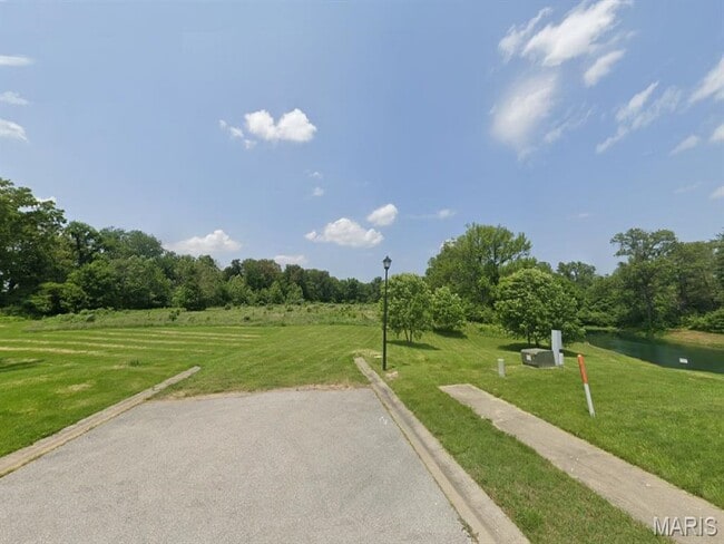
133 Westhaven Meadows Dr
St. Louis
Westhaven Meadows
St. Louis, MO-IL
WESTHAVEN MEADOWS PHASE 2 LOT 91 A02815854
08-33.0-203-018
St. Clair
Residentialacreage
Illinois
2024
91
2024
0.17 AC
503304
Illinois
DEMOGRAPHICS near 133 Westhaven Meadows Dr
1 Mile
3 Mile
5 Mile
2024 Total Population
3,770
31,565
69,023
2029 Population
3,673
31,038
67,384
Pop Growth 2024-2029
(2.57%)
(1.67%)
(2.37%)
Average Age
41
41
41
2024 Total Households
1,515
13,208
29,165
HH Growth 2024-2029
(2.51%)
(1.66%)
(2.38%)
Median Household Inc
$71,174
$56,661
$66,933
Avg Household Size
2.40
2.20
2.30
2024 Avg HH Vehicles
2.00
2.00
2.00
Median Home Value
$170,438
$138,773
$172,222
Median Year Built
1979
1958
1972
Nearby Places
Map Layers
Map Styles
 Street
 Aerial
- Restaurants
- Banks
- Shops
- Fitness
- Groceries
PUBLIC TRANSPORTATION
COMMUTER RAIL
Belleville (Lambert Airport Shiloh-Scott - St. Louis MetroLink (MetroLink))
DRIVE
WALK
Distance
Belleville (Lambert Airport Shiloh-Scott - St. Louis MetroLink (MetroLink))
6 min
3.0 mi
Swansea (Lambert Airport Shiloh-Scott - St. Louis MetroLink (MetroLink))
DRIVE
WALK
Distance
Swansea (Lambert Airport Shiloh-Scott - St. Louis MetroLink (MetroLink))
7 min
3.7 mi
AIRPORT
Scott AFB/Midamerica St Louis
DRIVE
WALK
Distance
Scott AFB/Midamerica St Louis
25 min
12.6 mi
St Louis Lambert International
DRIVE
WALK
Distance
St Louis Lambert International
43 min
29.4 mi
Freight Ports
Port Milwaukee
DRIVE
WALK
Distance
Port Milwaukee
424 min
370.1 mi
Nearby Properties
Address
Land Use
TOTAL SIZE
Lot Size
Zoning
Address
Land Use
TOTAL SIZE
Lot Size
Zoning
20,522 SF
6.42 AC
Address
Land Use
TOTAL SIZE
Lot Size
Zoning
Address
Land Use
TOTAL SIZE
Lot Size
Zoning
19,576 SF
22.78 AC
Address
Land Use
TOTAL SIZE
Lot Size
Zoning
126,937 SF
11.98 AC
Address
Land Use
TOTAL SIZE
Lot Size
Zoning
13,546 SF
11.19 AC
Address
Land Use
TOTAL SIZE
Lot Size
Zoning
86,482 SF
8 AC
Address
Land Use
TOTAL SIZE
Lot Size
Zoning
155,488 SF
16.54 AC
Address
Land Use
TOTAL SIZE
Lot Size
Zoning
15,839 SF
5.96 AC
Address
Land Use
TOTAL SIZE
Lot Size
Zoning
88,468 SF
10.48 AC
Address
Land Use
TOTAL SIZE
Lot Size
Zoning
4,818 SF
3.64 AC
Address
Land Use
TOTAL SIZE
Lot Size
Zoning
23,951 SF
0.89 AC
Address
Land Use
TOTAL SIZE
Lot Size
Zoning
30,000 SF
9.05 AC
Address
Land Use
TOTAL SIZE
Lot Size
Zoning
12,010 SF
2.49 AC
Address
Land Use
TOTAL SIZE
Lot Size
Zoning
47,369 SF
4.17 AC
Address
Land Use
TOTAL SIZE
Lot Size
Zoning
12.99 AC
Address
Land Use
TOTAL SIZE
Lot Size
Zoning
45,394 SF
4.13 AC
Address
Land Use
TOTAL SIZE
Lot Size
Zoning
5,872 SF
1.15 AC
Address
Land Use
TOTAL SIZE
Lot Size
Zoning
52,232 SF
4.06 AC
Address
Land Use
TOTAL SIZE
Lot Size
Zoning
30,779 SF
3.26 AC
Address
Land Use
TOTAL SIZE
Lot Size
Zoning
2.98 AC
Address
Land Use
TOTAL SIZE
Lot Size
Zoning
61,340 SF
16.33 AC
Address
Land Use
TOTAL SIZE
Lot Size
Zoning
27,410 SF
2.64 AC
Address
Land Use
TOTAL SIZE
Lot Size
Zoning
13,028 SF
1.46 AC
Address
Land Use
TOTAL SIZE
Lot Size
Zoning
5,456 SF
1.42 AC
Address
Land Use
TOTAL SIZE
Lot Size
Zoning
8,088 SF
7.07 AC
Address
Land Use
TOTAL SIZE
Lot Size
Zoning
Address
Land Use
TOTAL SIZE
Lot Size
Zoning
50,617 SF
8.70 AC
Address
Land Use
TOTAL SIZE
Lot Size
Zoning
9,113 SF
0.76 AC
Address
Land Use
TOTAL SIZE
Lot Size
Zoning
2.72 AC
Address
Land Use
TOTAL SIZE
Lot Size
Zoning
2,850 SF
22.54 AC
The World's #1 Commercial Real Estate Marketplace
Connect with us
© 2026 CoStar Group
The information above has been obtained from sources believed reliable. While we do not doubt its accuracy we have not verified it and make no guarantee, warranty or representation about it. It is your responsibility to independently confirm its accuracy and completeness. Any projections, opinions, assumptions, or estimates used are for example only and do not represent the current or future performance of the property. The value of this transaction to you depends on tax and other factors which should be evaluated by your tax, financial, and legal advisors. You and your advisors should conduct a careful, independent investigation of the property to determine to your satisfaction the suitability of the property for your needs.