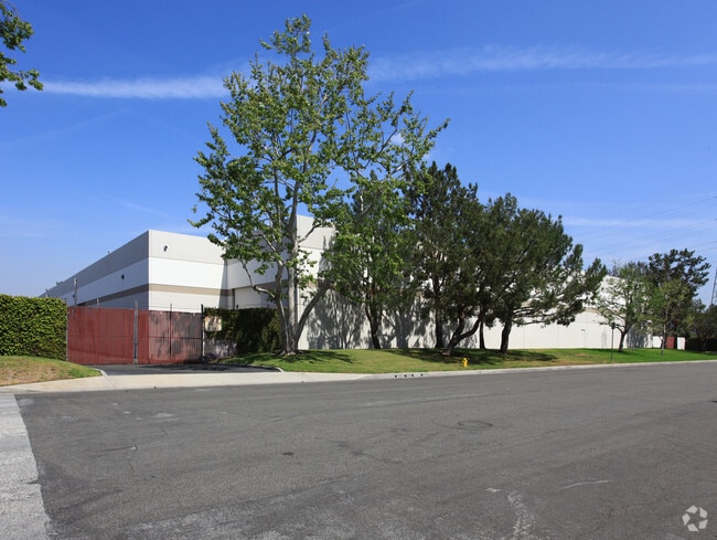
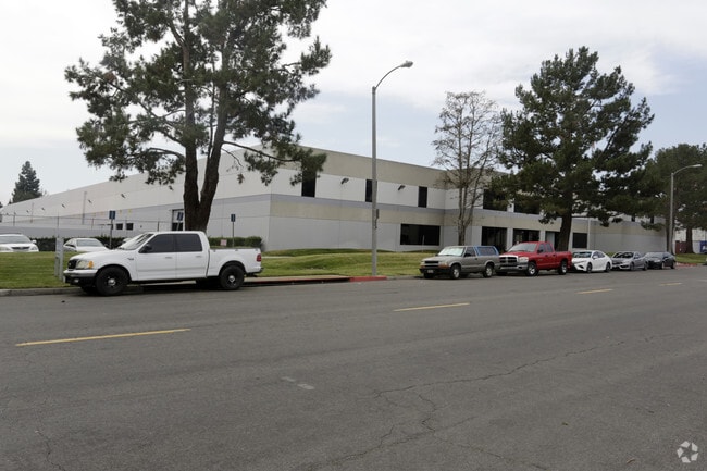
Property Record
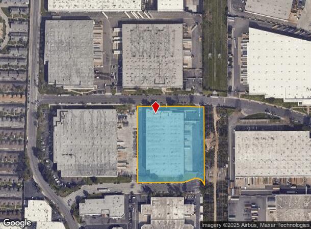
910 E 236Th St, Carson, CA 90745
Property Detail
910 E 236Th St
7315-037-035
P M 112-77-79 POR OF LOT 11
Warehouse
Los Angeles
X
California
06037C1942G
11
2024
4.72 AC
2025
Carson
543905
Los Angeles
97,950 SF
Los Angeles-Long Beach-Glendale, CA
NEARBY LISTINGS FOR SALE OR LEASE
DEMOGRAPHICS near 910 E 236Th St
1 mile
3 mile
5 mile
2024 Total Population
18,033
194,858
467,210
2029 Population
17,319
188,089
451,962
Pop Growth 2024-2029
(3.96%)
(3.47%)
(3.26%)
Average Age
39
40
40
2024 Total Households
4,743
56,219
152,820
HH Growth 2024-2029
(4.26%)
(3.67%)
(3.41%)
Median Household Inc
$91,678
$75,563
$74,406
Avg Household Size
3.60
3.20
2.90
2024 Avg HH Vehicles
3.00
2.00
2.00
Median Home Value
$660,556
$639,392
$687,445
Median Year Built
1957
1964
1964
Nearby Places
Map Layers
Map Styles
 Street
 Aerial
Transit
 Traffic
 Biking
Places
Listings with unknown addresses are not visible on the map
- Restaurants
- Banks
- Shops
- Fitness
- Groceries
PUBLIC TRANSPORTATION
AIRPORT
Long Beach (Daugherty Field)
Drive
Walk
Distance
Long Beach (Daugherty Field)
11 min
6.7 mi
Los Angeles International
Drive
Walk
Distance
Los Angeles International
23 min
16.3 mi
John Wayne/Orange County
Drive
Walk
Distance
John Wayne/Orange County
34 min
26.9 mi
Freight Ports
Port of Los Angeles
Drive
Walk
Distance
Port of Los Angeles
19 min
8.6 mi
Nearby Properties
Address
Land Use
TOTAL SIZE
Lot Size
Zoning
Address
Land Use
TOTAL SIZE
Lot Size
Zoning
671,091 SF
18 AC
LAC1
Address
Land Use
TOTAL SIZE
Lot Size
Zoning
236,582 SF
425.41 AC
CAMH*
Address
Land Use
TOTAL SIZE
Lot Size
Zoning
64,456 SF
11.71 AC
CASP-10*
Address
Land Use
TOTAL SIZE
Lot Size
Zoning
56,300 SF
116.80 AC
LAM3
Address
Land Use
TOTAL SIZE
Lot Size
Zoning
5,086 SF
255.48 AC
LAM3
Address
Land Use
TOTAL SIZE
Lot Size
Zoning
286,186 SF
8.20 AC
LAMR1
Address
Land Use
TOTAL SIZE
Lot Size
Zoning
108,891 SF
224.14 AC
CAMH*
Address
Land Use
TOTAL SIZE
Lot Size
Zoning
119,356 SF
3.86 AC
LAM2
Address
Land Use
TOTAL SIZE
Lot Size
Zoning
246,981 SF
11.95 AC
LARD2
Address
Land Use
TOTAL SIZE
Lot Size
Zoning
285,314 SF
14.28 AC
CAMH*
Address
Land Use
TOTAL SIZE
Lot Size
Zoning
84,365 SF
7.62 AC
LARAS3
Address
Land Use
TOTAL SIZE
Lot Size
Zoning
513,520 SF
19.09 AC
LBPD26
Address
Land Use
TOTAL SIZE
Lot Size
Zoning
CARM8U&D*
Address
Land Use
TOTAL SIZE
Lot Size
Zoning
429,141 SF
3.29 AC
LCM1*
Address
Land Use
TOTAL SIZE
Lot Size
Zoning
1,800 SF
124.45 AC
CAMH*
Address
Land Use
TOTAL SIZE
Lot Size
Zoning
174,910 SF
131.43 AC
LAM3
Address
Land Use
TOTAL SIZE
Lot Size
Zoning
213,408 SF
13.81 AC
LBR4R
Address
Land Use
TOTAL SIZE
Lot Size
Zoning
135,666 SF
LAM3
Address
Land Use
TOTAL SIZE
Lot Size
Zoning
14.80 AC
CAMH*
Address
Land Use
TOTAL SIZE
Lot Size
Zoning
10.30 AC
TOM2*
Address
Land Use
TOTAL SIZE
Lot Size
Zoning
178,323 SF
12.23 AC
CACR&D&MUR
Address
Land Use
TOTAL SIZE
Lot Size
Zoning
169,056 SF
10.04 AC
LBR4R
Address
Land Use
TOTAL SIZE
Lot Size
Zoning
496,472 SF
21.57 AC
CAMH*
Address
Land Use
TOTAL SIZE
Lot Size
Zoning
110,190 SF
5.16 AC
CAMH*
Address
Land Use
TOTAL SIZE
Lot Size
Zoning
105,853 SF
9.98 AC
CACA*
Address
Land Use
TOTAL SIZE
Lot Size
Zoning
291,508 SF
15.21 AC
LBR4R
Address
Land Use
TOTAL SIZE
Lot Size
Zoning
354,980 SF
8.36 AC
CAMH*
Address
Land Use
TOTAL SIZE
Lot Size
Zoning
312,272 SF
8.57 AC
CAMH*
Address
Land Use
TOTAL SIZE
Lot Size
Zoning
150,080 SF
6.59 AC
CAMH*
Address
Land Use
TOTAL SIZE
Lot Size
Zoning
99,090 SF
4.54 AC
CAMH*
The World's #1 Commercial Real Estate Marketplace
Connect with us
© 2026 CoStar Group
The information above has been obtained from sources believed reliable. While we do not doubt its accuracy we have not verified it and make no guarantee, warranty or representation about it. It is your responsibility to independently confirm its accuracy and completeness. Any projections, opinions, assumptions, or estimates used are for example only and do not represent the current or future performance of the property. The value of this transaction to you depends on tax and other factors which should be evaluated by your tax, financial, and legal advisors. You and your advisors should conduct a careful, independent investigation of the property to determine to your satisfaction the suitability of the property for your needs.