Property Record
912 2Nd St Ne, Hickory, NC 28601
NEARBY LISTINGS FOR SALE OR LEASE
Property Detail
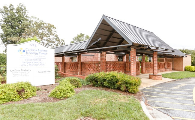
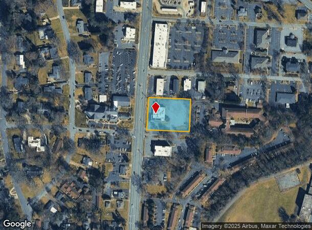
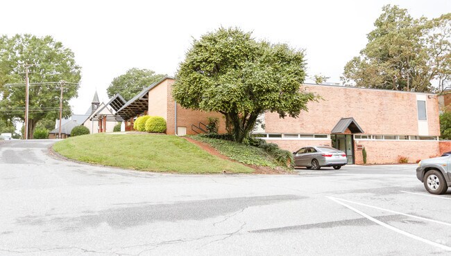
912 2Nd St Ne
3703157432170000
912 2ND ST NE
Officebuilding
Catawba
X
North Carolina
3710370300J
1.21 AC
2024
Catawba County
2025
Charlotte
010402
Hickory-Lenoir-Morganton, NC
10,505 SF
DEMOGRAPHICS near 912 2Nd St Ne
1 Mile
3 Mile
5 Mile
2024 Total Population
8,020
42,210
73,471
2029 Population
8,394
44,139
76,376
Pop Growth 2024-2029
+ 4.66%
+ 4.57%
+ 3.95%
Average Age
40
41
41
2024 Total Households
3,321
18,020
30,257
HH Growth 2024-2029
+ 4.82%
+ 4.59%
+ 3.97%
Median Household Inc
$55,976
$52,929
$57,080
Avg Household Size
2.00
2.20
2.30
2024 Avg HH Vehicles
2.00
2.00
2.00
Median Home Value
$261,746
$199,174
$187,606
Median Year Built
1973
1977
1979
Nearby Places
Map Layers
Map Styles
 Street
 Aerial
- Restaurants
- Banks
- Shops
- Fitness
- Groceries
SALE & LEASE HISTORY
LISTING DATE
SALE/LEASE

Jun 13, 2023
For Lease
Jul 05, 2024
For Sale
Nearby Properties
Address
Land Use
TOTAL SIZE
Lot Size
Zoning
Address
Land Use
TOTAL SIZE
Lot Size
Zoning
534,243 SF
285.78 AC
Address
Land Use
TOTAL SIZE
Lot Size
Zoning
10,422 SF
4.23 AC
OI
Address
Land Use
TOTAL SIZE
Lot Size
Zoning
8,492 SF
15.83 AC
R-4
Address
Land Use
TOTAL SIZE
Lot Size
Zoning
16,594 SF
7.22 AC
PD
Address
Land Use
TOTAL SIZE
Lot Size
Zoning
19.87 AC
OI
Address
Land Use
TOTAL SIZE
Lot Size
Zoning
27,008 SF
12.02 AC
R-3
Address
Land Use
TOTAL SIZE
Lot Size
Zoning
27.56 AC
OI
Address
Land Use
TOTAL SIZE
Lot Size
Zoning
94,152 SF
14.46 AC
IND
Address
Land Use
TOTAL SIZE
Lot Size
Zoning
7,722 SF
10.01 AC
R-4
Address
Land Use
TOTAL SIZE
Lot Size
Zoning
17,175 SF
12.17 AC
PD
Address
Land Use
TOTAL SIZE
Lot Size
Zoning
57,658 SF
10.64 AC
OI
Address
Land Use
TOTAL SIZE
Lot Size
Zoning
8,436 SF
13.28 AC
R-4
Address
Land Use
TOTAL SIZE
Lot Size
Zoning
9,376 SF
0.75 AC
C-1
Address
Land Use
TOTAL SIZE
Lot Size
Zoning
311,263 SF
37.58 AC
IND
Address
Land Use
TOTAL SIZE
Lot Size
Zoning
30,415 SF
1.59 AC
C-1
Address
Land Use
TOTAL SIZE
Lot Size
Zoning
1,726 SF
15.93 AC
PD
Address
Land Use
TOTAL SIZE
Lot Size
Zoning
8,992 SF
11.66 AC
R-4
Address
Land Use
TOTAL SIZE
Lot Size
Zoning
146,932 SF
27.08 AC
C-3
Address
Land Use
TOTAL SIZE
Lot Size
Zoning
90,440 SF
5.17 AC
OI
Address
Land Use
TOTAL SIZE
Lot Size
Zoning
9,950 SF
9.42 AC
R-3
Address
Land Use
TOTAL SIZE
Lot Size
Zoning
8,960 SF
14.07 AC
R-4
Address
Land Use
TOTAL SIZE
Lot Size
Zoning
8,637 SF
5 AC
CC-1
Address
Land Use
TOTAL SIZE
Lot Size
Zoning
14.15 AC
OI
Address
Land Use
TOTAL SIZE
Lot Size
Zoning
22,319 SF
15.57 AC
CC-1
Address
Land Use
TOTAL SIZE
Lot Size
Zoning
60,130 SF
4.02 AC
IND
Address
Land Use
TOTAL SIZE
Lot Size
Zoning
8.36 AC
OI
Address
Land Use
TOTAL SIZE
Lot Size
Zoning
6,144 SF
11.37 AC
R-4
Address
Land Use
TOTAL SIZE
Lot Size
Zoning
15,164 SF
8.29 AC
PD
Address
Land Use
TOTAL SIZE
Lot Size
Zoning
27,426 SF
7.99 AC
PD
Address
Land Use
TOTAL SIZE
Lot Size
Zoning
7,742 SF
10.93 AC
PD
The World's #1 Commercial Real Estate Marketplace
Connect with us
© 2025 CoStar Group
The information above has been obtained from sources believed reliable. While we do not doubt its accuracy we have not verified it and make no guarantee, warranty or representation about it. It is your responsibility to independently confirm its accuracy and completeness. Any projections, opinions, assumptions, or estimates used are for example only and do not represent the current or future performance of the property. The value of this transaction to you depends on tax and other factors which should be evaluated by your tax, financial, and legal advisors. You and your advisors should conduct a careful, independent investigation of the property to determine to your satisfaction the suitability of the property for your needs.