Property Record
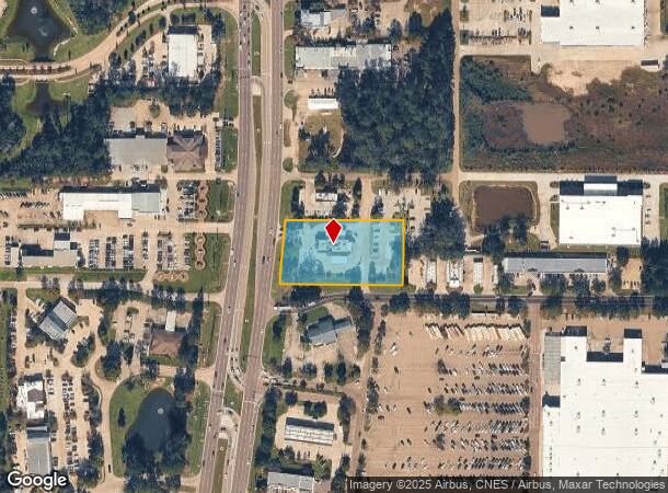
912 N Highway 190, Covington, LA 70433

NEARBY LISTINGS FOR SALE OR LEASE
Property Detail
912 N Highway 190
New Orleans-Metairie, LA
Commercial N Hwy 190
24642
1.72 ACS SEC 15 7 11 CB 156 161 CB 156 170 CB 227 582 CB 407 212 LESS PT TO HWY CB 534 417 INST NO 1175251 INST NO 1175256 IN
Commercialnec
St Tammany
ARE
Louisiana
2025
1.72 AC
2024
Mandeville/Covington
040609
New Orleans/Metairie/Kenner
4,590 SF
DEMOGRAPHICS near 912 N Highway 190
1 Mile
3 Mile
5 Mile
2024 Total Population
6,047
35,683
85,869
2029 Population
6,471
38,494
92,311
Pop Growth 2024-2029
+ 7.01%
+ 7.88%
+ 7.50%
Average Age
41
41
42
2024 Total Households
2,674
14,500
33,962
HH Growth 2024-2029
+ 6.81%
+ 7.86%
+ 7.51%
Median Household Inc
$68,999
$74,039
$75,075
Avg Household Size
2.20
2.40
2.50
2024 Avg HH Vehicles
2.00
2.00
2.00
Median Home Value
$229,176
$285,835
$308,556
Median Year Built
2000
1996
1995
Nearby Places
Map Layers
Map Styles
 Street
 Aerial
- Restaurants
- Banks
- Shops
- Fitness
- Groceries
Nearby Properties
Address
Land Use
TOTAL SIZE
Lot Size
Zoning
Address
Land Use
TOTAL SIZE
Lot Size
Zoning
515,547 SF
20.54 AC
Address
Land Use
TOTAL SIZE
Lot Size
Zoning
178,608 SF
34.02 AC
Address
Land Use
TOTAL SIZE
Lot Size
Zoning
200,000 SF
0.28 AC
Address
Land Use
TOTAL SIZE
Lot Size
Zoning
86,167 SF
0.71 AC
Address
Land Use
TOTAL SIZE
Lot Size
Zoning
68,478 SF
6.64 AC
Address
Land Use
TOTAL SIZE
Lot Size
Zoning
66,500 SF
4.35 AC
Address
Land Use
TOTAL SIZE
Lot Size
Zoning
102,470 SF
10.50 AC
Address
Land Use
TOTAL SIZE
Lot Size
Zoning
57,360 SF
2.77 AC
Address
Land Use
TOTAL SIZE
Lot Size
Zoning
205,612 SF
23.60 AC
Address
Land Use
TOTAL SIZE
Lot Size
Zoning
147,611 SF
22 AC
Address
Land Use
TOTAL SIZE
Lot Size
Zoning
131,925 SF
2.02 AC
Address
Land Use
TOTAL SIZE
Lot Size
Zoning
38,976 SF
6.80 AC
Address
Land Use
TOTAL SIZE
Lot Size
Zoning
92,535 SF
2.80 AC
Address
Land Use
TOTAL SIZE
Lot Size
Zoning
114,823 SF
4.57 AC
Address
Land Use
TOTAL SIZE
Lot Size
Zoning
124,002 SF
20.55 AC
Address
Land Use
TOTAL SIZE
Lot Size
Zoning
86,688 SF
3.75 AC
Address
Land Use
TOTAL SIZE
Lot Size
Zoning
106,915 SF
20 AC
Address
Land Use
TOTAL SIZE
Lot Size
Zoning
114,727 SF
4.46 AC
Address
Land Use
TOTAL SIZE
Lot Size
Zoning
Address
Land Use
TOTAL SIZE
Lot Size
Zoning
48,866 SF
2.21 AC
Address
Land Use
TOTAL SIZE
Lot Size
Zoning
126 SF
2.55 AC
Address
Land Use
TOTAL SIZE
Lot Size
Zoning
70,689 SF
2.90 AC
Address
Land Use
TOTAL SIZE
Lot Size
Zoning
97,331 SF
25.37 AC
Address
Land Use
TOTAL SIZE
Lot Size
Zoning
48,200 SF
1.95 AC
Address
Land Use
TOTAL SIZE
Lot Size
Zoning
42,513 SF
7.07 AC
Address
Land Use
TOTAL SIZE
Lot Size
Zoning
94,300 SF
15.21 AC
Address
Land Use
TOTAL SIZE
Lot Size
Zoning
148,494 SF
15.43 AC
Address
Land Use
TOTAL SIZE
Lot Size
Zoning
142 SF
2 AC
Address
Land Use
TOTAL SIZE
Lot Size
Zoning
41,311 SF
Address
Land Use
TOTAL SIZE
Lot Size
Zoning
72,091 SF
3.10 AC
The World's #1 Commercial Real Estate Marketplace
Connect with us
© 2025 CoStar Group
The information above has been obtained from sources believed reliable. While we do not doubt its accuracy we have not verified it and make no guarantee, warranty or representation about it. It is your responsibility to independently confirm its accuracy and completeness. Any projections, opinions, assumptions, or estimates used are for example only and do not represent the current or future performance of the property. The value of this transaction to you depends on tax and other factors which should be evaluated by your tax, financial, and legal advisors. You and your advisors should conduct a careful, independent investigation of the property to determine to your satisfaction the suitability of the property for your needs.