Property Record
Mitchell Rd, Lillington, NC 27546
NEARBY LISTINGS FOR SALE OR LEASE
Property Detail
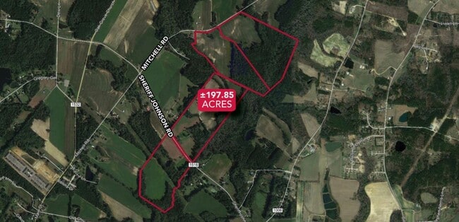
Mitchell Rd
Dunn, NC
Blake Pond
110681 0044 02
40.77AC PAR#B R MABRY ESTP#D137A&F757A
Agriculturalland
Harnett
AE
North Carolina
3720068000J
40.77 AC
2025
North Carolina Southeast Area
2025
Other Market Areas
071102
DEMOGRAPHICS near Mitchell Rd
1 Mile
3 Mile
5 Mile
2024 Total Population
2,055
7,982
17,799
2029 Population
2,220
8,629
19,357
Pop Growth 2024-2029
+ 8.03%
+ 8.11%
+ 8.75%
Average Age
31
35
39
2024 Total Households
684
2,813
6,411
HH Growth 2024-2029
+ 8.92%
+ 8.78%
+ 9.31%
Median Household Inc
$47,125
$49,328
$55,294
Avg Household Size
2.20
2.30
2.50
2024 Avg HH Vehicles
2.00
2.00
2.00
Median Home Value
$177,192
$185,205
$199,340
Median Year Built
1995
1992
1991
Nearby Places
Map Layers
Map Styles
 Street
 Aerial
- Restaurants
- Banks
- Shops
- Fitness
- Groceries
SALE & LEASE HISTORY
LISTING DATE
SALE/LEASE

Dec 03, 2020
For Sale
Nearby Properties
Address
Land Use
TOTAL SIZE
Lot Size
Zoning
Address
Land Use
TOTAL SIZE
Lot Size
Zoning
34,086 SF
1.04 AC
OI
Address
Land Use
TOTAL SIZE
Lot Size
Zoning
90,007 SF
22.57 AC
Address
Land Use
TOTAL SIZE
Lot Size
Zoning
153,223 SF
9.32 AC
I
Address
Land Use
TOTAL SIZE
Lot Size
Zoning
29,408 SF
33.52 AC
RA
Address
Land Use
TOTAL SIZE
Lot Size
Zoning
33,205 SF
2.70 AC
OI
Address
Land Use
TOTAL SIZE
Lot Size
Zoning
18,045 SF
1.30 AC
RA20M
Address
Land Use
TOTAL SIZE
Lot Size
Zoning
43.10 AC
RA30
Address
Land Use
TOTAL SIZE
Lot Size
Zoning
16,650 SF
4.70 AC
R20
Address
Land Use
TOTAL SIZE
Lot Size
Zoning
35,768 SF
5.91 AC
RA20M
Address
Land Use
TOTAL SIZE
Lot Size
Zoning
18,569 SF
2.52 AC
RA30
Address
Land Use
TOTAL SIZE
Lot Size
Zoning
17,890 SF
1.23 AC
C1
Address
Land Use
TOTAL SIZE
Lot Size
Zoning
1,764 SF
48.50 AC
RA30
Address
Land Use
TOTAL SIZE
Lot Size
Zoning
20,993 SF
1.91 AC
C2
Address
Land Use
TOTAL SIZE
Lot Size
Zoning
10,472 SF
1.97 AC
COMM
Address
Land Use
TOTAL SIZE
Lot Size
Zoning
0.06 AC
R20
Address
Land Use
TOTAL SIZE
Lot Size
Zoning
7,892 SF
1.12 AC
RA30
Address
Land Use
TOTAL SIZE
Lot Size
Zoning
5,636 SF
11.18 AC
I
Address
Land Use
TOTAL SIZE
Lot Size
Zoning
11,867 SF
2.91 AC
C3
Address
Land Use
TOTAL SIZE
Lot Size
Zoning
11,789 SF
0.86 AC
C3
Address
Land Use
TOTAL SIZE
Lot Size
Zoning
7,000 SF
1.89 AC
R20
Address
Land Use
TOTAL SIZE
Lot Size
Zoning
7,586 SF
0.99 AC
R20
Address
Land Use
TOTAL SIZE
Lot Size
Zoning
11,040 SF
0.46 AC
C2
Address
Land Use
TOTAL SIZE
Lot Size
Zoning
9,478 SF
3.98 AC
RA30
Address
Land Use
TOTAL SIZE
Lot Size
Zoning
12,180 SF
0.30 AC
OI
Address
Land Use
TOTAL SIZE
Lot Size
Zoning
13,450 SF
1.86 AC
RA20M
Address
Land Use
TOTAL SIZE
Lot Size
Zoning
5,580 SF
7.44 AC
RA
Address
Land Use
TOTAL SIZE
Lot Size
Zoning
6,480 SF
3.52 AC
RA30
Address
Land Use
TOTAL SIZE
Lot Size
Zoning
3,150 SF
1.01 AC
C3
Address
Land Use
TOTAL SIZE
Lot Size
Zoning
2,460 SF
37.51 AC
RA30
Address
Land Use
TOTAL SIZE
Lot Size
Zoning
57.59 AC
RA30
The World's #1 Commercial Real Estate Marketplace
Connect with us
© 2026 CoStar Group
The information above has been obtained from sources believed reliable. While we do not doubt its accuracy we have not verified it and make no guarantee, warranty or representation about it. It is your responsibility to independently confirm its accuracy and completeness. Any projections, opinions, assumptions, or estimates used are for example only and do not represent the current or future performance of the property. The value of this transaction to you depends on tax and other factors which should be evaluated by your tax, financial, and legal advisors. You and your advisors should conduct a careful, independent investigation of the property to determine to your satisfaction the suitability of the property for your needs.